


Written & Photographed by Robin Stanton, Media Relations Manager
I revisited two Floodplains by Designs sites on the Puyallup River – the Calistoga Reach project in the town of Orting, and the South Fork project a few miles north and downriver from there.
These were both projects designed to re-connect the Puyallup River with its historic floodplain, provide more salmon habitat, and reduce the threat of flooding to people.
The Calistoga Reach project was completed in November of 2014—a week later the river hit a flood stage that previously had sent thousands of people fleeing from their homes. This time, Building Official Ken Wolfe said, “We didn’t have to deploy even one sandbag.” The river rose again in 2015, and again the town stayed dry.
Today, you can see the reclaimed natural areas that in times of flood give the river room to rise, and also offer refuge to juvenile salmon and other wildlife and walking paths for people.
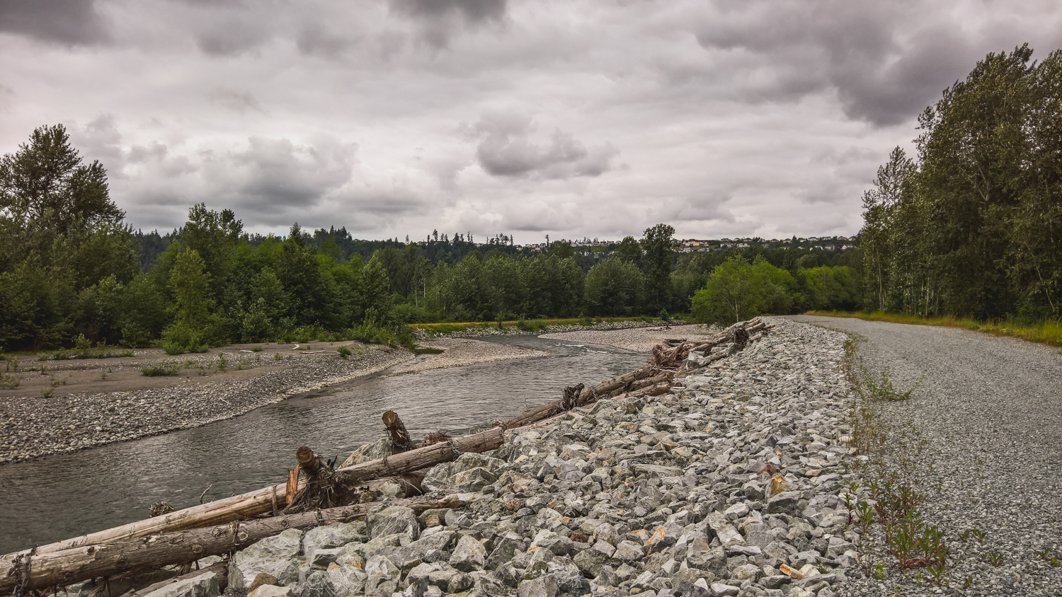
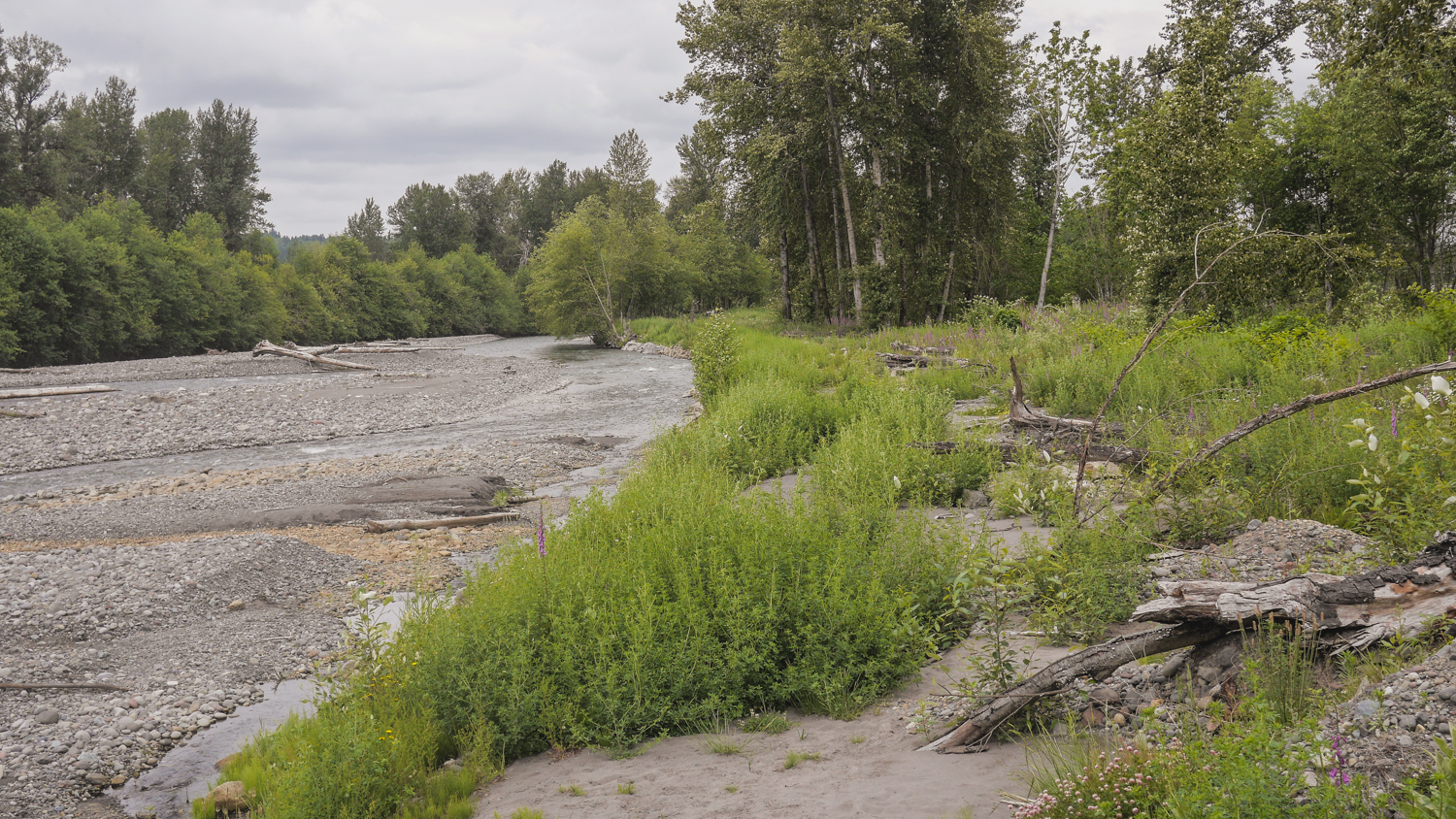
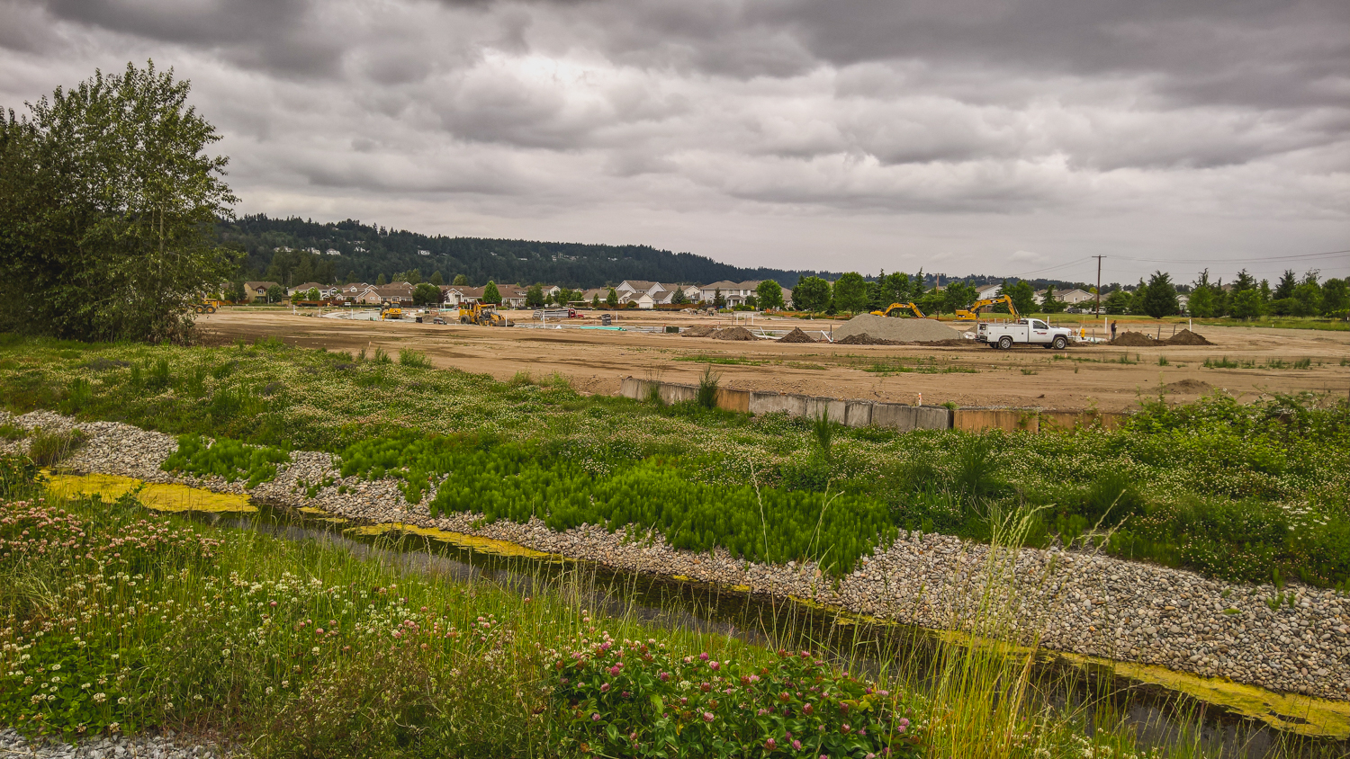
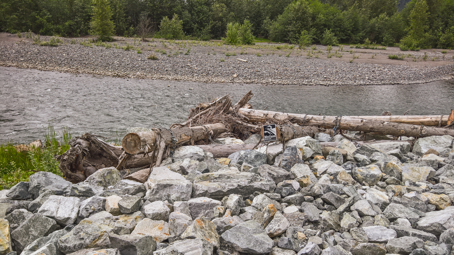
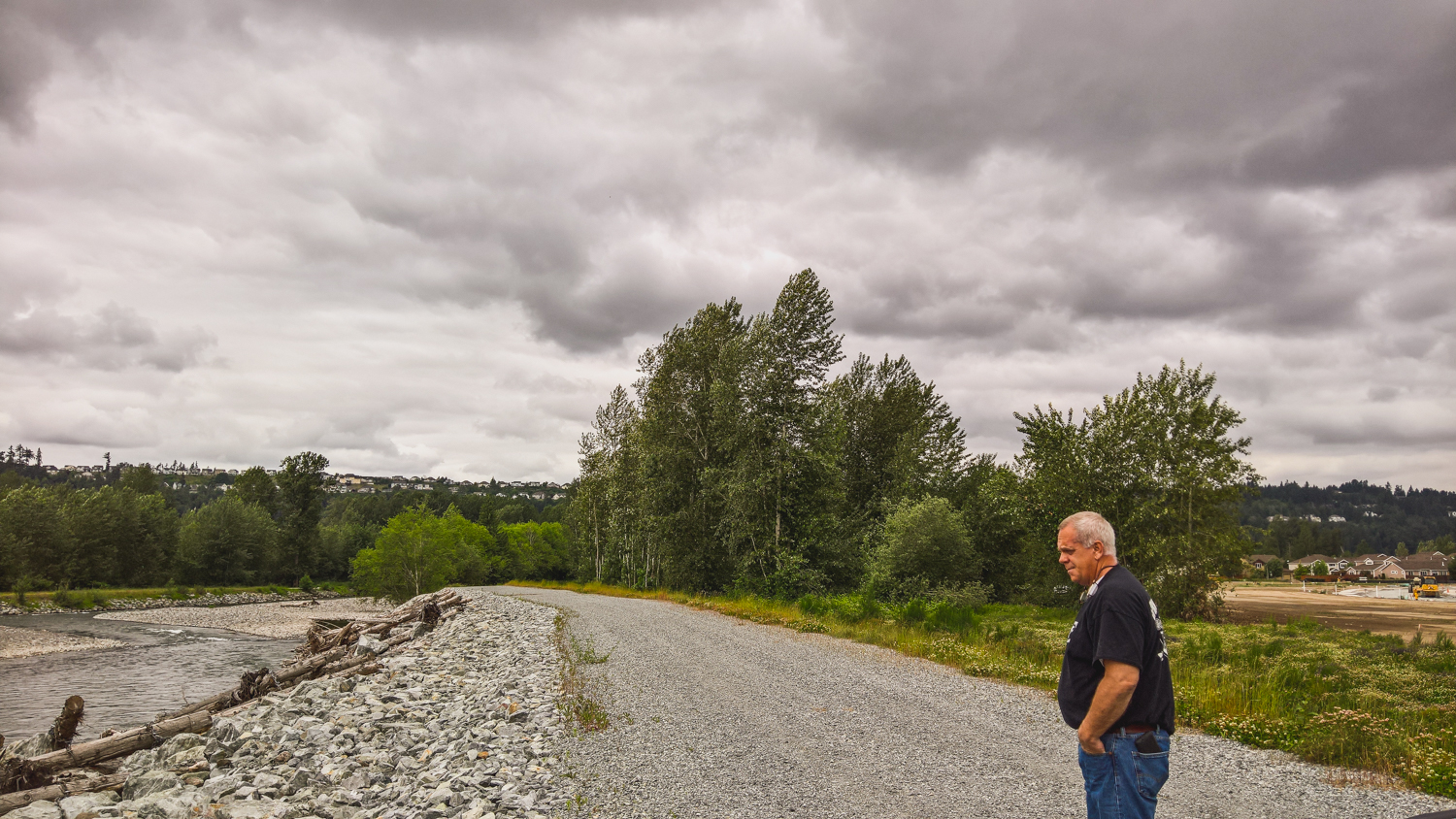
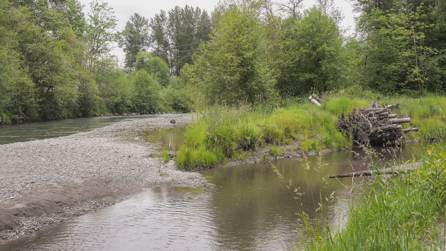
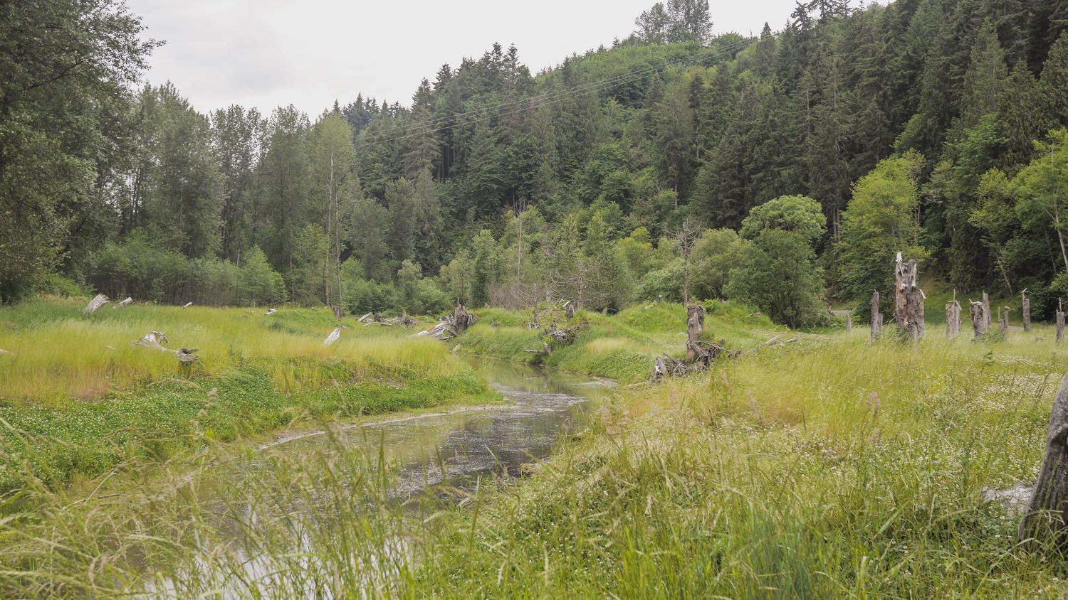
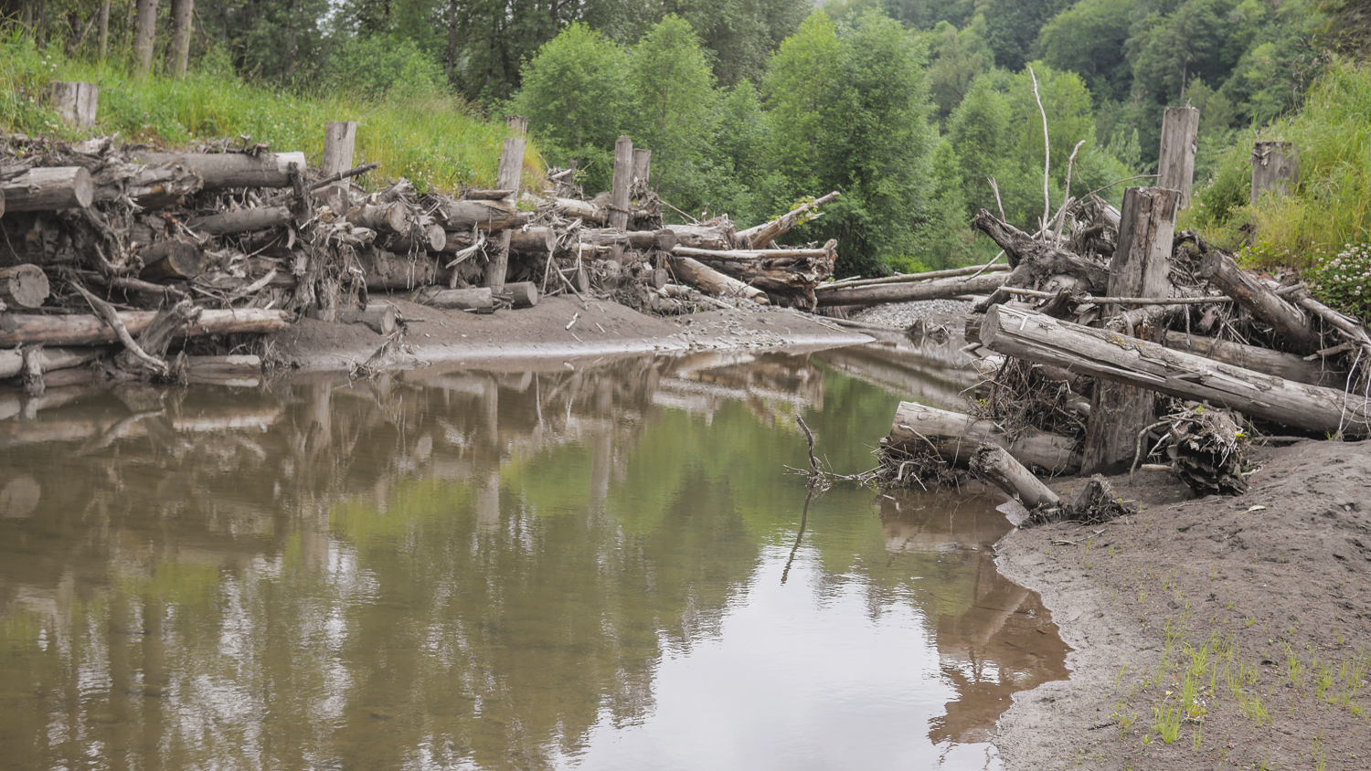
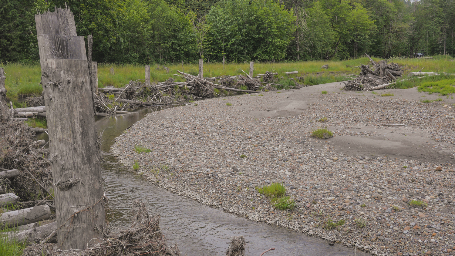
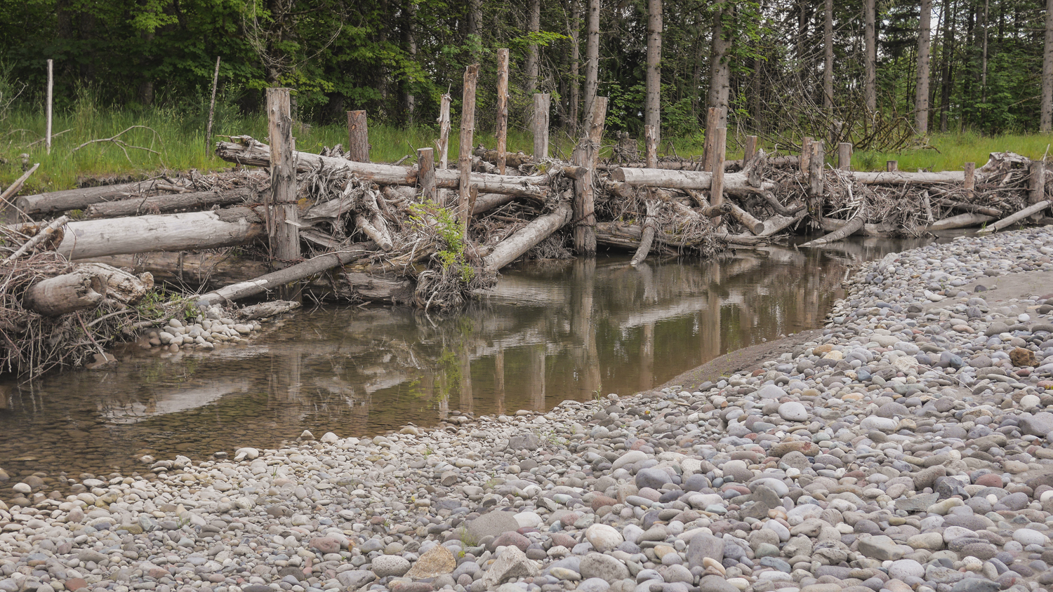
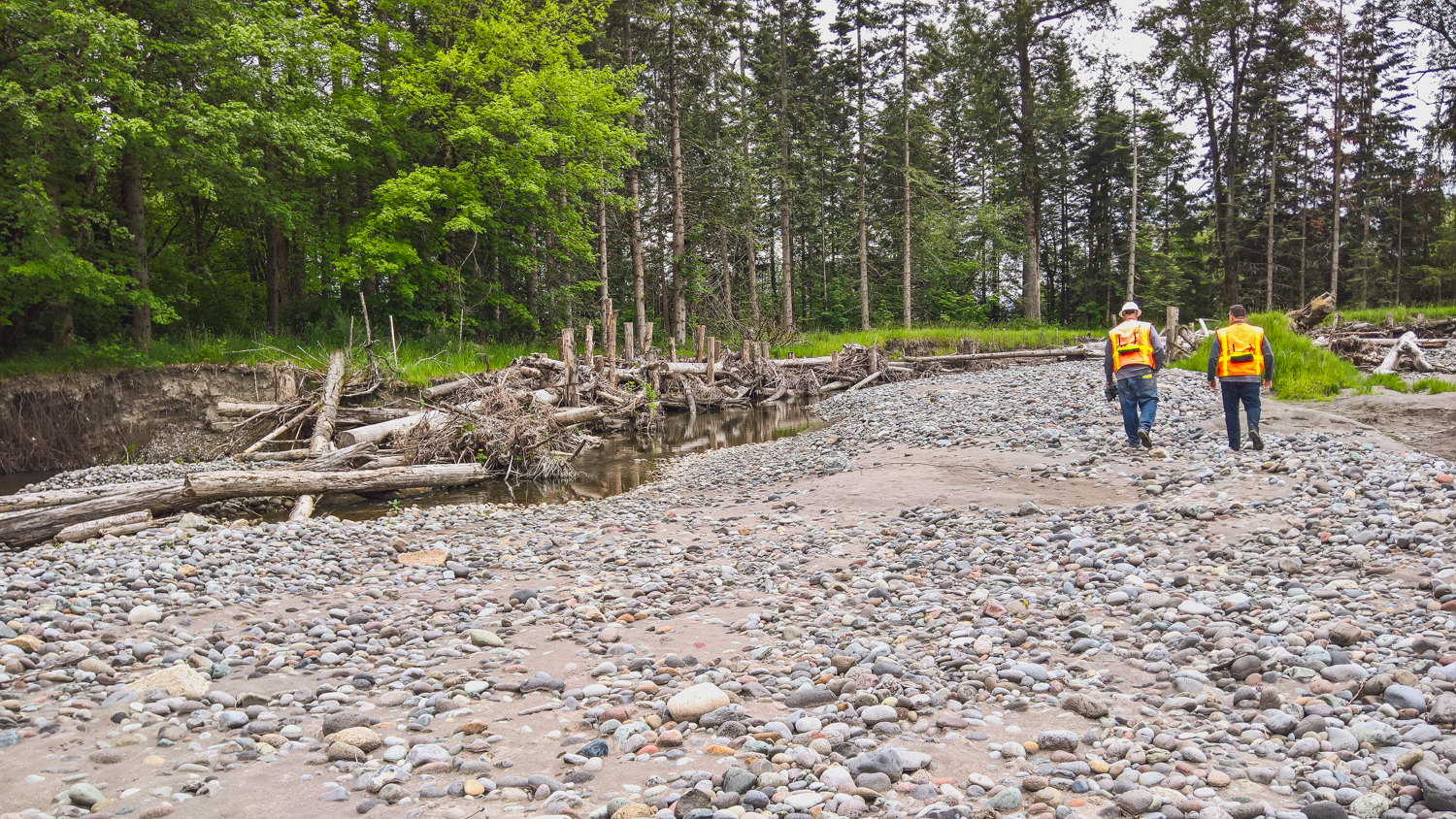
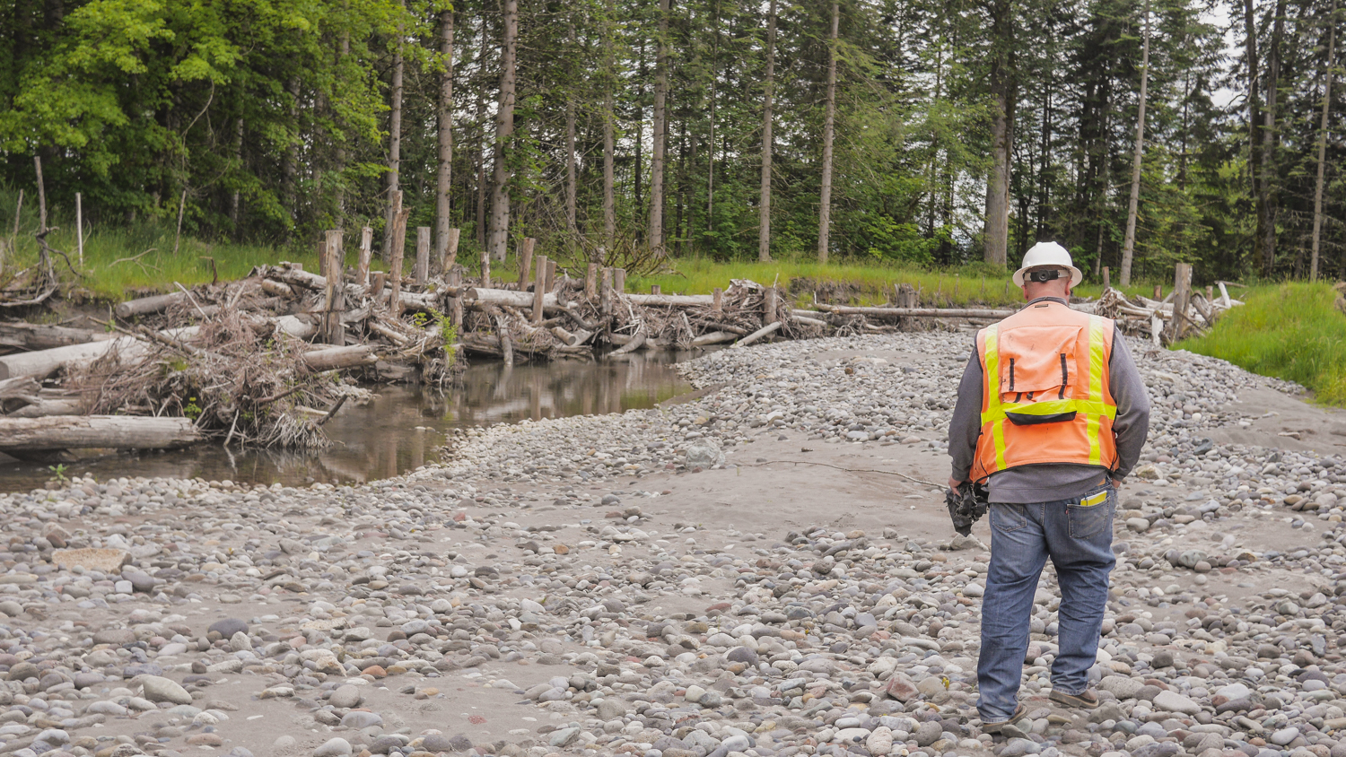
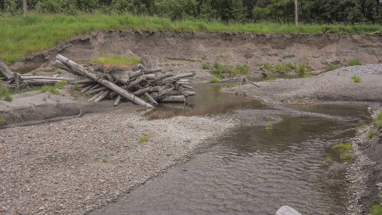
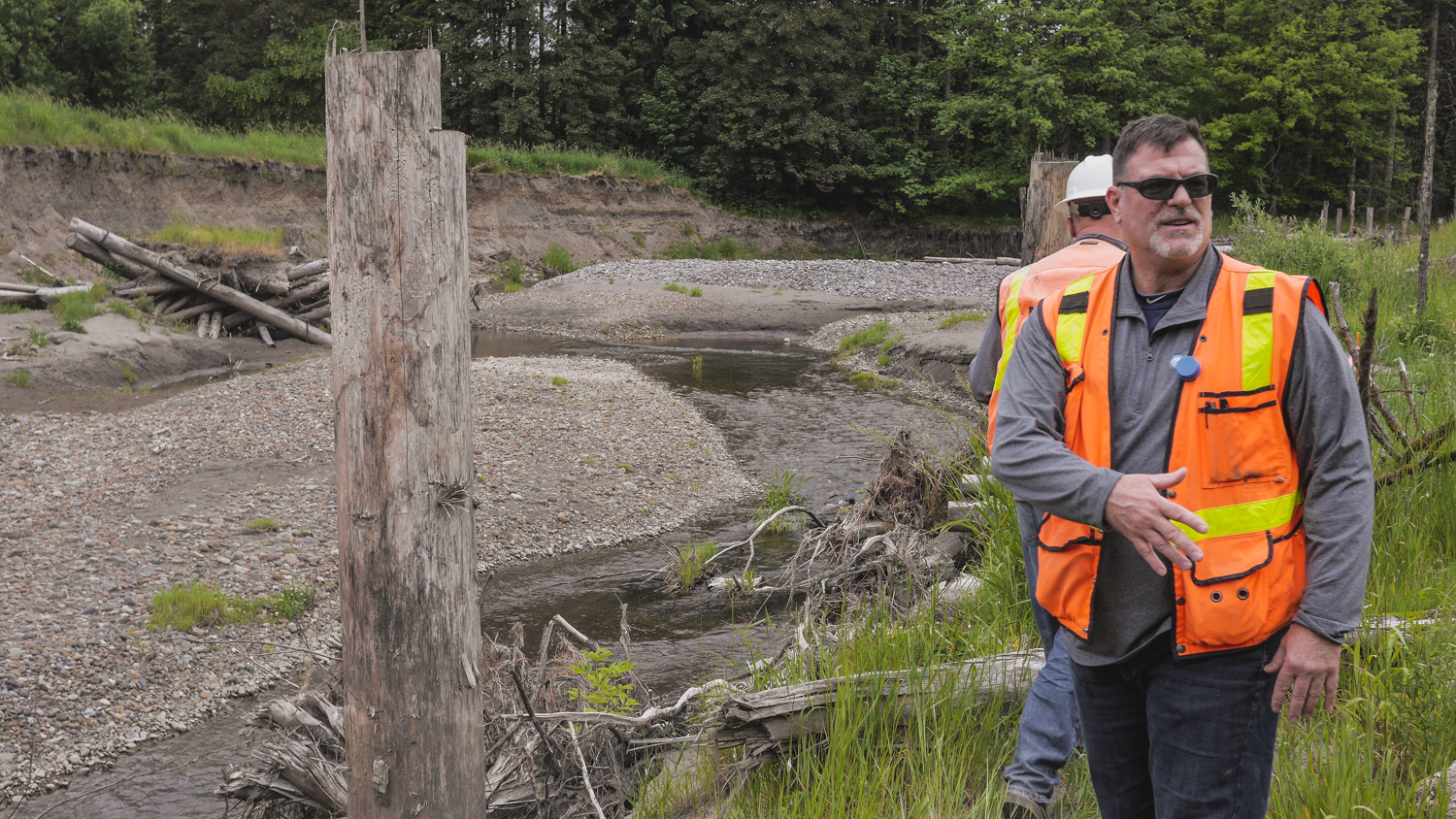
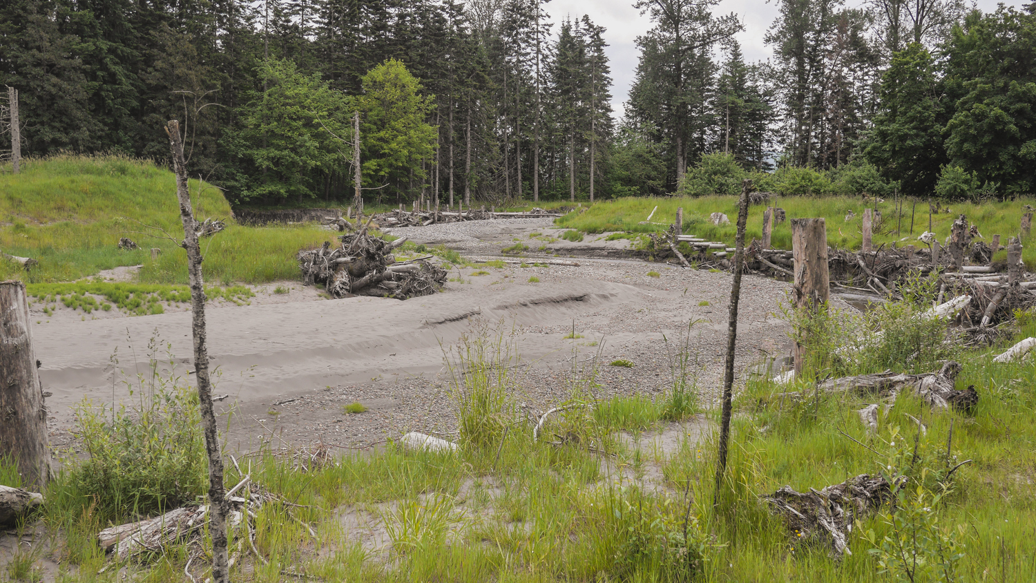
The South Fork project is a new side channel for the river, again giving the water places to go when the volume is high, along with great salmon habitat. It’s being completed in stages, and by the time it’s finished, it will be a mile-long side channel, the longest on the Puyallup River. Engineers Jeffrey Davidson and David Davis helped me scramble all over the site, Pointing out new channels created by the river, engineered logjams that are evolving as the river runs through, and new gravel bars and sediment deposits brought down from Mount Rainier by the power of the river. Salmon are using the site, and they’ve seen black bear and deer out there as well.
It's remarkable to see how nature can come back and revive when you give it a chance!


