Trails

Land Sale Enhances Pacific Crest Trail

Nature Conservancy sells 1,164 acres to U.S. Forest Service


Cle Elum —The Nature Conservancy has sold two sections totaling 1,164 acres of its Central Cascades Forests to the Forest Service, to be managed as part of the Okanogan-Wenatchee National Forest.

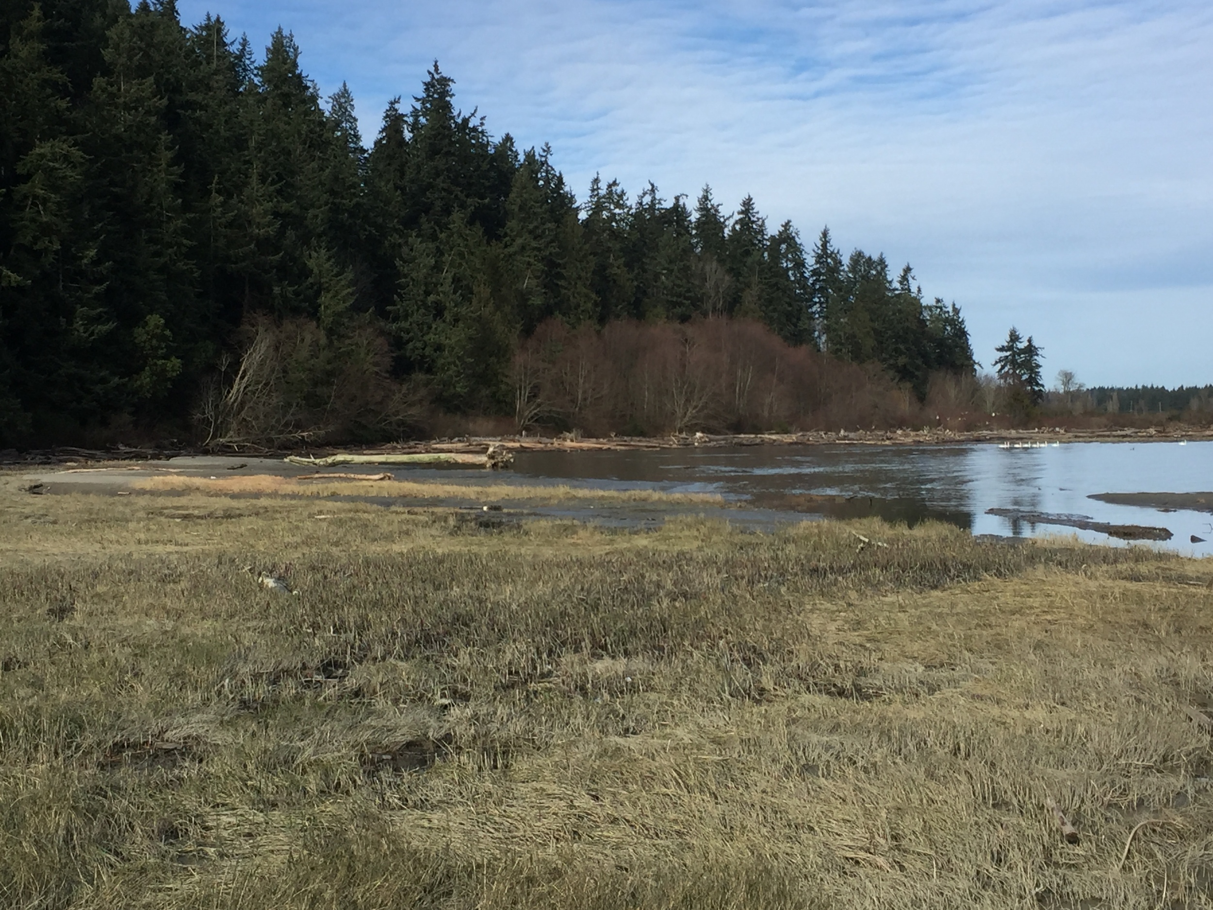
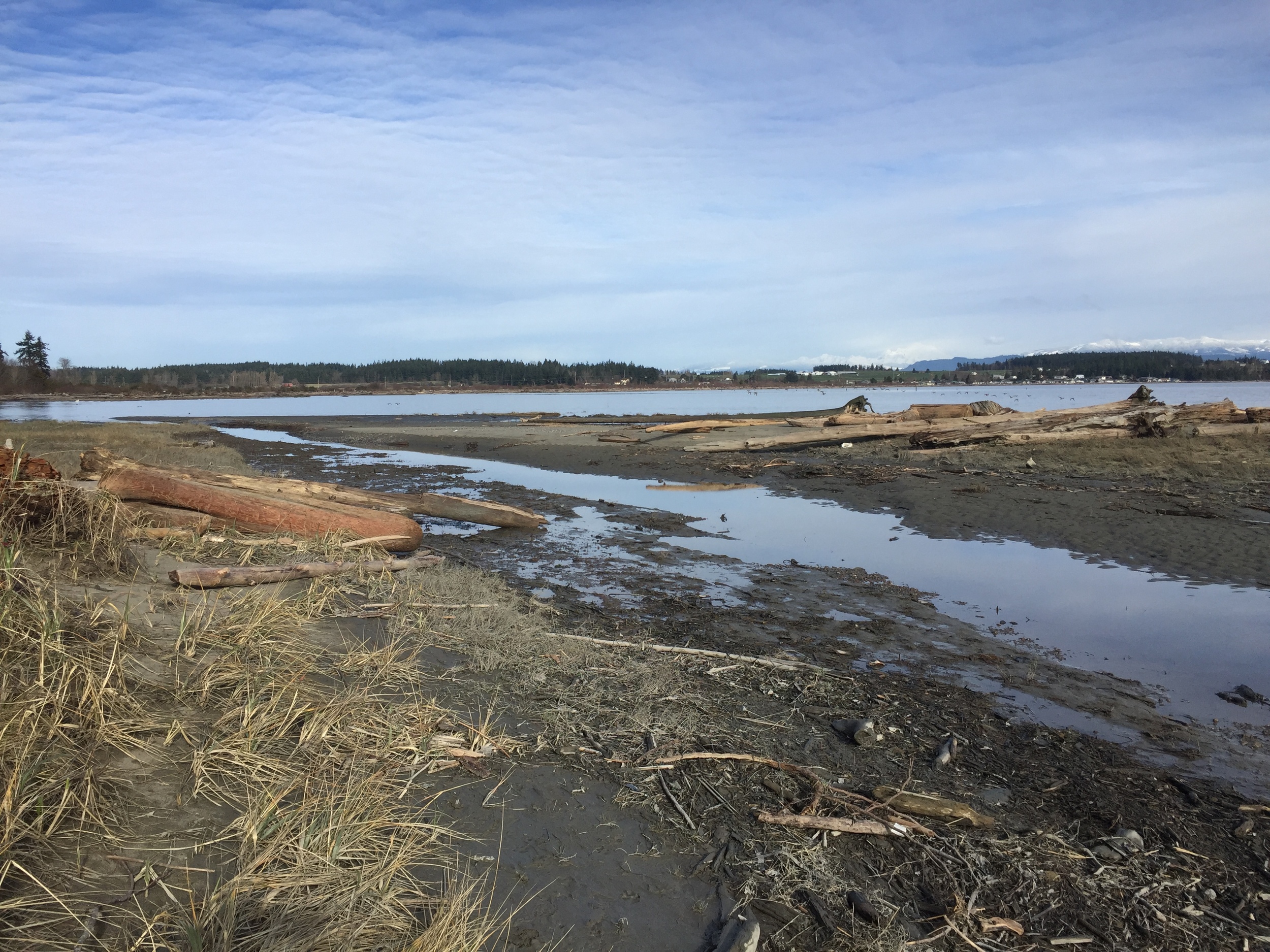
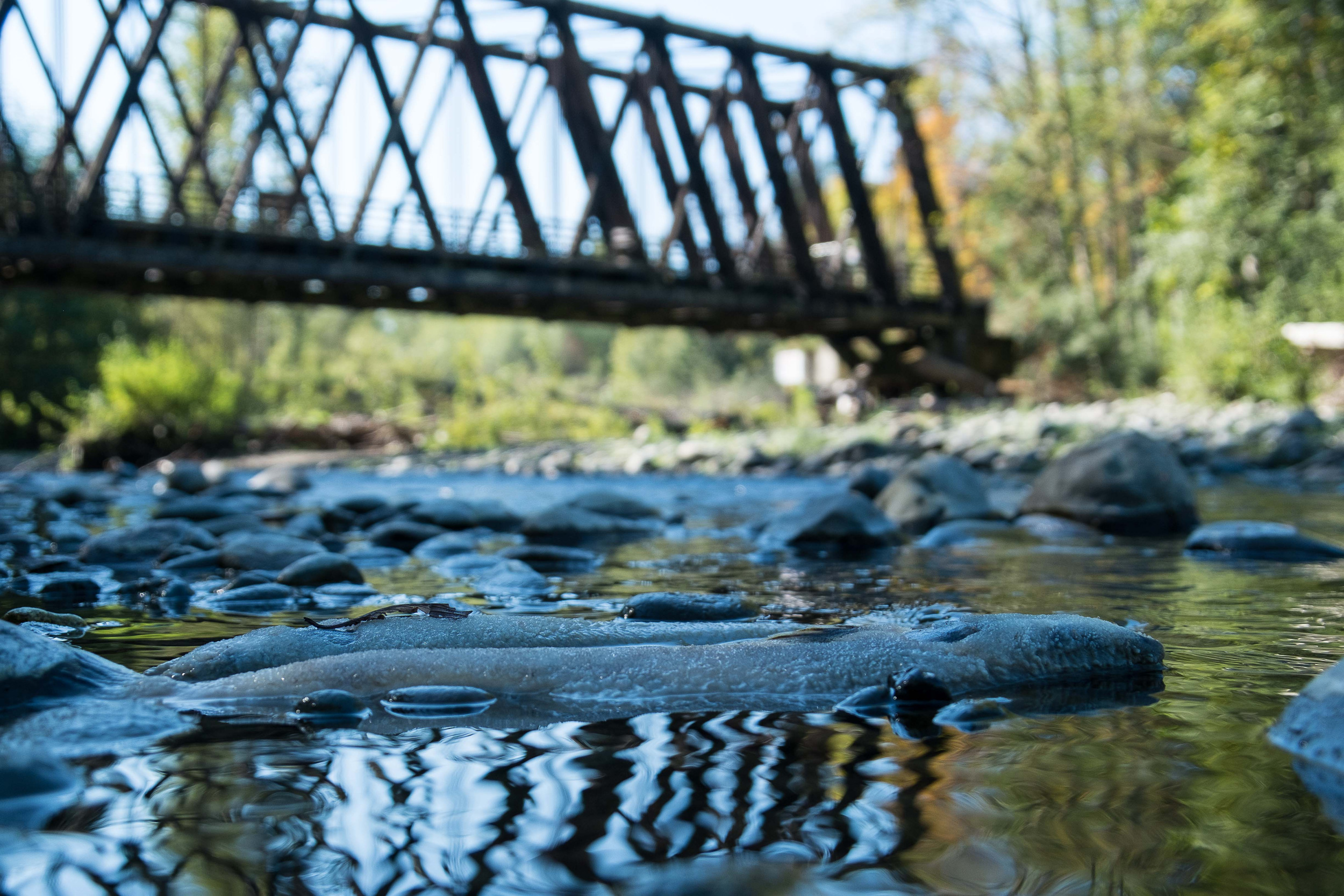
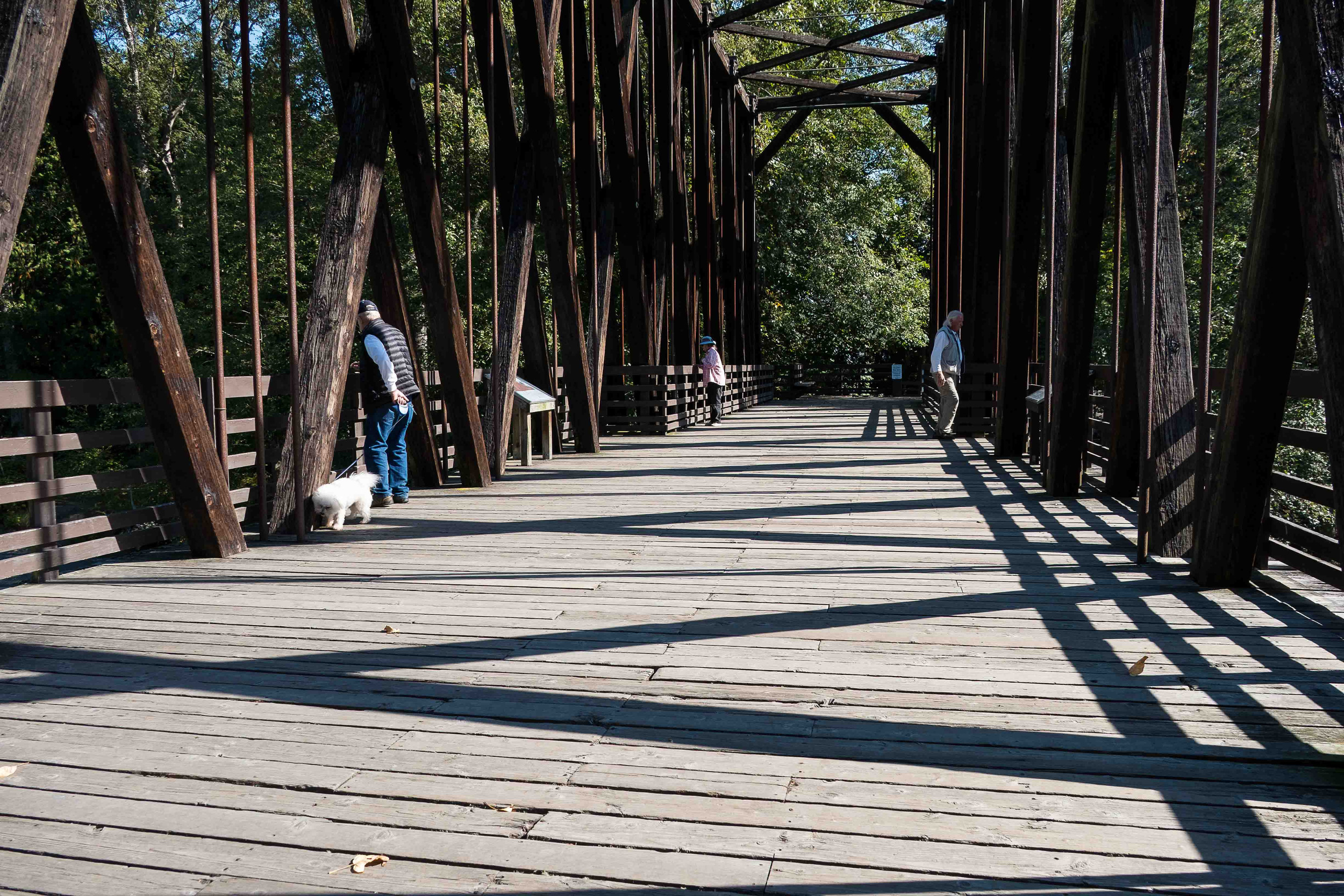
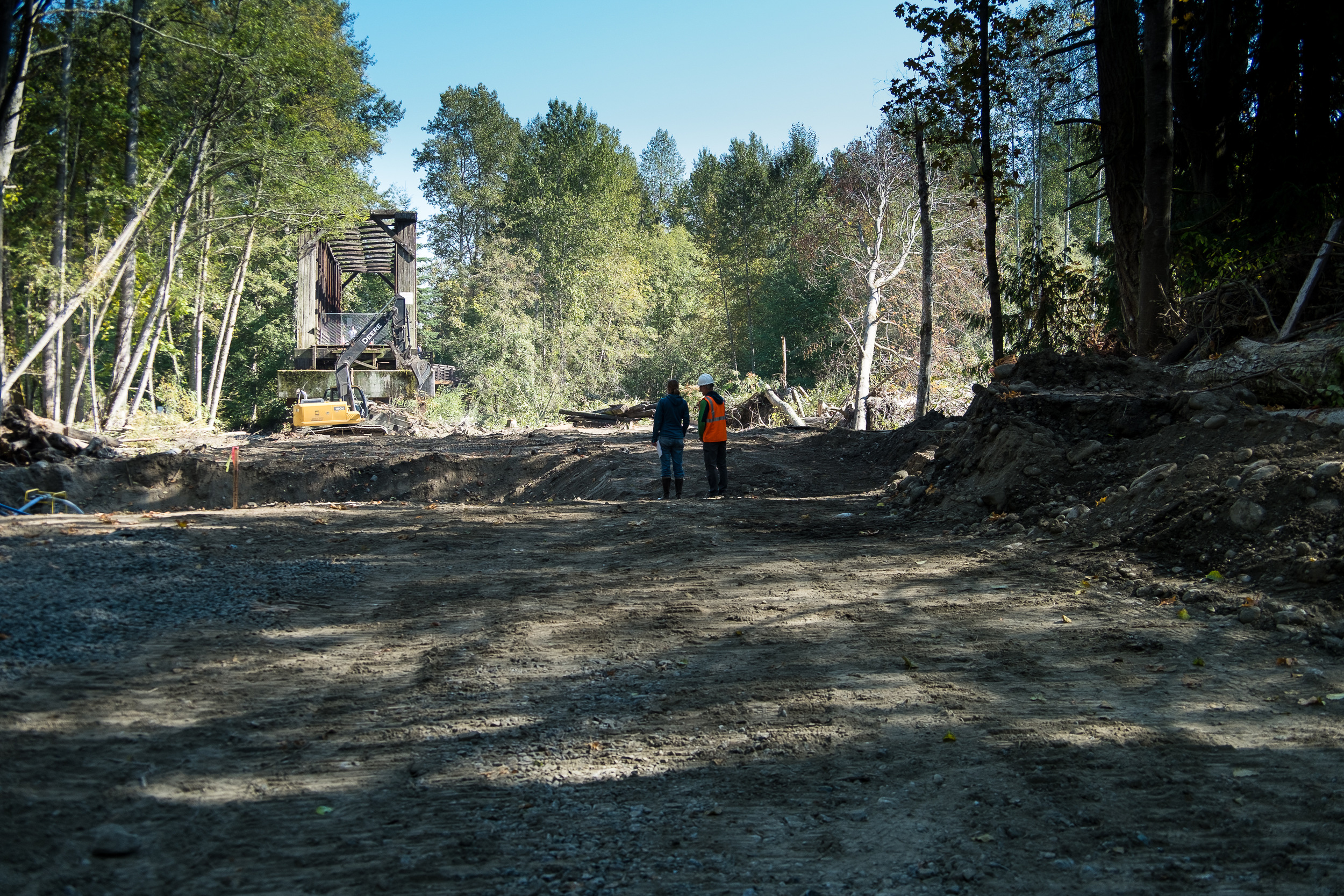
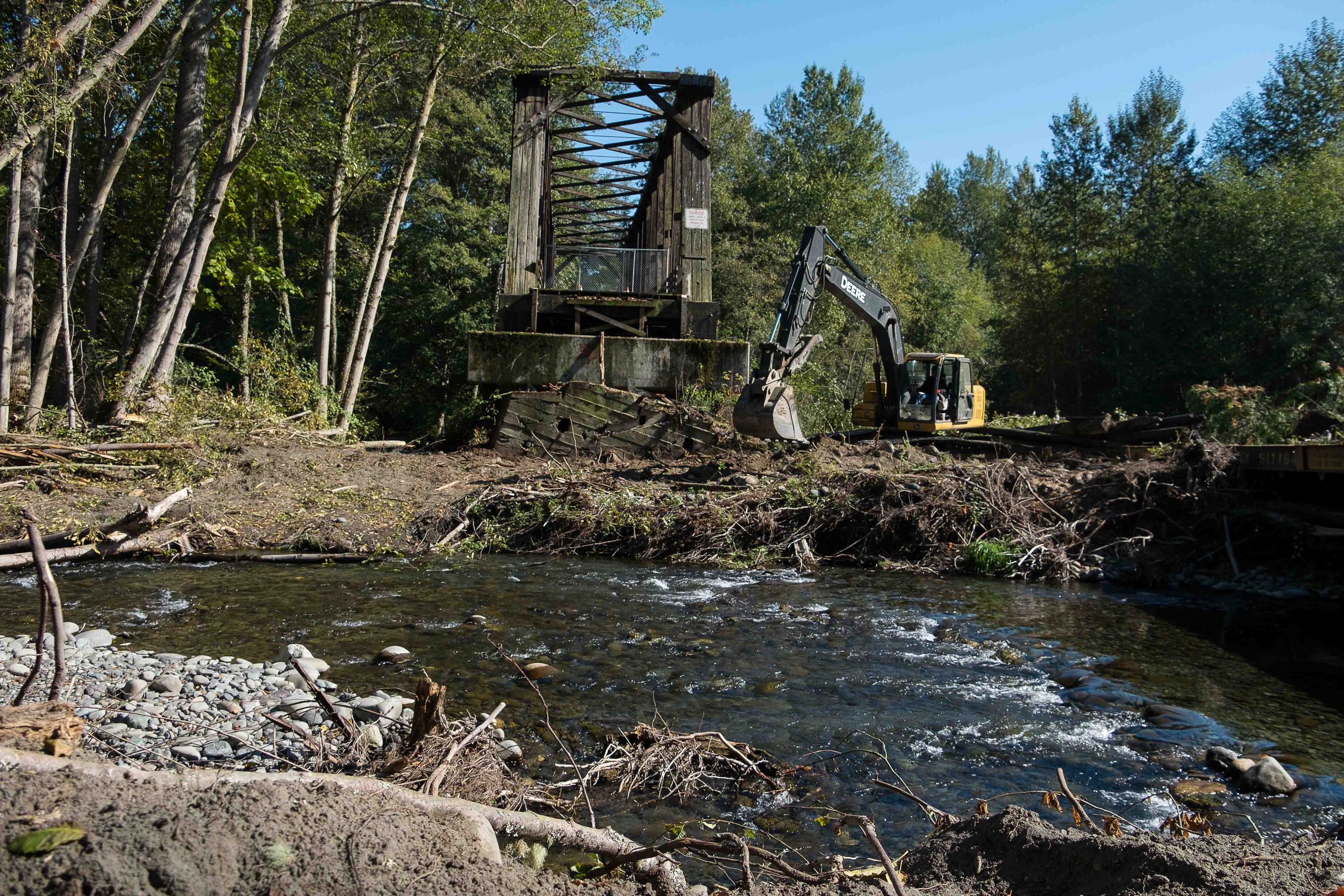
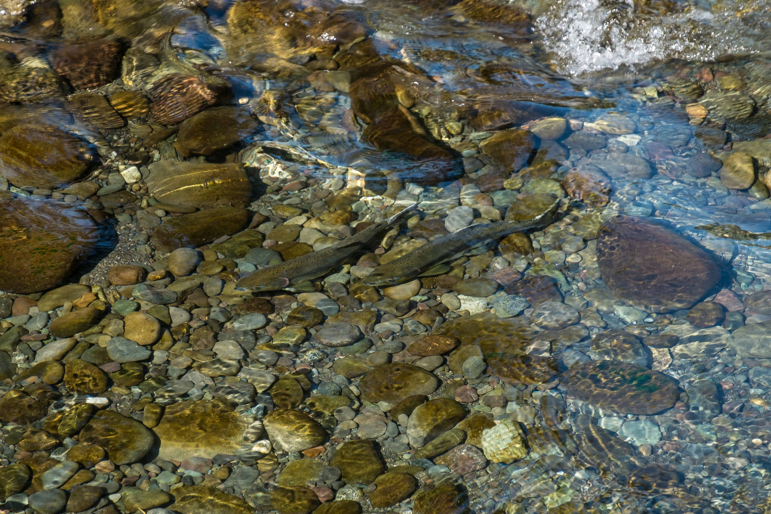
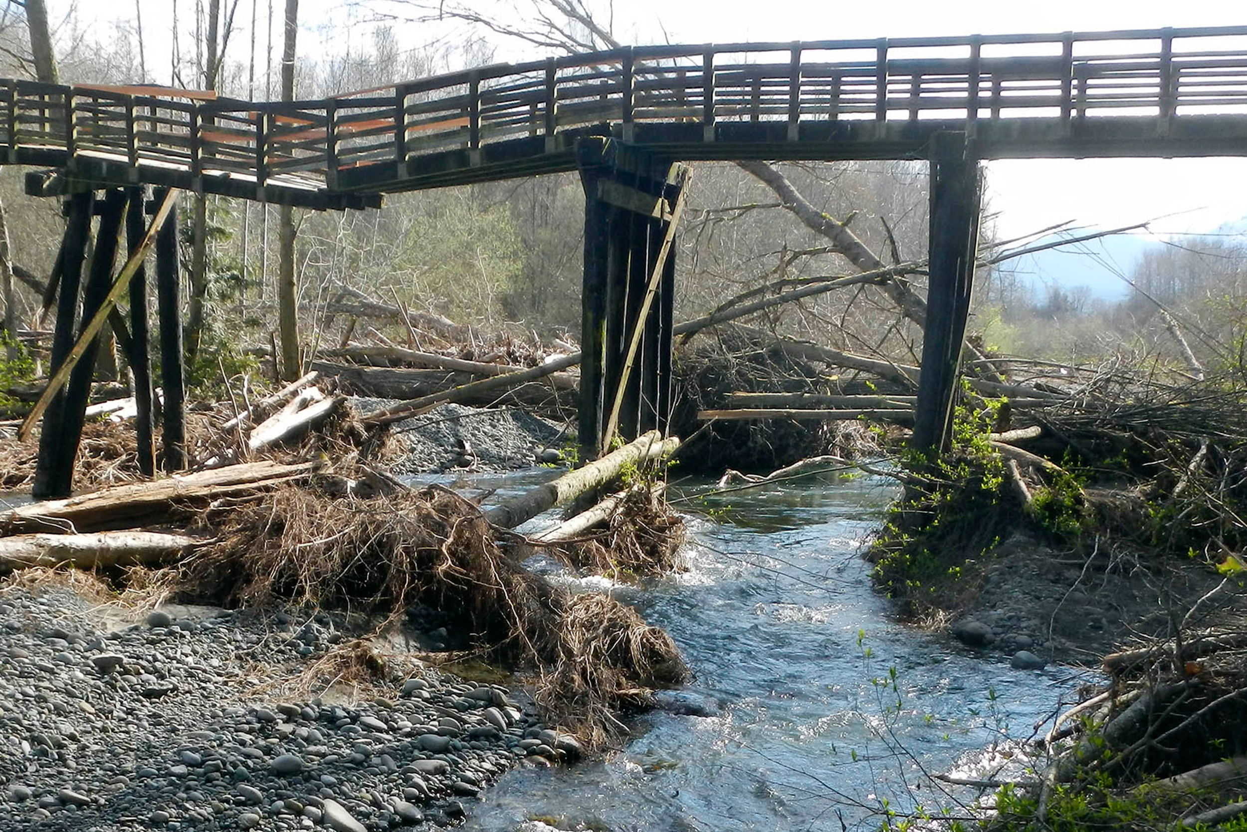
The two sections are within a half mile of the Pacific Crest Trail, are visible from the trail, and have long been part of the vision for protecting the trail and the experience of hiking it. In addition, they encompass the headwaters of Cabin Creek, an important tributary to the Yakima River and habitat for salmon, steelhead and bull trout.

The $1.1 million purchase will be funded from a special Land and Water Conservation Fund program to protect the Pacific Crest Trail.

“We are fortunate to live in a region that is home to some of our nation’s most breathtaking natural treasures,” said Rep. Dave Reichert, who represents Washington’s 8th District in Congress. “Now through the tools of the LWCF and the partnership of the U.S. Forest Service and The Nature Conservancy, we can rest assured that this area of the Okanogan-Wenatchee National Forest and the experience of hiking the Pacific Crest Trail will be preserved for recreational visitors, the wildlife that calls it home, and for future generations to enjoy.”

“The U.S. Forest Service and its partners have been working for over a decade to help consolidate the checkerboard lands along this section of the Pacific Crest National Scenic Trail,” said Megan Wargo, Director of Land Protection for the Pacific Crest Trail Association. “We are grateful to The Nature Conservancy for their work to permanently protect these two parcels, ensuring an outstanding recreational opportunity for hikers and equestrians along the PCT for generations to come. “

These sections are within an area designated by the Forest Service as the Snoqualmie Pass Adaptive Management Area, where ecological and economic factors are considered, while managing for high quality forest habitat and habitat connectivity along the Cascade Range.

“This important acquisition connects gaps in National Forest surrounding the Pacific Crest Trail and the headwaters of Cabin Creek,” said Mike Williams, Forest Supervisor of the Okanogan-Wenatchee National Forest. "It enhances the recreational access and scenic quality of the trail experience.  Additionally, the acquisition increases our ability to continue restoration efforts in the Yakima Basin."

“This is a win for the land and the people who love it, and assures long term conservation protection and public access for these sections of forest,” said Mike Stevens, the Washington state director of The Nature Conservancy.

These two sections are part of the nearly 48,000 acres the Conservancy purchased from Plum Creek for $48 million in December 2014. Proceeds from the sale will be used to repay some of the financing for the original purchase.

The Conservancy continues to manage its remaining 46,281 acres for healthy forests, clean water, wildlife habitat, and preserving public access, while seeking the best possible conservation outcomes for the land.

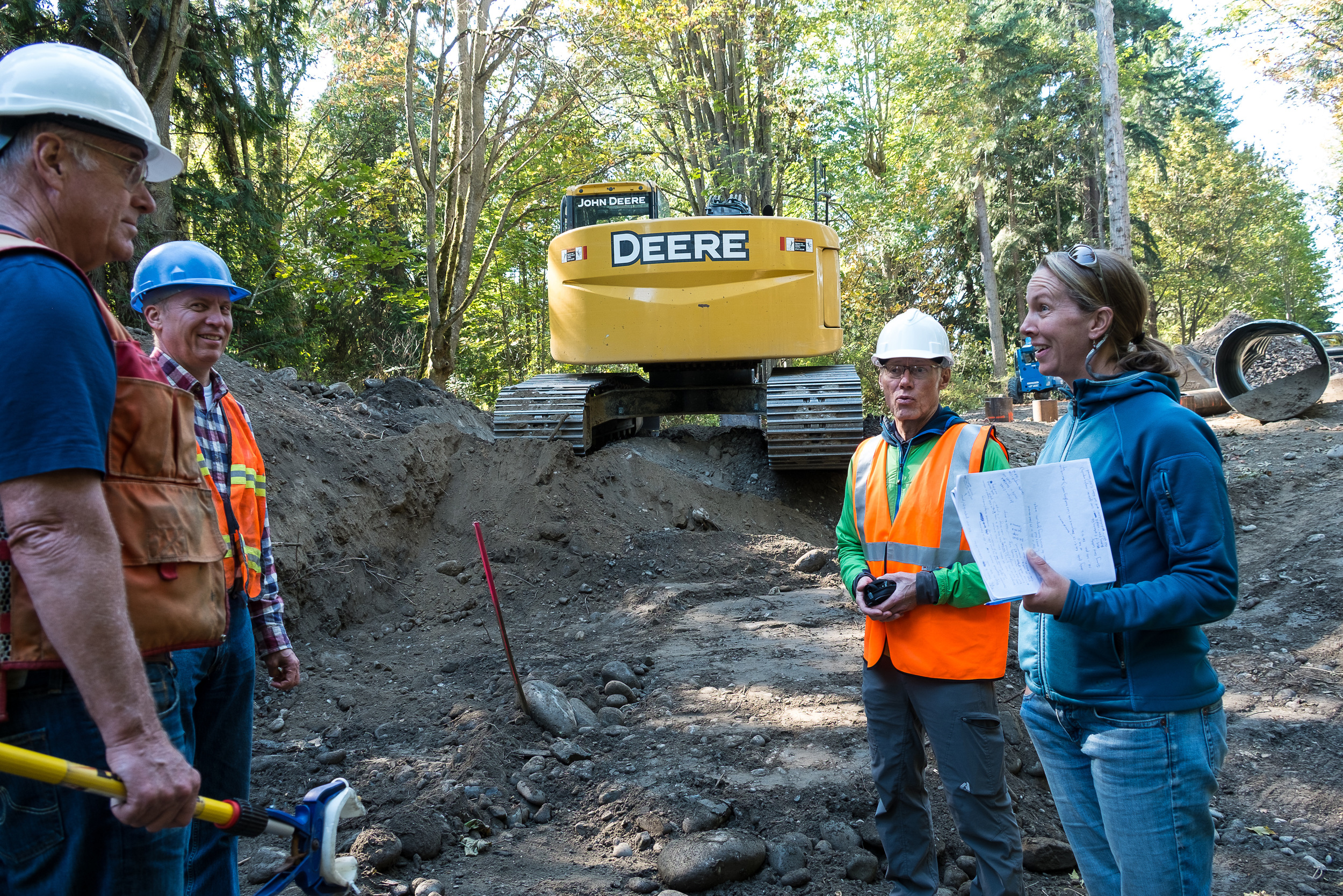
This summer, the Conservancy is planning several restoration projects:

·      Planting 66,000 trees in two locations --Douglas-fir and white pine in an area south of Easton, and ponderosa pine in an area of South Cle Elum Ridge that burned in 2014.

·      Thinning trees for forest health and fire resiliency on 380 acres on Cle Elum Ridge above Roslyn.

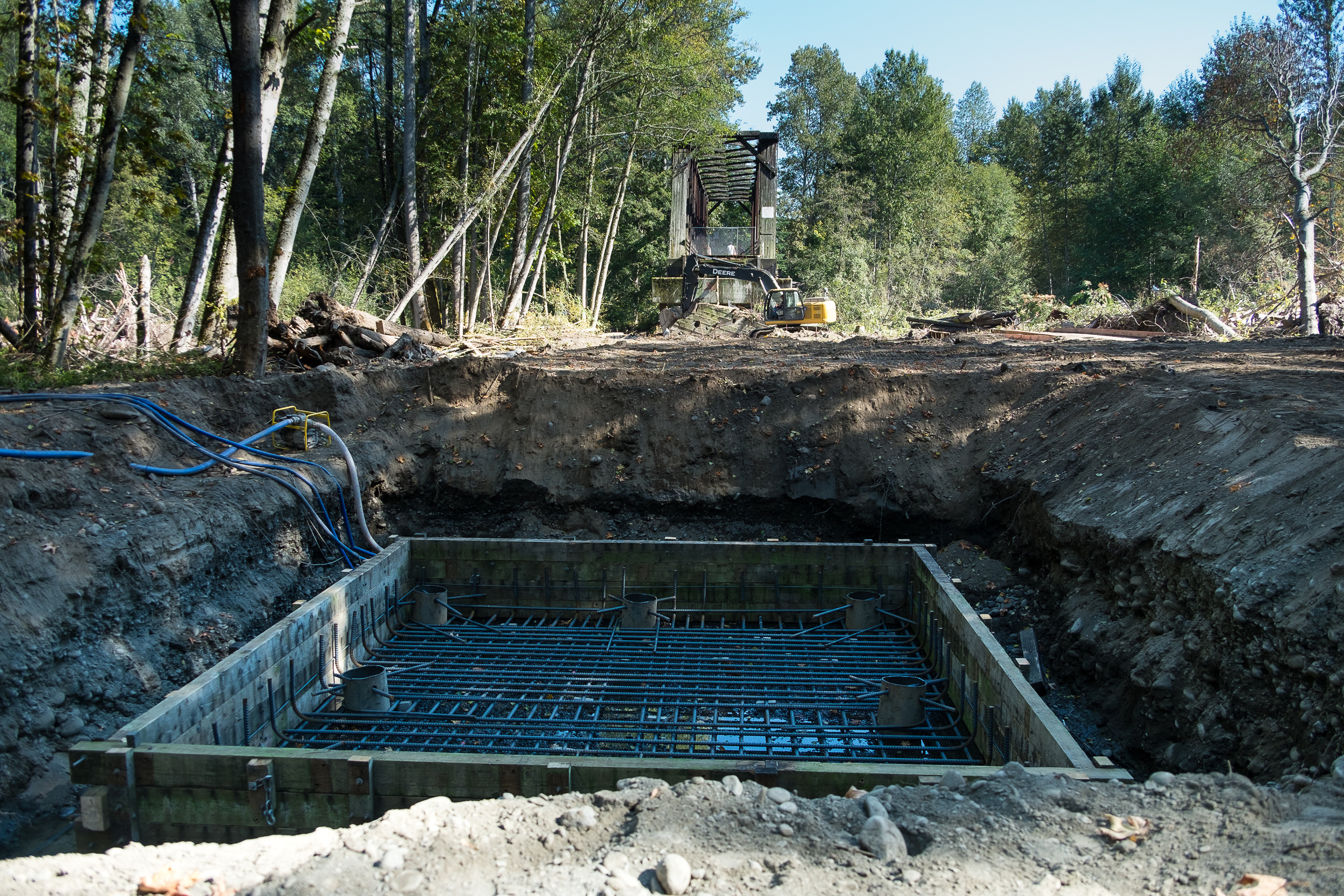
·      Stream restoration by the Yakama Nation on the North Fork of Taneum Creek.

The Conservancy is also engaged in planning a 100,000-acre cross-ownership restoration project in the Manastash-Taneum area with the U.S. Forest Service, Washington Department of Fish and Wildlife, Washington Department of Natural Resources and the Yakama Nation.

For more about these forests, please go to washingtonnature.org/centralcascades.


Contact                           

Robin Stanton
(206) 436-6274
rstanton@tnc.org


Landslide at Livingston Bay

Written and Photographed by Julie Morse, Regional Ecologist and Joelene Boyd, Stewardship Coordinator, Puget Sound Program

Geology and topography make the
landscape vulnerable, but it is the
hydrology that pulls the trigger.
— Erkan Istanbulluoglu, UW CEE

We recently had a landslide on our Livingston Bay property. No major damage was done besides damaging the trail. See photos in the slideshow above!

Floodplain Restoration along the Olympic Discovery Trail

A win-win project for people, nature and our treasured salmon

Written by Jenny Baker, Senior Restoration Manager, and Photographed by Julie Morse, Regional Ecologist

When a popular recreational trail on the Olympic Peninsula was damaged by a flood and closed last February, there were two options: either 1) fix the trail for walkers and bikers, or 2) fix the trail for walkers and bikers AND do it in a way that improved fish habitat and reduced flood risk. The choice was obvious: build a project with many positive outcomes.

The Olympic Discovery Trail is a rails-to-trails system that currently extends from Discovery Bay to Port Angeles and receives 100,000 visits per year. When a portion of the trail over the Dungeness River near Sequim was damaged, walkers and bikers were anxious to get it fixed quickly.  Randy Johnson, Habitat Program Manager with the Jamestown S’Klallam Tribe, saw a great opportunity for a win-win-win project, but he had to act fast to make sure the project could incorporate benefits to fish and flooding, and get the trail back in use. 

The damaged section was part of a 585-foot-long trestle supported by creosote pile structures every 16 feet across the floodplain.  Fill had been placed across an additional 165 feet of floodplain to meet the pile-supported trestle. These structures caused a major blockage, wracking up wood, blocking flood flows and requiring that the river be “trained” to go under a bridge.  This essentially forced the river into one place and cut it off from the floodplain. Healthy rivers move around in their floodplains, creating vital habitat for fish, storing floodwater and keeping people nearby safe. These processes had been severely limited by the trestle and fill.

Because the project had several positive outcomes and support from various stakeholders, it moved forward quickly.  Using funding from Floodplains by Design, Salmon Recovery Funding Board, Bureau of Indian Affairs Climate Adaptation fund and other sources, the design was completed, permits were obtained and construction was underway before the end of August. By early October, the old pilings had been removed and new footings to support a just a few concrete posts - 180 feet apart instead of 16 feet apart - were being constructed.

By December 2015 the reconstructed trail will be completed, allowing the river access to an additional 750-foot-wide floodplain. Recreational trail users will be able to get back on the trail. Viewing platforms will allow groups of students and birders to gather out of the way of walkers and bikers, and take in the river and its wilder inhabitants.

This year there has been a large number of pink salmon returning to the Dungeness River to spawn. When we toured the project site in early October, the river was alive with fish hovering over their redds.  As an avid biker myself, I love that there are trails like this where I can look down and see salmon spawning.

The Olympic peninsula provides critical habitat for several species of threatened salmon. The last few years have seen some big restoration projects completed, between JimmyComeLately, the Elwha River Dam removals, and now several projects along the Dungeness River and estuary.  It’s inspiring to see the impact these big projects are having on restoring salmon habitat.