By Jamie Robertson, Conservation Geographer, and Heather Cole, Puget Sound Community Relations Manager
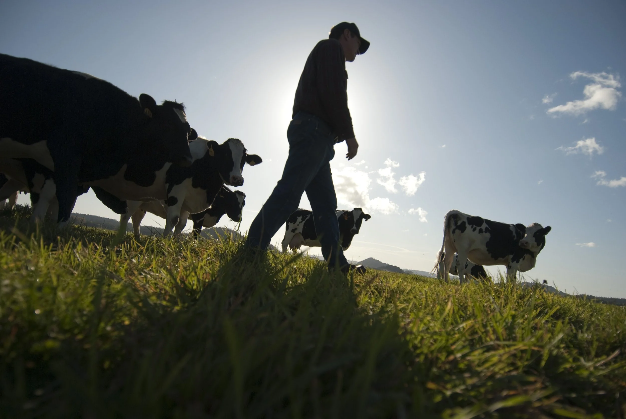
Climate change is already impacting people and nature in the Puget Sound region, and we know those changes have only just begun. Agriculture is particularly at risk from increased flooding as higher intensity rain events become more common and sea-level rise enhances storm surge flooding in coastal farmlands.
The Snohomish Conservation District recently partnered with the University of Washington Climate Impacts Group and The Nature Conservancy to model and map various historic and future flood scenarios across the Snohomish and Stillaguamish watersheds.
Those data are now available in a webmap on CoastalResilience.org. And click here to read a blog post with more information about the webmap itself.
We caught up with Cindy Dittbrenner, Natural Resource Program Manager for the Snohomish Conservation District, to discuss why these data and webmap are so important for farmers in Snohomish County.
The Nature Conservancy: How will increased flood risk affect lowland farmers? Will flooding become more prevalent or severe in the future?
Cindy: Farmers in the lowlands often have water on their mind. Will there be enough in the growing season? Will there be too much in winter and spring months? Increased flooding may disrupt this delicate balance for some farmers in Snohomish County. Climate models and our webmap tool specifically, show more intense and frequent floods happening into the future. In some locations, increased flooding could damage crops, threaten livestock, damage infrastructure (fences, buildings, dikes, etc.) and cause the need for expensive debris clean up.
TNC: Now that these new flood data are complete and publicly viewable online, how will farmers use them to make decisions affecting their farms?
Cindy: We really hope that farmers will find this tool useful and making the tool user-friendly was the key. We have a Steering Committee of eleven local farmers that worked with the design team of The Nature Conservancy and the University of Washington Climate Impacts Group to make sure the webmap was going to display the type of information that farmers need.
Using this tool, farmers can zoom into their farm and compare current flood water depths with predictions for 30 and 60 years out. As they plan for the future or start thinking about passing farms onto the next generation, this information can help them navigate decisions about their farm management, what they are producing, and what types of infrastructure they want to invest in. Diking and drainage districts may also find this information valuable in predicting when and how often dikes will overtop and what kind of pumping needs they will have in the future.
TNC: What other tools or strategies does the Agriculture Resilience plan entail to support a viable agriculture community and resilient floodplains for the future?
Cindy: We asked local farmers what challenges they are facing and what information they need to plan for the future. We then embarked on several modeling and data analysis efforts in addition to the flood modeling that would help them plan for future risk. We are working with Cardno to look at the impact of sea level rise on groundwater levels and saltwater intrusion as well as rates of farmland subsidence (sinking). We also worked with Washington State University to create an online tool allowing farmers to look at predictions for temperature, growing season length, and precipitation changes.
We don’t plan on stopping there, however. We will work with our Steering Committee of farmers to prioritize larger project needs with the goal of maintaining agricultural viability in our county. These may include improvements to diking infrastructure, drainage, bank protection and water storage. Once we’ve established these priorities, we look forward to working together with the salmon recovery community to balance these multiple priorities in the floodplain. We see the identification of farming needs as a critical step in developing a collaborative approach to floodplain planning – one that will build positive relationships between our many natural resource interests. For this reason, we’ve been successful at bringing in a large diversity of funding sources and partners including National Estuary Program, Estuary and Salmon Recovery Program, National Oceanic and Atmospheric Administration, Stillaguamish River Lead Entity, University of Washington Climate Impacts Group, Washington State University, King Conservation District, PCC Farmland Trust, Forterra, Snohomish County, and The Nature Conservancy.
Explore Our Floodplains