by Grace Lee Kang

Illustration by Erica Simek Sloniker \ The Nature Conservancy.
Drones have emerged as a groundbreaking tool extending our reach beyond the limits of human exploration. While many are familiar with seeing the possibilities in adventure photography or package delivery, the use of drones in conservation has become increasingly creative for those both out in the field and in the lab.
As high quality drones become ever more available and affordable, these versatile remote-controlled aerial vehicles are helping The Nature Conservancy (TNC) and its partners gain data and insights that assist scientists and practitioners in making on-the-ground conservation decisions about how land is managed. Unlocking a new era of innovation, drones enable us to monitor, study, and safeguard ecosystems with unprecedented precision. Below we explore the diverse ways drone technology has amplified our work in partnership with fellow scientists, practitioners, and partner organizations.
Sampling New Heights in the Tree Canopy
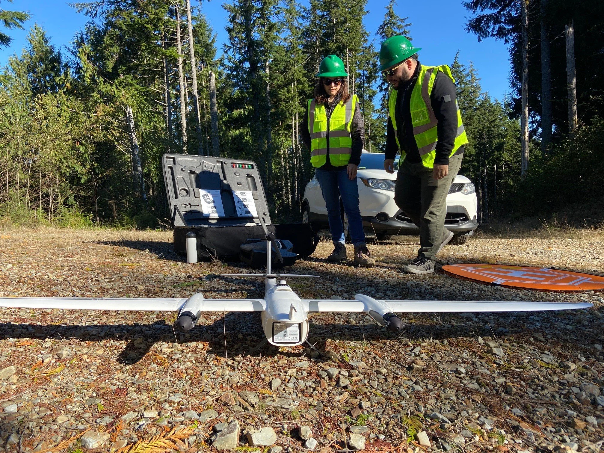
Beyond advanced imagery and the speed to quickly cover immense distances, drones can also be equipped with accessories for creative conservation-specific uses like the recent research at Ellsworth Creek Preserve. Through a project funded by the NW Climate Adaptation Center, the Ramirez Lab at Reed College has been working in partnership with TNC to understand how restoration work is influencing forest and tree resilience to an increase in the stressors like fire and drought that we’re seeing with climate change.

From left to right: Aaron Ramirez (Associate Professor of Biology and Environmental Studies at Reed College) and Kyle Smith (Director of Forest Management at The Nature Conservancy Washington) at Ellsworth Creek Preserve. Photo: Michael Case \ The Nature Conservancy.

Drone with a DeLeaves sampling device in front of the Ramirez Lab equipment trailer at Ellsworth Creek Preserve. Photo. Aaron Ramirez.
Forest managers in search of a more detailed glimpse of tree health to evaluate restoration efforts need insights into the physiological responses of trees, specifically how restoration affects how the trees are using water. Aaron Ramirez, associate professor of Biology and Environmental Studies at Reed College, considers a tree’s water movement system critical for its resilience. “When you think of humans, one of the main risk factors for us is our heart health because our vascular system is critical to everything that we do physiologically. Think of this as cardiology for trees. The vascular health of trees is crucial to everything that they’re doing and it’s one of the first places that problems show up, which gives us an earlier indicator than if we were to only measure growth or other metrics,” says Ramirez.
Yet one of the challenges in understanding the physiological responses of trees — their water use, or “vascular health” as Ramirez puts it—is collecting tissue samples. Historically, researchers might obtain samples by shooting down branches with shotguns or literally climbing the trees — a formidable obstacle with trees that can soar more than 300 feet high in Pacific Northwest forests.
Ellsworth Creek Preserve was the Ramirez Lab’s first test case of using a drone to aid in sample collection. By equipping a drone with a DeLeaves sampling device — an arcade-like claw with built-in rotary saw — identifying, collecting, and delivering branches safely to the ground suddenly became a much more efficient operation.
““Our trees in the Pacific Northwest are some of the largest in the world and often in rugged landscapes that might otherwise be inaccessible — that’s where the drones come in. They allow us to quickly and efficiently sample the tissue we need, opening up a whole world of opportunity for assessing the trees’ physiological health.””
Mapping the Forest’s Microclimate
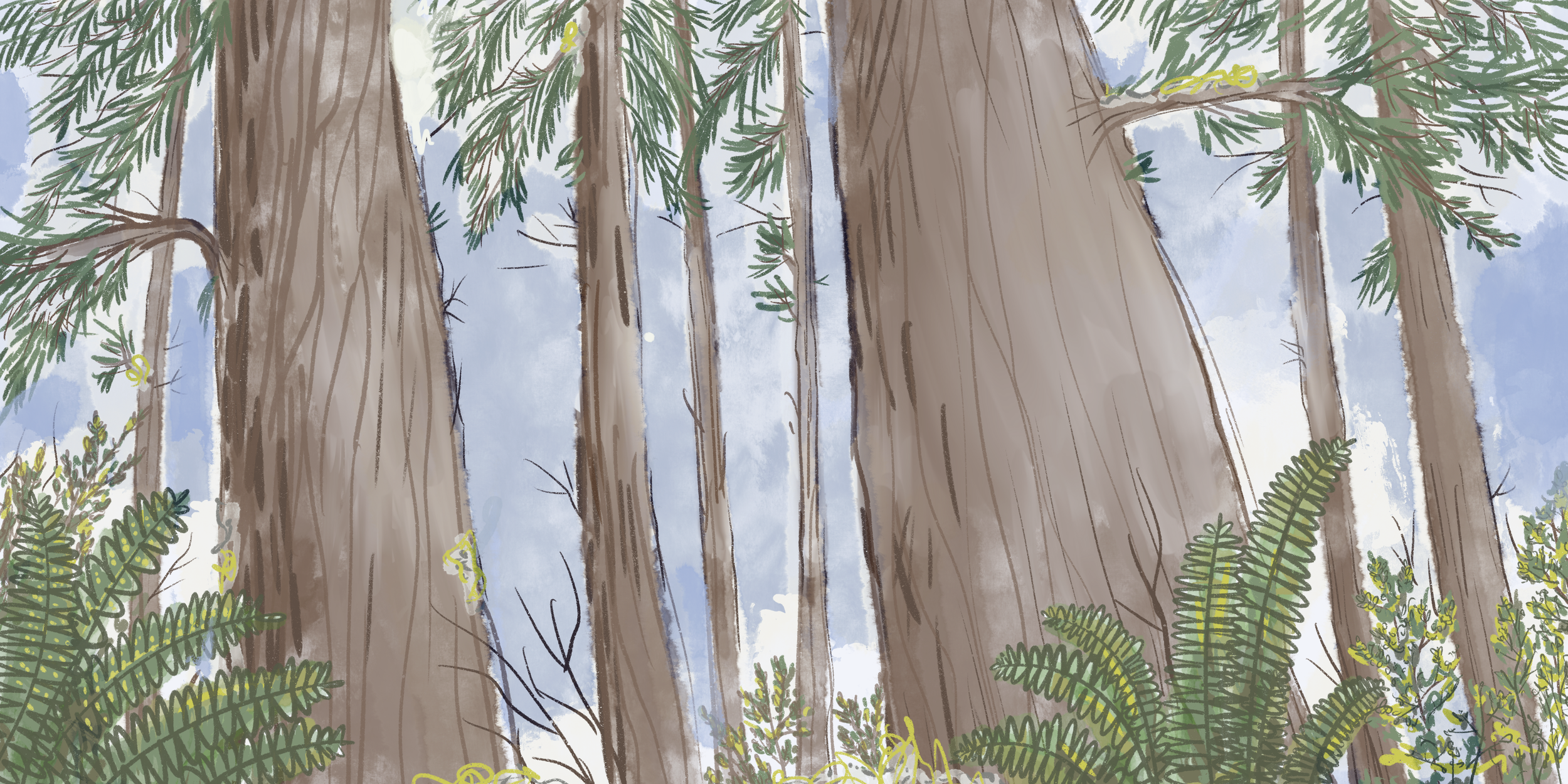
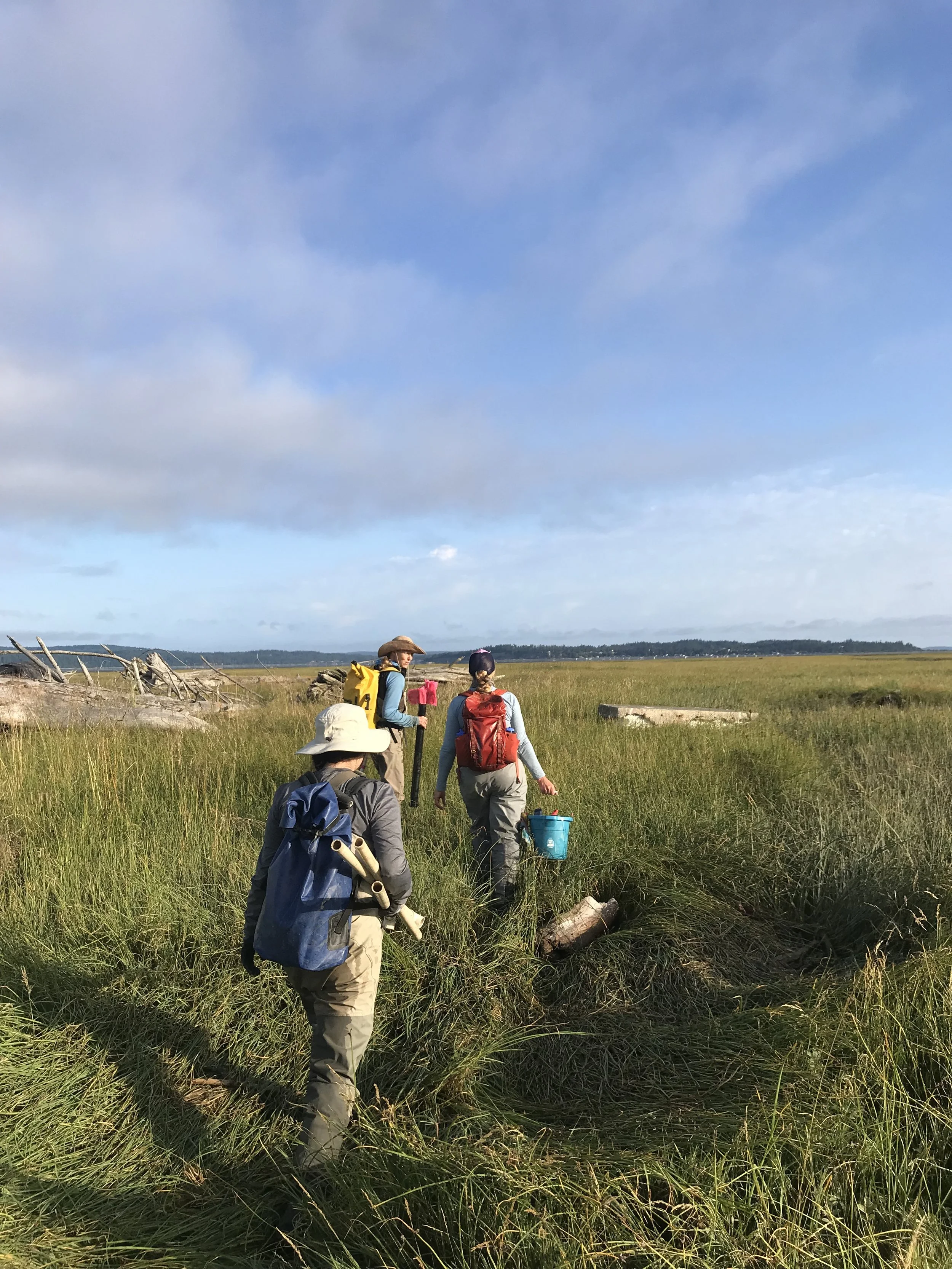
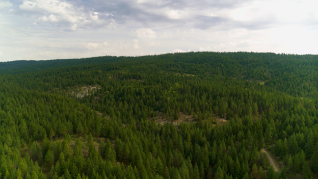
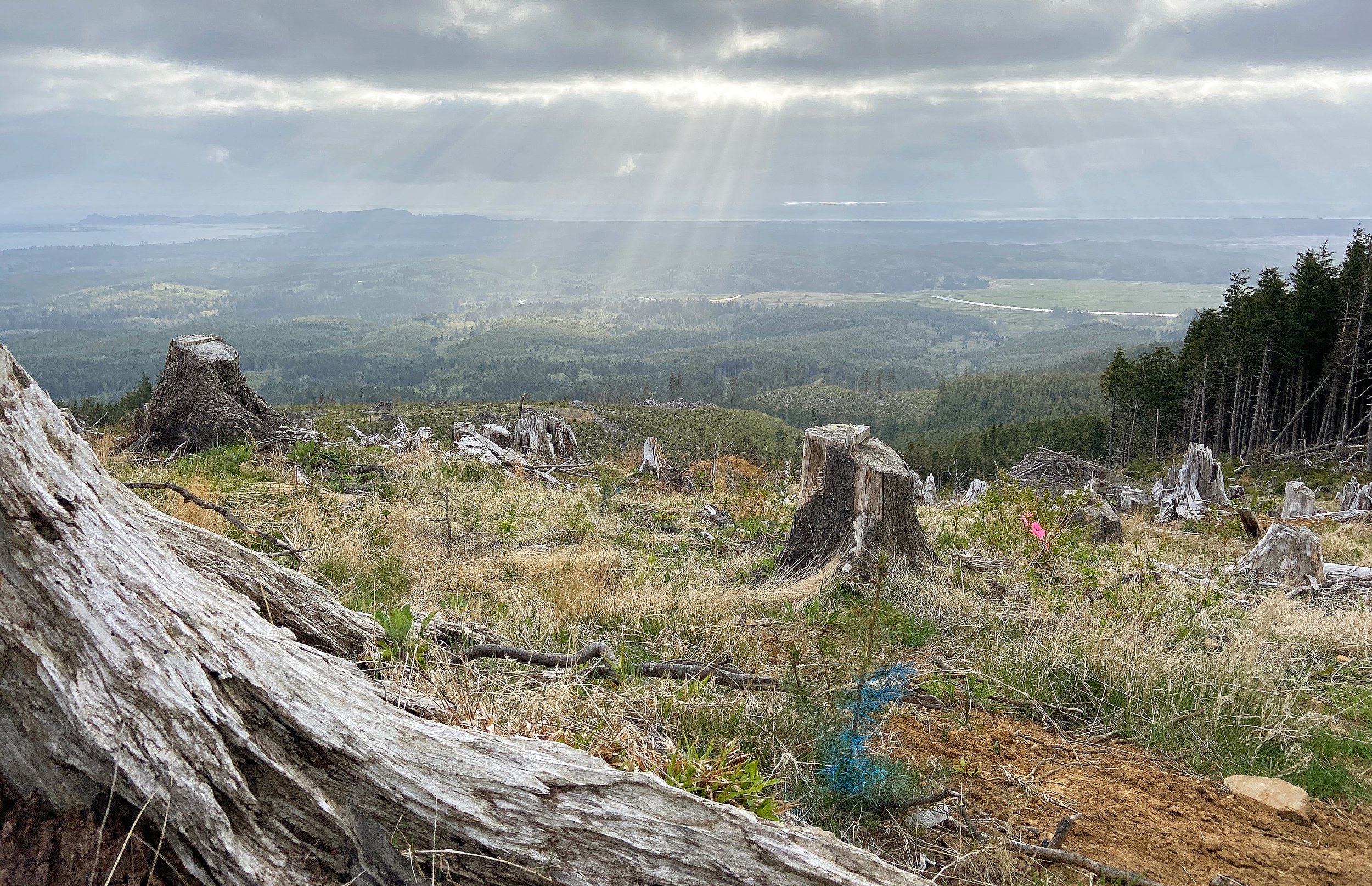
As a watershed spanning 7,600 acres, Ellsworth Creek Preserve provides rich opportunities for research, from the highest reaches of the tree canopy where Professor Ramirez collected tissue samples all the way down to the soil in the ground.

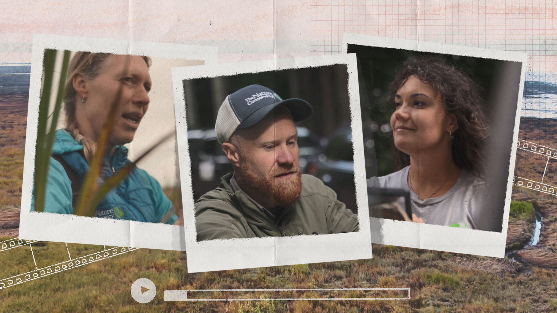
From left to right: Dr. Aji John (University of Washington Postdoctoral Researcher), Dr. Michael Case (Nature Conservancy Forest Ecologist), and Mariana Gonzalez (Nature Conservancy Storytelling and Content Team Coordinator). Photo: The Nature Conservancy \ Michael Case.
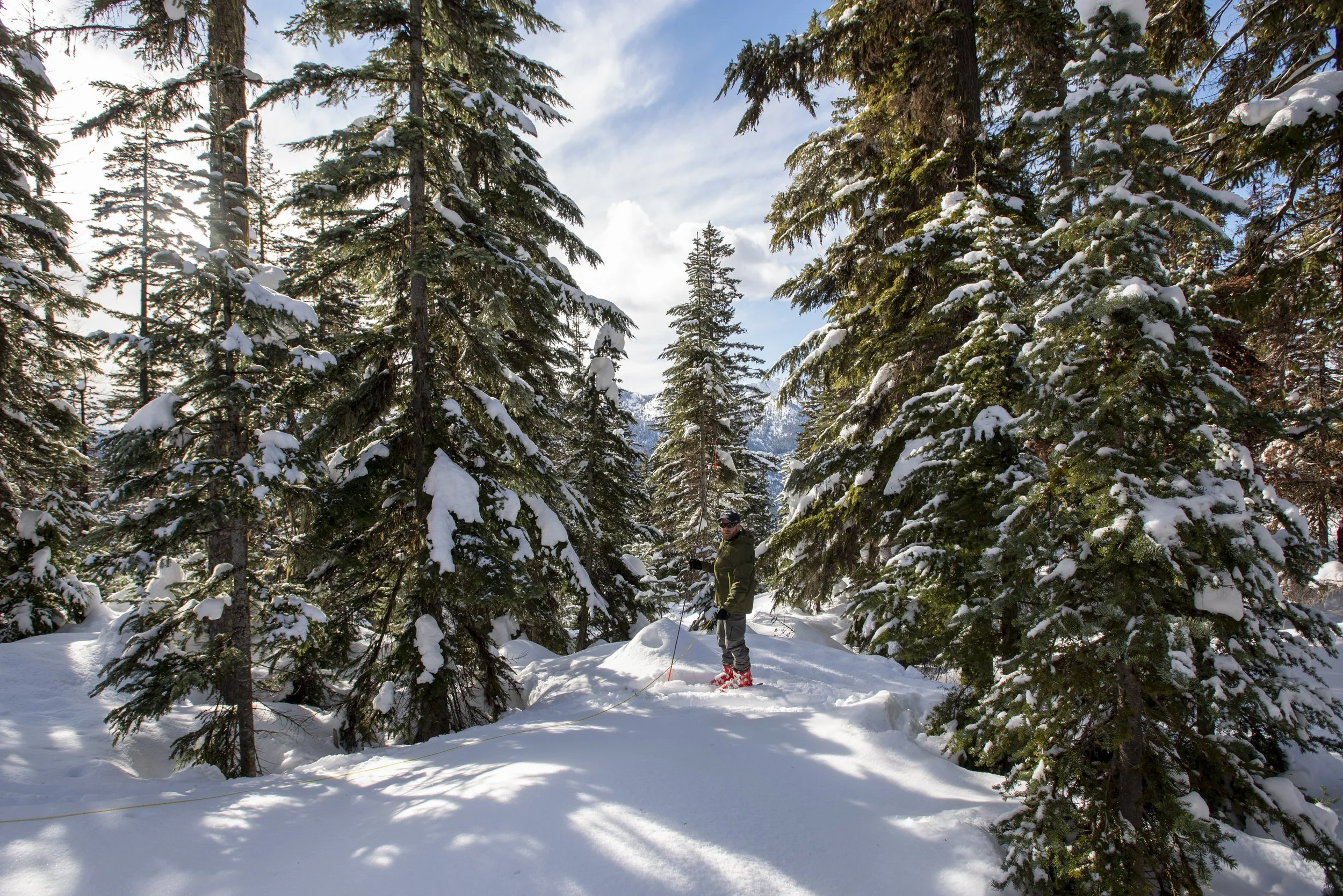
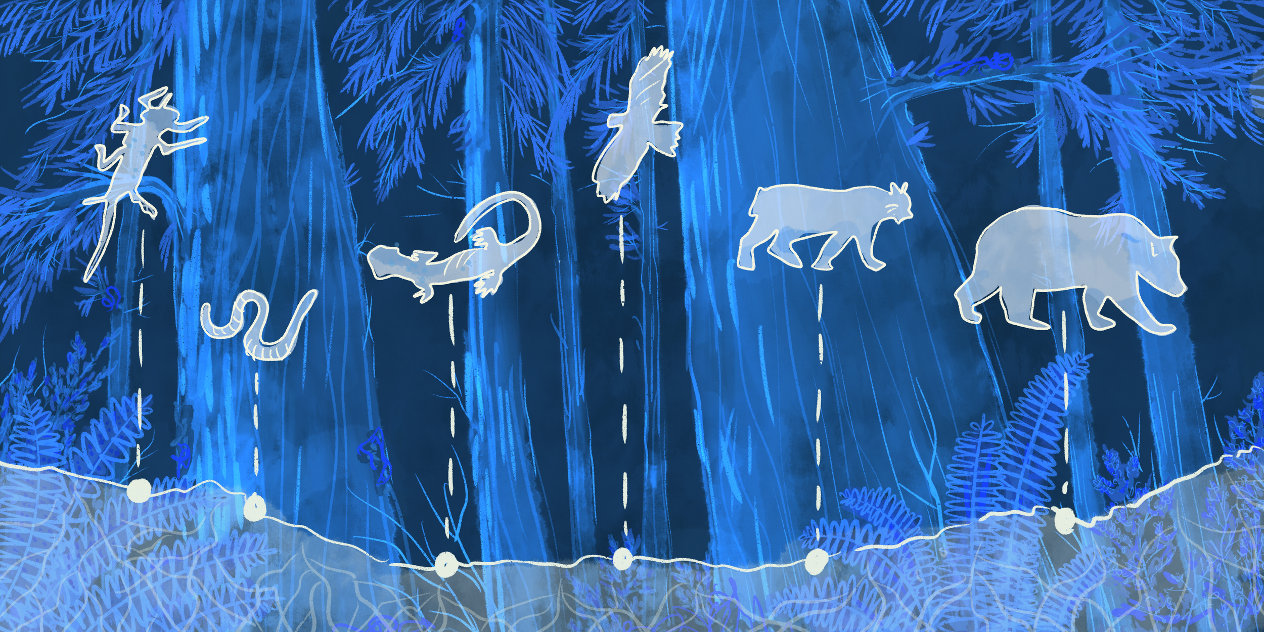
For Aji John, postdoctoral researcher at the University of Washington (UW), it has been rewarding to see how academic research can be realized in a conservation setting. Working alongside TNC Forest Ecologist Dr. Michael Case and Quantitative Ecologist Dr. Ailene Ettinger, John has been studying forest microclimates for the past seven years. When on a single hillside slope, you might find different environmental conditions on either side, capturing their nuances is an intensive task. With the help of drones and sensors on the ground, they’ve been able to investigate the role of overstory, the vegetation between the forest floor and free air, and how it responds to climate extremes — an ambitious undertaking given its sheer scale.

Fixed wing drone used in Ellsworth Creek Preserve research. Emily Ciesielski and Gabe Medina are shown from AgEagle Aerial Systems. Photo: Michael Case.
Looking to survey nearly 400 acres, the team partnered with AgEagle, a drone provider and DotMote Labs, a climate station provider. Together, they used a state-of-the-art fixed-wing drone capable of flying long distances and carrying sensors to directly capture data around the understory climate like temperature, humidity, and more. John says, “With sophisticated drone sensors and imagery, we could get a sense of how stressed the vegetation is while also looking at spatial patterns, like whether south-facing slopes are more exposed and at risk of desiccation (drying out) — down to centimeter by centimeter resolution.”
The mapping project provided a wealth of data to consider, such as how selectively removing trees to different extents influences the health of a forest and the temperature within it. Ultimately the findings will help further inform how these important ecosystems can be managed and shape restoration practices as extreme climate events, like heat domes, become more common.
Charting Aerial Insights Through Drone Monitoring
At TNC Washington’s Port Susan Bay Preserve, we explored explosives as a way to create deep, interconnected estuary channels to improve the wildlife habitat. But instead of traditional heavy machinery, we sought inspiration from an unconventional source: dynamite.

Dynamite set up at Port Susan Bay Preserve. Photos: Amber Parmenter \ The Nature Conservancy (left) and Dan Elefant \ ESA Engineers (all others).
To ensure the success and safety of a controlled test blast using dynamite, we collaborated with local restoration and community partners, as well as blasting experts, to incorporate the use of drones — an invaluable tool to help monitor the area throughout the project and influence the design of the blast plan itself.

Drone photo monitoring the site prior to the test blast at Port Susan Bay. Photo: Brent Meins, Chief Engineer \ Detecht, LLC.
Unlike helicopters, drones can get close enough to the blast to take photos that paint a complete picture of the area and its geographical features. They also enhance safety measures by monitoring the site to ensure it’s clear and free of people within the danger zone of the blasting radius..

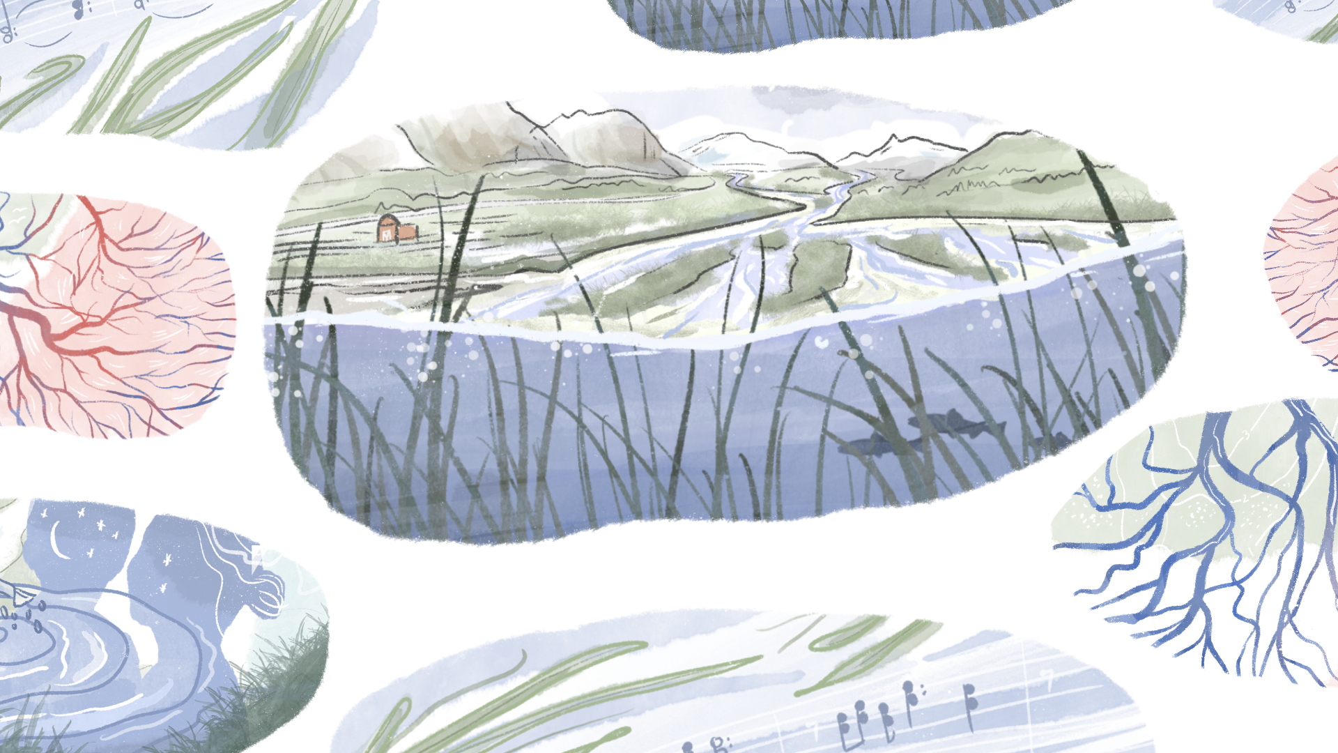
Simulation of the Port Susan Bay blast on August, 11, 2022. Illustration by Erica Simek Sloniker \ The Nature Conservancy.
When conducting a test blast, aerial photos taken by drones were able to provide comprehensive sediment, channel, and elevational measurements. Those measurements, along with drones monitoring the area before and after the blast, enabled us to develop and learn from a high-quality model of what happened and where — from understanding how the blast moved material to whether it achieved design specifications and what we could expect from future blasts.
Within Port Susan Bay, the controlled test blasting helped answer key questions about what tools and methods might help restore the marsh surface with minimal impact for the future.
Reimagining Possibilities with Drones
Whether it’s monitoring key areas for restoration or facilitating tree health assessments to influence land management decisions, drone-based technology furthers our conservation work in new ways every day. Beyond Washington, TNC works alongside partners to use drones for other conservation work, whether it’s mapping the kelp forests of Northern California or developing Blue Carbon Explorer, a new tool identifying mangrove and seagrass blue carbon around the world.
As scientists, practitioners and organizations continue to experiment and learn with drones, we’re excited by the potential for even more ambitious and innovative impact ahead.