by Dr. Emily Howe, Ecologist of Aquatic Environments, TNC Washington
It hasn’t snowed much this year in the Cascades, and I am wishing I had cameras out at the field sites to capture this year’s dismal snowpack, which is hovering around 50-70% of normal making everyone nervous about the summer to come. The last time we had an El Niño-driven snow drought was 2015, when the notorious “blob”, a mass of warm water, set up in the Pacific Ocean. This year is shaping up to be uncannily similar, following record high ocean temperatures this past summer.
New Research Brings Hope to an Increase in Depth and Duration of Snowpack in the Cascades
For the past five years, I have been collaborating with Dr. Susan Dickerson-Lange, Dr. Jessica Lundquist, Dr. Rolph Gersonde, and PhD student Cassie Lumbrazo to identify how forests interact with snowpack in Washington’s Cascades Mountain range. We focused on the drier eastern slopes, developing forest restoration strategies that both protect water supplies and reduce wildfire risk.

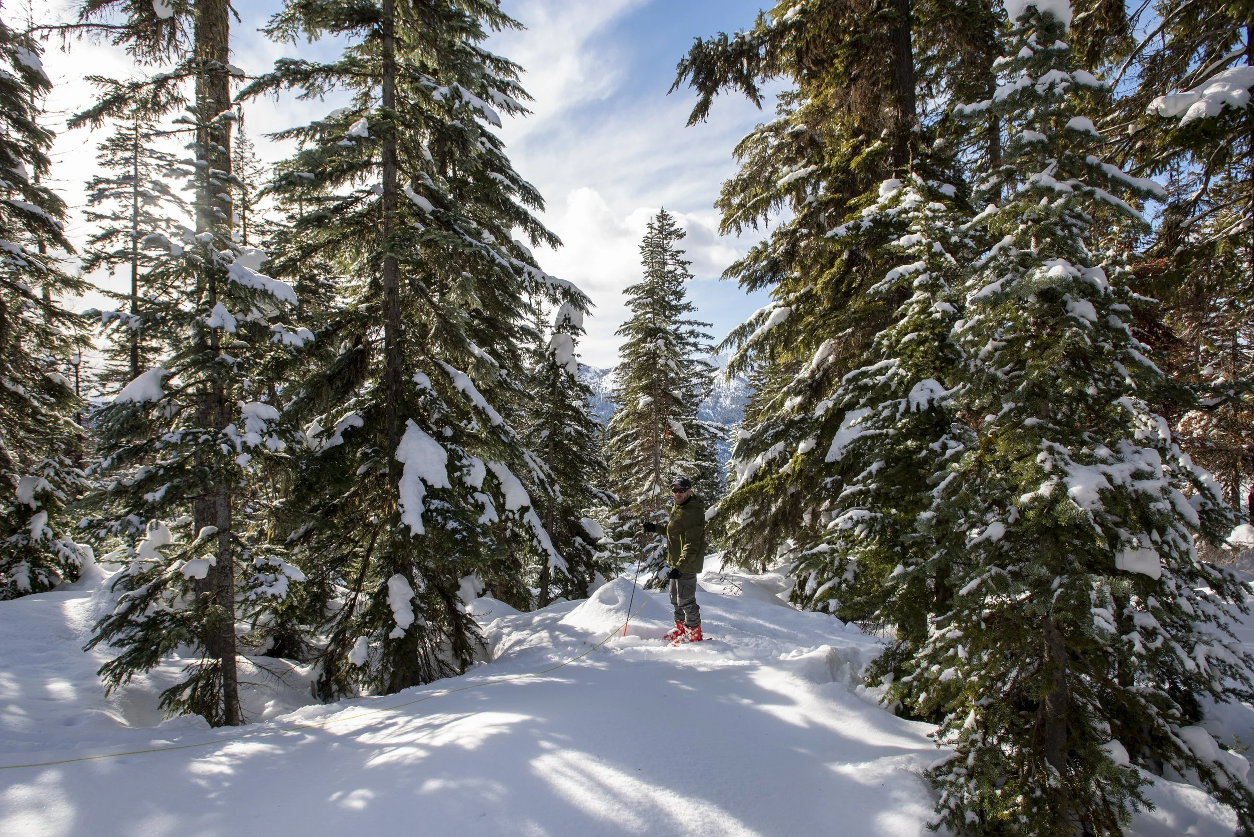
Dr. Cassie Lumbrazo (left) and Dr. Emily Howe (right) unload snow depth measuring equipment on Cle Elum Ridge. © Mark Stone / University of Washington.
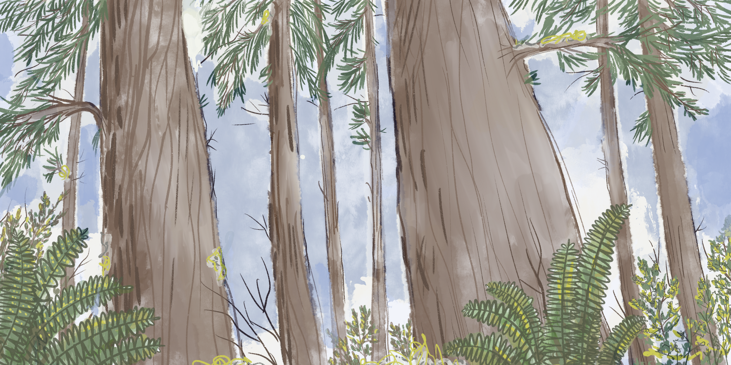
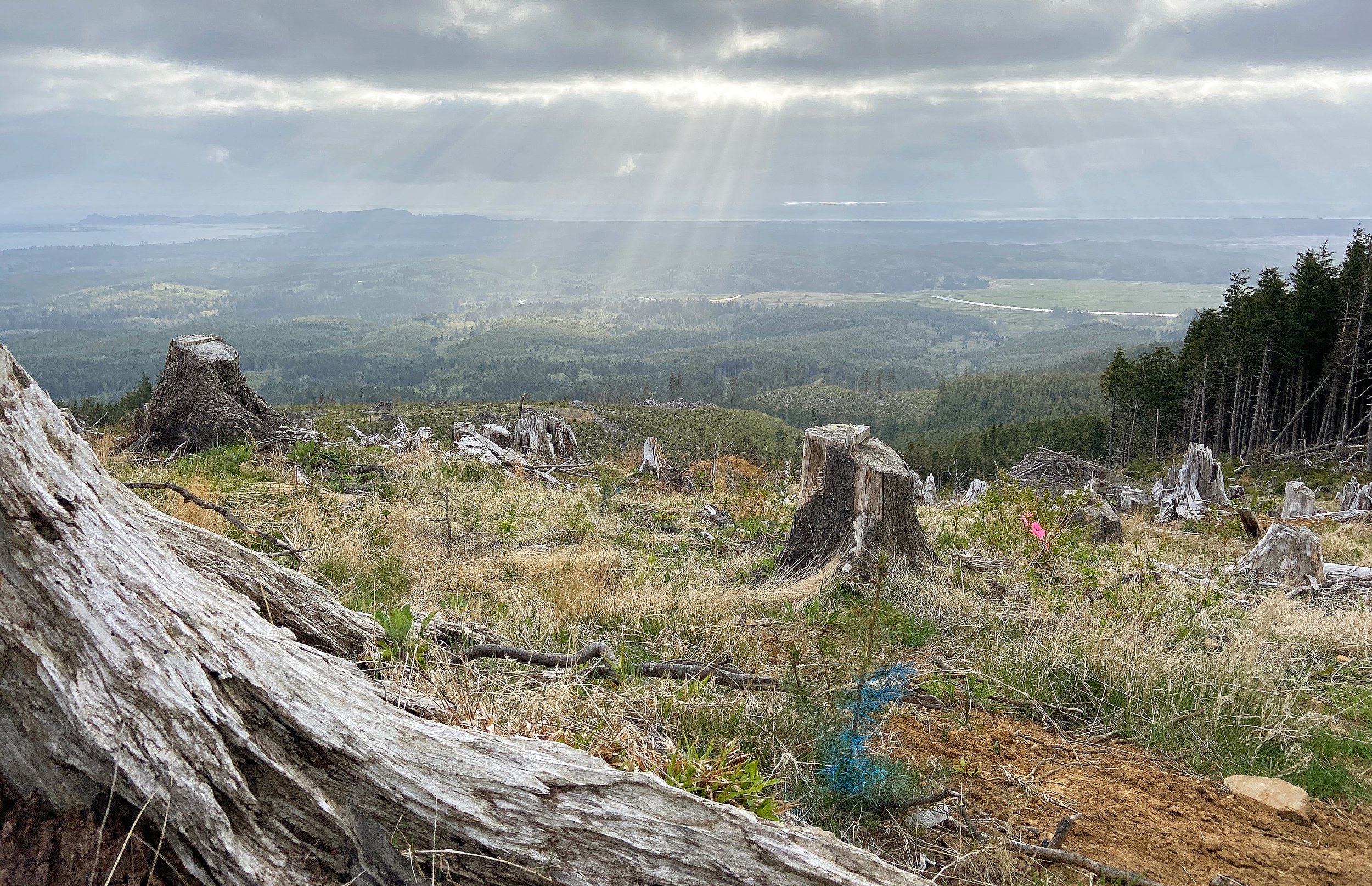
In these areas, a century’s worth of logging and fire suppression have shifted the forest structure towards younger, more densely-spaced trees. These trees are less resilient to fire, thirstier, and more susceptible to drought than the mature, pre-colonial old-growth forests that once stood there. The effect of this landscape degradation on water supplies is further exacerbated by climate change. As a result, the landscape has effectively lost water over time.

Dr. Emily Howe in a research site with a forest tree canopy gap on Cle Elum Ridge. © Mark Stone / University of Washington.
Our research shows that snowpack response to forest structure, the vertical and horizontal differences in a forest, varies considerably across the spine of the Cascade Mountain crest. Promisingly, there are headwater areas up river near the source of a stream of river where opening up gaps in the forest canopy increases the depth and duration of snowpack. These gaps are similar to those found in old growth forests, indicating that we can restore lost water to a landscape if we can return to a more natural forest structure.
That’s promising news in Washington’s dry-side rivers, which will need every drop of water possible for fish, wildlife, people, and agriculture in the years to come.
Tracking Snow through Time
Together with my team, we have processed over 70,000 timelapse snow depth images to answer the study’s key question: Do forest restoration strategies designed to improve fire resilience, such as tree thinning, also promote water resilience?
Processing timelapse snow depth images is slow, careful work. One frame at a time, I zoom into snow pole images, count down the duct tape measurement ticks from the top until I reach snow level, then enter the snow depth into the team database.
Video: A timelapse of snow accumulation and melt season. © Dr. Cassie Lumbrazo / Snow Spotters project.
No, it’s not adventurous. No, it’s not technologically slick. Yes, it’s effective. Yes, it takes forever. And yes, we have tried other ways.
In search of efficiency, we tried out a promising new machine learning method that automatically calibrates snow depth to the number of orange pixels in an image. The idea being that if you paint a snow measurement pole orange, the number of exposed orange pixels will decrease as snow depth increases.
The algorithm worked well.
We got excited.
We put up orange poles in all our plots.
The bears flattened them all down. Every single one of them. They left the white ones, and the painstaking quantification approach that goes with them, quite alone.
Field ecology is humbling that way.
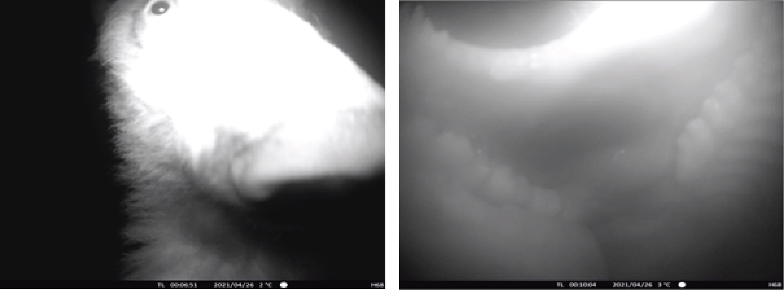
Black bear as he peers into a research camera on Cle Elum Ridge (left), and inside the bear's mouth (right) as he chomps down on the camera.
But if I’m being honest, I like the analogue approach. I like watching the bears wander across the camera frames, and I like slowing down to a pace where I can feel winter’s grip on the forest—a pace where the trees and I welcome the season’s first snowstorm, wait out the cold under blankets, and emerge renewed with the spring melt. This slow process keys me into questions I hadn’t thought yet to ask, but that the forest offers up as suggestions.
Setting Up Shop

Example of an open tree canopy (or gap) plot and a forested plot on a south facing slope. © Erica Sloniker / TNC.
To answer this study’s key question of whether forest restoration strategies for fire resilience can also match the needs for water resilience, we had to start simply—measuring snowpack depth and duration in pairs of forested and open tree canopy sites across the Cascades.
We built our study design around Dr. Susan Dickerson-Lange and Dr. Jessica Lundquist’s decision-tree framework, which hypothesizes a hierarchy of forest-snow processes that can be used to predict whether gaps in the tree canopy increase or decrease the depth and duration of snowpack.
The resulting predictive model identifies five major forest-snow classes across the American West and is based on physically measurable elements such as wind, temperature, and solar radiation.

Maps of hypothesized forest-snow classes across the west and of field research sites in the Cascade Mountain range.
For this project, we chose six sites that stretch across the Cascade Crest. According to the model, these sites represent a gradient of climate conditions from the warmer, wetter slopes of the western Cascades, to the drier, sunnier slopes on the eastern flanks. The gradient allows us to identify nuanced differences in the relationship between forests and snow; nuances that in turn allow us to identify locally-appropriate management actions.

A view from a research location to check timelapse camera status and measure snowpack near Cle Elum, Washington. © Hannah Letinich.
The eastern Cascade flanks are the primary focus on our study because they represent a tricky-to-predict transitional climate zone for which there existed no observational data to validate the forest-snow process model predictions. These slopes also experience high wildfire risk, and are therefore prioritized for forest thinning treatments that return the forests to their pre-colonial, fire-adapted condition. But considering that snowpack generates more than 75% of the water source for the state’s “dry side” rivers, it was important to understand whether these forest treatments were likely to further exacerbate water scarcity, or whether a return to pre-colonial conditions could yield more water storage than the landscape we experience today.
Figuring things out
Snowpack tells a story about the likely health of nearby forests and rivers, and subsequently, the people, fish, and wildlife living on these resources. We understand this story through data we collect, with measurements of depth and duration narrating a history of daily accumulation and melt cycles- each cycle a conversational interplay between wind, heat, snow, and trees.

Dr. Emily Howe monitors a research site in a forest tree canopy gap on Cle Elum Ridge. © Mark Stone / University of Washington.
To read the snowpack’s story there are a couple of elements to watch for in the data.
First, we look for the magnitude of snow depth. When the snow depth increases, the magnitude of depth and water storage potential goes up. So, the lines in the graphs below show snow storage magnitude rising over the course of the winter, then falling as the snow melts in the spring. The wiggles in the lines indicate periods of snowfall (goes up), compression (goes down a little), and melting (goes down at varying rates). The steeper the line in either direction, the faster the rate of snow accumulation or melt.

Snow depth chart showing snow storage magnitude, rate of accumulation or melt, peak snow depth ratio, and snow disappearance date.
At the end of the melt season, we look to see whether the line representing the open tree canopy site hits zero centimeters of snow depth at the same time as the line representing the forested site. The difference in timing is what we term change in snow disappearance date (ΔSDD). This is where we measure snowpack duration.
The final component observed is the difference in snowpack depth between the open canopy and forested sites when seasonal snowpack is deepest. This is the peak snow depth ratio, which quantifies the relative difference in snowpack depth between plots, and allows us to compare snowpack dynamics across locations in the Cascades.
Differences in these metrics between gap and canopy sites give clues about the dominant mechanisms driving patterns in snowpack depth and duration in different locations, and allow us to understand which forest management actions are appropriate to deploy.
A Tangle of results reflect the texture of the landscape
Dr. Susan Dickerson-Lange often jokes that biology messes everything up. She’s a hydrologist, with a specialty in snow sciences and a penchant for tracking down the laws of physics as they apply to this living world. She’s excellent, and clear headed. I am a fish ecologist, quite comfortable with the mess of spaghetti food web diagrams and animal behavior, but terrible at linear thinking. This intersection of trees and snow mixes the mess of biology with the clean lines of physics.
And the data show it.

View of the Cascade Mountains from Cle Elum Ridge. © Mark Stone / University of Washington.
On the west side—where Pacific Northeasterners fondly call snow “Cascade Cement”—results show opening up gaps in the tree canopy can increase snow depth on the forest floor by 1.5 to 1.8x, with snow lasting 10 to 17 days longer in the gap. That’s good news for westside rivers and cold water-loving species like salmon because there is a management action that can be taken to increase snowpack depth and duration in the upper watersheds.
In the Central Cascades—where the warm, moist maritime air converges with the cold fronts of the Columbia Basin, snowpack grows deep—nearly twice the depth of the western and eastern slopes. In these areas, gap sites exhibit a snowpack 1-1.5x as deep as forested sites. However, the higher accumulation rate of snowpack depth in gap sites is balanced by a higher rate of snow melt in spring. As a result, there is a minimal duration effect on the snowpack that can be derived from tree thinning.
In the Eastern Cascades—where the air is cold from the Columbia Basin, but elevations are lower and overall precipitation is less, snowpack builds up 1.3-1.5x deeper on the forest floor in gap sites compared to forested sites. The overall magnitude of snow depth is less than the Central Cascades, so implications for water storage are both more critical, and less substantial. Like the central Cascades, we observed a balanced effect between snow accumulation and melt rates, such that while more snow built up in gap sites, they melted out with similar timing (3-day difference) to forested sites.

Snow depth and duration results for the six research sites in this study. © Erica Sloniker / TNC.
Across these three zones, the data suggest that opening canopy gaps can increase total snow storage on the landscape. However, to gain a duration effect, forest management should be paired with other established restoration strategies to hold water on the landscape longer. These restoration strategies could include floodplain reconnection, wet meadow restoration, and reversal of stream incision. But we also wondered whether we could acheive increased snowpack duration effects by placing forest thinning treatments on shady, north-facing slopes.
Taking the Study to Cle Elum Ridge
To drill into this question, we took the study to Cle Elum Ridge, part of TNC’s 48,000-acre forest protection project at the headwaters of the Yakima Basin in the Central Cascades. Using the same experimental design described earlier, we compared forest-snow interactions between north and south-facing slopes. On the north side of the ridge, snowpack measured 2.9x deeper in gaps compared to forested plots, and lasted 12-30 days longer in the gap. In contrast, snowpack on the south side gaps measured 1.5x deeper than forested plots, but only lasted 2 days longer. Our data shows that on opposites sides of the ridge, lies the potential for water storage.
While twelve more days of cold water may not sound like much, nature works at multiple scales. The difference of a few days to weeks of cold spring meltwater is critical for out-migrating salmonids. In the Yakima Basin, juvenile Chinook leaving the upper watersheds past May simply don’t make it through the lower river anymore. Over 95% of them die due to high temperatures, slow water movement, and predation.
Scaling Up: Site Specific to Landscape Scale Investigations
As we developed our snowpack study, the Tapash Forest Collaborative’s leadership team, who seeks to improve ecosystem health and natural functions of the landscape across ownership in central Washington, helped us narrow the objectives. They wanted to know how different levels of forest thinning affect snowpack storage and duration, and whether our research team could quantify the amount of snowpack storage gained through specific thinning treatments.

Many factors were at play for the snowpack research to materialize creating real-world application for land and water managers in the Yakima Basin. © Erica Sloniker / TNC.
At the same time, TNC’s forest management team was beginning to develop forest treatment prescriptions on Cle Elum Ridge to protect the towns of Roslyn, Ronald, and Cle Elum from future wildfire, while also restoring forest health. Working with Cassie Lumbrazo, a Ph. D. student from the University of Washington, her advisor, Dr. Jessica Lundquist, Dr. Dickerson-Lange, and TNC’s forest management team, we used the ridge as a living laboratory to install a landscape-scale experimental study that would allow us to dive deeper into the effect of forest prescriptions on snowpack.
On the north and south sides of Cle Elum ridge, we created prescriptions that ranged from low to heavy levels of thinning, providing a gradient of tree canopy conditions on two different slope aspects. We painstakingly marked each tree we wanted to preserve on the landscape, so the locally-hired logging team could carry out our prescriptions, thus bringing the experiment to life.
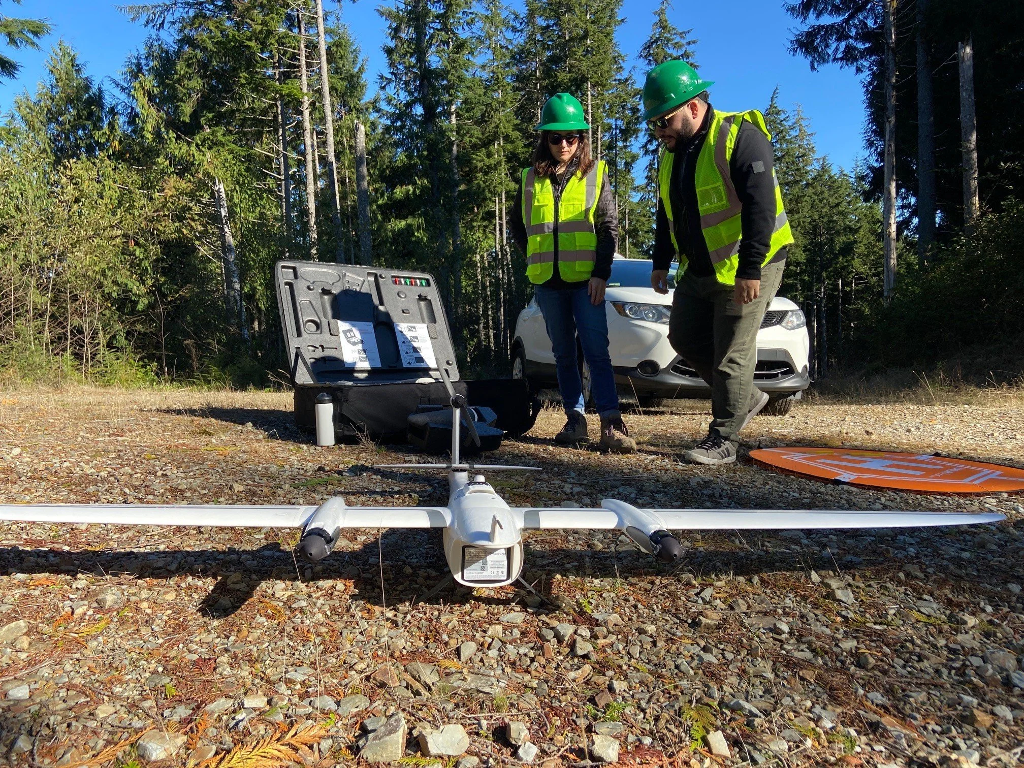
Through grants from NASA and the UW, Cassie obtained Washington’s first two “snow-on” Lidar flights to study snowpack before and after the thinning.
Cassie’s data allows for further investigation to larger scale landscape effects of forest thinning on snowpack and show that overall, forest thinning treatments along Cle Elum Ridge increased snowpack nearly two-fold. These observations reinforced our findings that nearly all snowpack gain occurs on cold, north-facing slopes. Cassie’s preliminary analysis of thinning levels further shows that any north-facing treatment that introduces edges and gaps, increases snow storage potential, but small gaps may be the sweet spot.

Preliminary data comparing snow depth response to different thinning prescriptions on the south (left) and north (right) sides of Cle Elum Ridge. Colors indicate different thinning levels, with dark green representing the densest stands of trees, and dark red indicating the largest gaps.
Cassie’s data allows for further investigation to larger scale landscape effects of forest thinning on snowpack and show that overall, forest thinning treatments along Cle Elum Ridge increased snowpack nearly two-fold. These observations reinforced our findings that nearly all snowpack gain occurs on cold, north-facing slopes. Cassie’s preliminary analysis of thinning levels further shows that any north-facing treatment that introduces edges and gaps, increases snow storage potential, but small gaps may be the sweet spot.
Intersectional Thinking and Looking Ahead

TNC staff visit a research site, check time lapse camera status, and measure snowpack. © Hannah Letinich.
Though my focus is on water, there are many factors that contribute to how a landscape is managed. Forest management actions affect water, fire, fish and wildlife ecology, and jobs. Managing for water may mean adjustments to forest management plans. In this respect, I find hope. Hope that by rolling back the fingerprints of past management practices, we can step forward to meet the challenges presented by climate change.
Stewarding lands and water requires balance, thoughtful and adaptive approaches, and advocates and leaders who are willing to come together to share knowledge and resources.
Looking ahead, our research hopes to inform forest health assessment frameworks, predict snowpack responses to forest treatments, and return lost water to the landscape as a vital way to restore species, habitats, cultural traditions and practices, and sustain the well-being and livelihoods of those who live in this region.