by Ailene Ettinger, Quantitative Ecologist
We know trees and green spaces support cooling in our cities, but what is the impact of individual street trees? For over a year, we’ve had temperature loggers installed in 57 locations—some with street trees nearby and others without—around the Tacoma Mall neighborhood in South Tacoma. It’s part of our project entitled, GRIT (Greening Research in Tacoma). And, we’d love you to join us in this research effort!
The Nature Conservancy is leading this collaborative research project with the Tacoma Tree Foundation, the Environment & Well-Being Lab at University of Washington, and the City of Tacoma, with funding from Puget Sound Partnership. GRIT builds on previous community outreach and engagement efforts to increase tree coverage in Tacoma by incorporating scientific research, building our knowledge base about what happens in low tree-cover neighborhoods as green infrastructure is added and learning how people living there experience these changes.

Volunteers from the Tacoma community help measure surface temperatures on a hot August day in 2022. Photo: Hannah Letinich.
So far, our analyses indicate greater tree canopy cover is associated with reduced air temperature. This is not new or surprising, but one thing revealed by our data I find to be especially interesting is that this association generally followed a linear relationship. Here’s an example of this relationship in the GRIT neighborhood on one particularly hot day in June 2022:

Graph showing that temperature declines linearly with tree canopy cover on many hot summer days, such as the one shown here on June 27, 2022.
Focusing on maximum daily air temperature data in June as an example, we estimate that maximum air temperature declines at a rate of 0.05ºF (0.03ºC) per one percent increase in local canopy cover (i.e., over an area within 10m of the temperature logger). In other words, increasing tree canopy cover at this very local scale from 0% to 50% tree canopy cover would lead to a reduction in the maximum daily air temperature of 2.5ºF, on average. There are a few things I think are especially interesting and important to consider about these data and the analyses we’ve done so far:
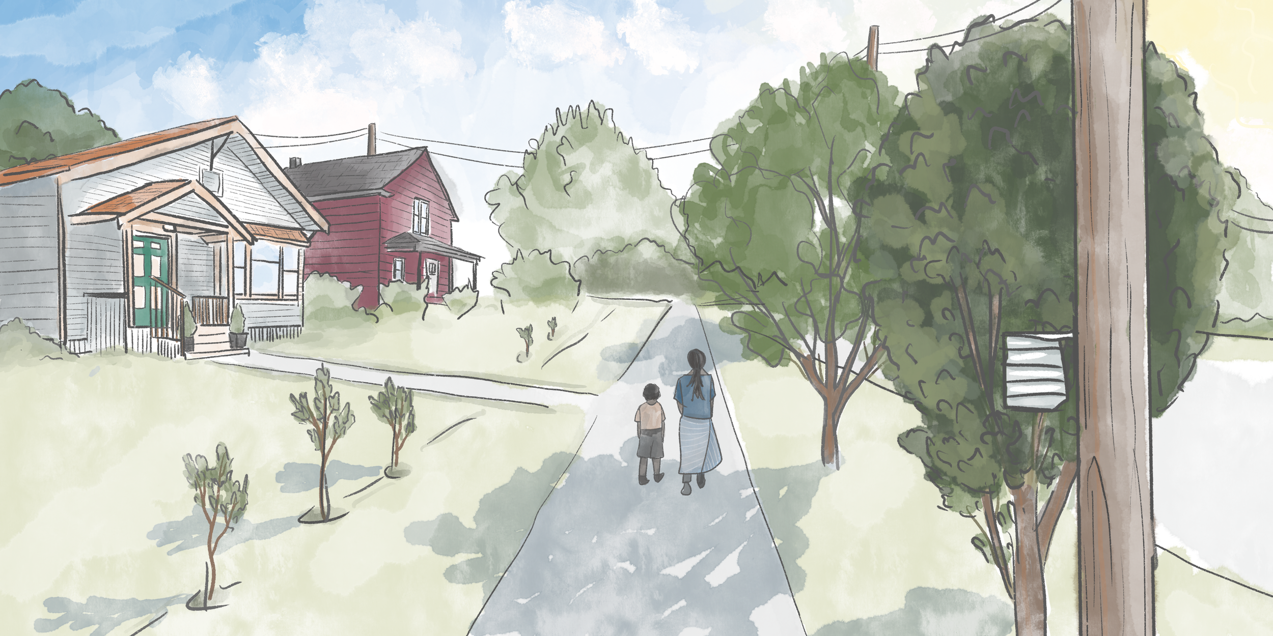
First, because this relationship is linear, it suggests there is no threshold tree cover required to affect air temperature; instead, every bit of additional tree canopy seems to help reduce local air temperature on hot days. Thus, planting more trees in areas where there are none is likely to lead to cooling in those locations. To me, this offers hope that we can all make a difference by planting trees—even one tree!—and we can all experience positive impacts from urban trees at local scales.

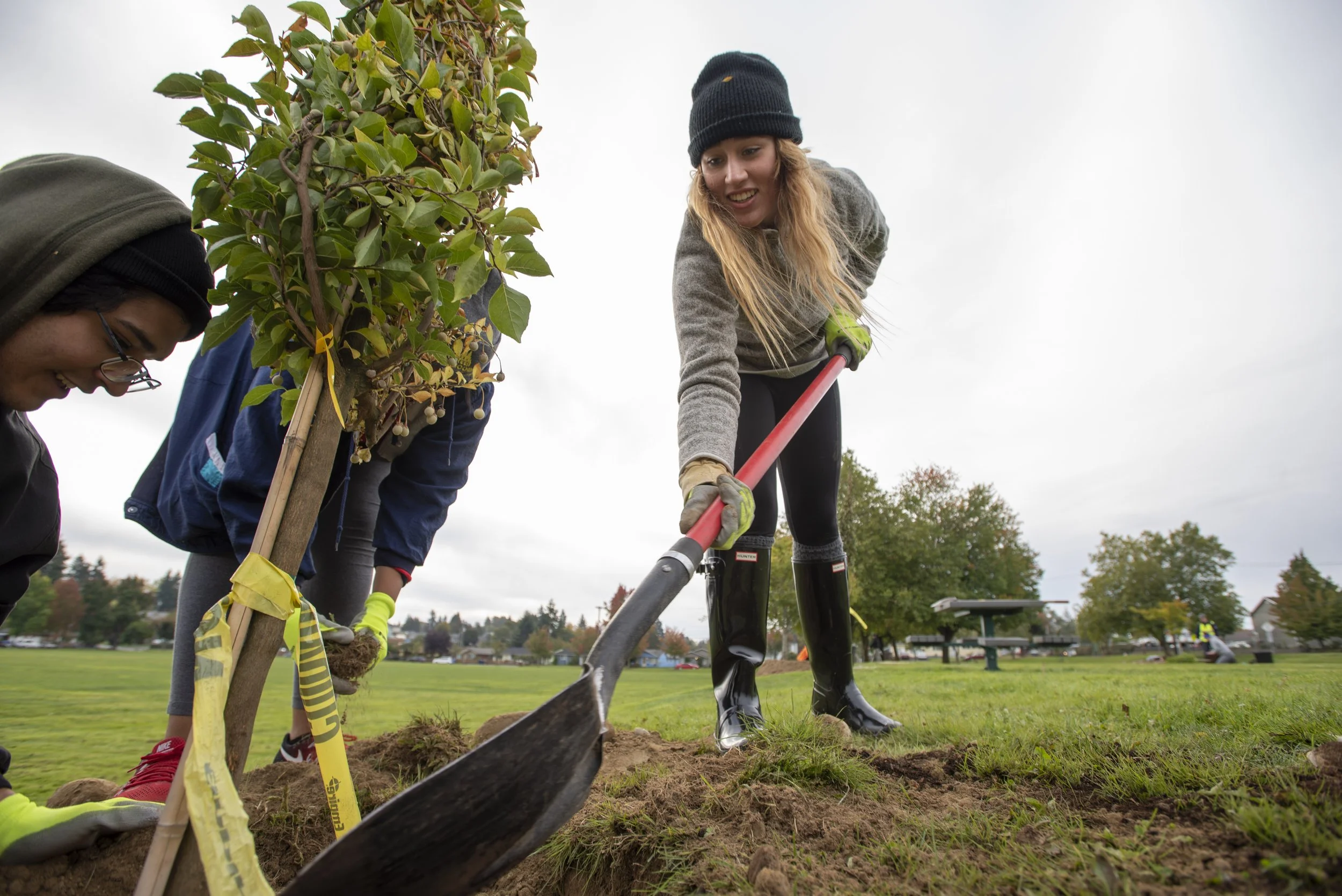
New tree plantings in a South Tacoma neighborhood. Photo: Hannah Letinich.
Second, based on a recent urban heat island analysis in Tacoma, the GRIT neighborhood is 5-6ºF hotter than some neighborhoods in Tacoma. Our research is ongoing, and we are continuing to evaluate how tree cover within this neighborhood impacts temperature at a very local scale, most immediately within 10 meters or so (just over 30 feet). Meanwhile, we're trying to understand how other factors at larger spatial scales, greater than 10 meters, also effect temperature, including hard surfaces such as roads, driveways, sidewalks or roofs and the percentage of tree cover present across an entire neighborhood or city.

Illustration of temperature loggers measuring both air and surface temperature. Illustration: Erica Sloniker \ The Nature Conservancy.
And third, most of our temperature monitoring focuses on air temperature, measured at about 2 meters (about 6.5 feet) above the ground surface. However, temperatures measured on the ground surface may differ from air temperature, especially in the sun. Surface temperatures are harder to measure continuously with passive data loggers.
To understand and quantify the differences between field-measured air and surface temperatures in the GRIT neighborhood, we engaged 32 people on a hot August day in 2022 to help us measure surface temperatures. Based on data collected that day, we estimate the presence of a large tree in the neighborhood can cool surface temperatures by 28ºF (15.6ºC) on average (compared to cooling air temperature by 2.9ºF [1.6ºC] on average). We plan to do another surface temperature monitoring and engagement event on May 13, 2023. Come join us for this “Temperature Jamboree” if you’re interested to learn more about this collaborative research project!
These preliminary analyses, and the data we collect at the Jamboree, will be incorporated into scientific manuscripts and may be used to inform future tree planting and other activities.
Ailene Ettinger is a quantitative ecologist at The Nature Conservancy. She uses data and models to understand the species, communities, and ecosystems around us, especially effects of global change and conservation actions. Her research toolbox includes field experiments, observational monitoring, meta-analysis, and statistical models.