

Written by Eric Delvin, Project Manager, Emerald Edge
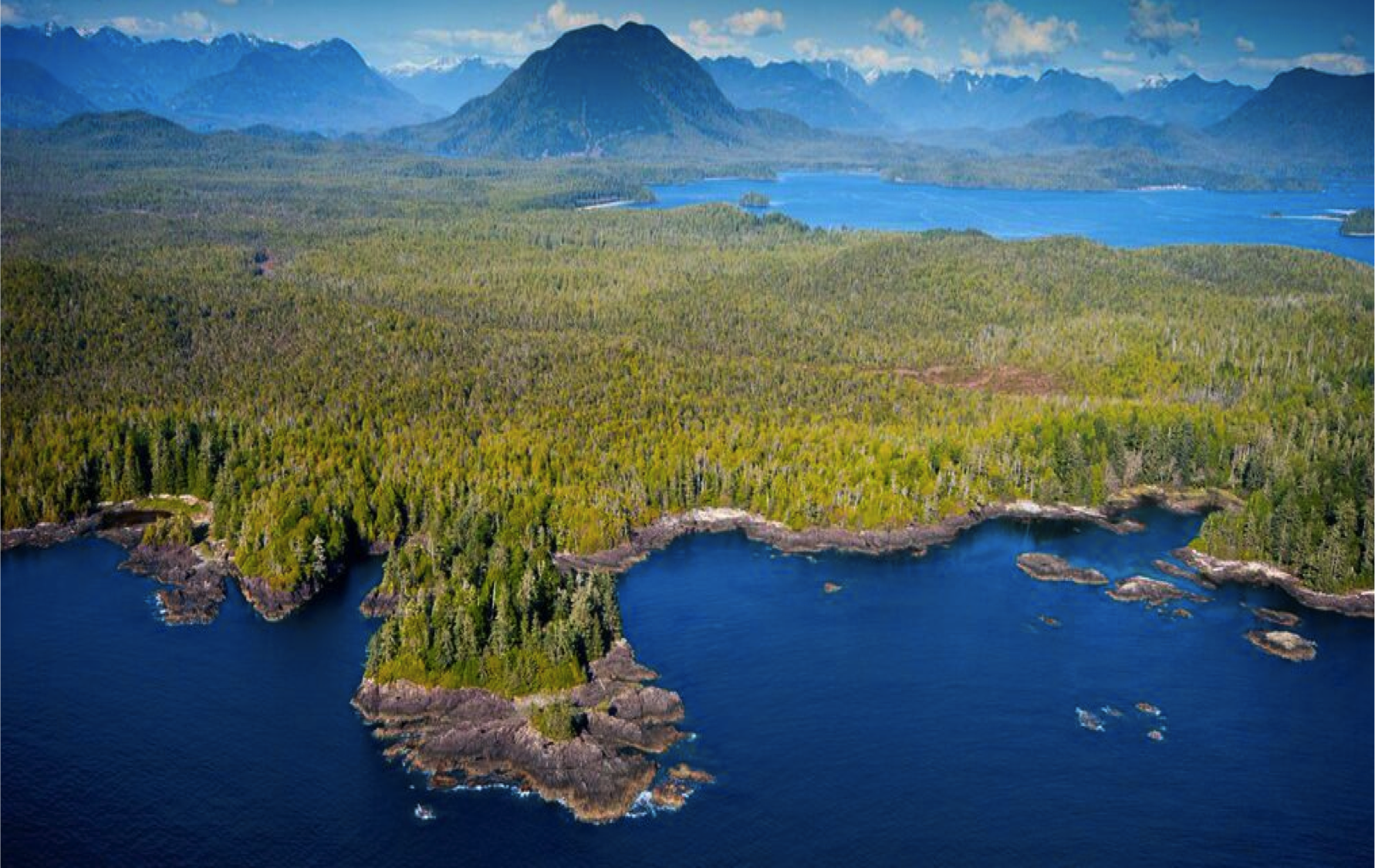
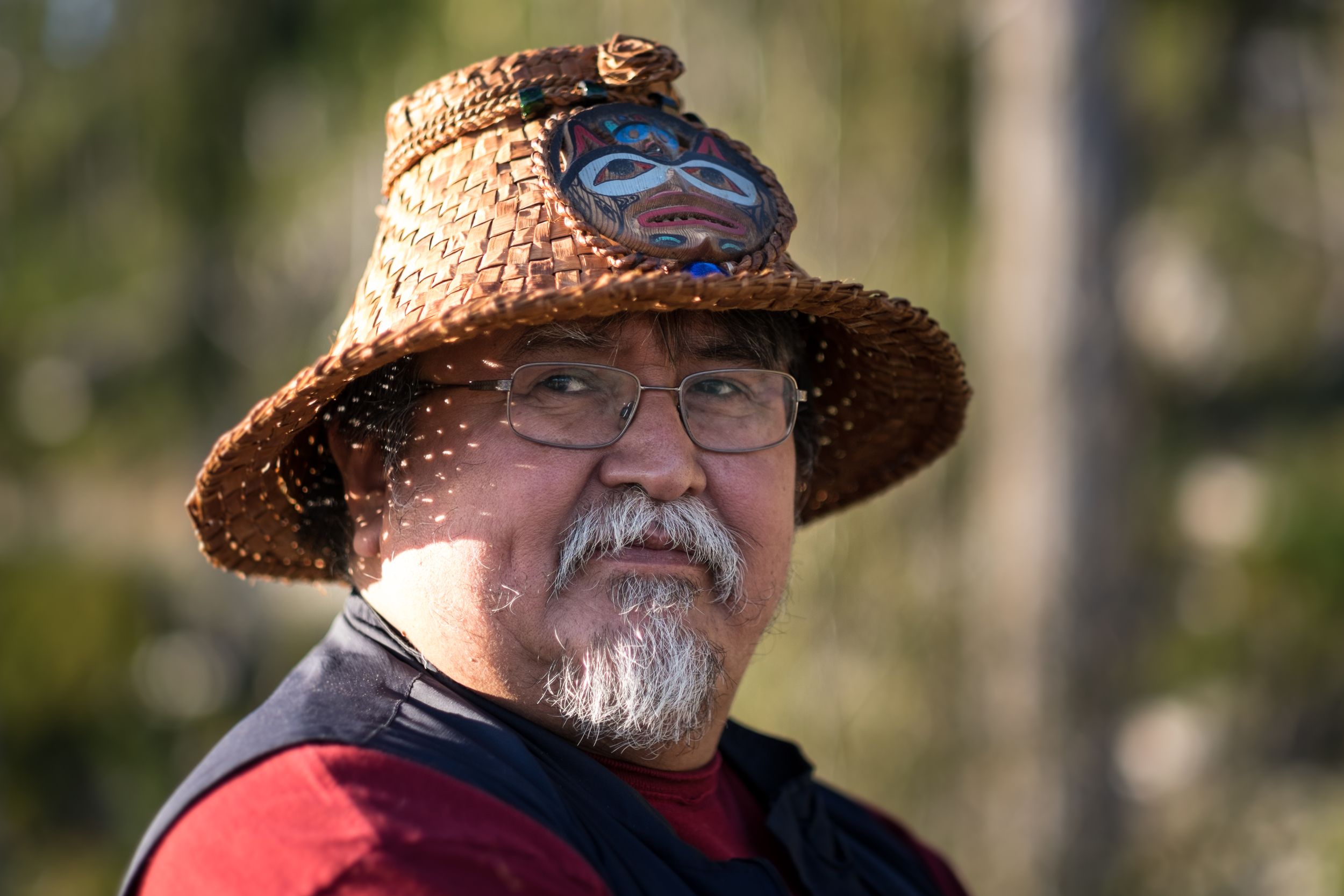
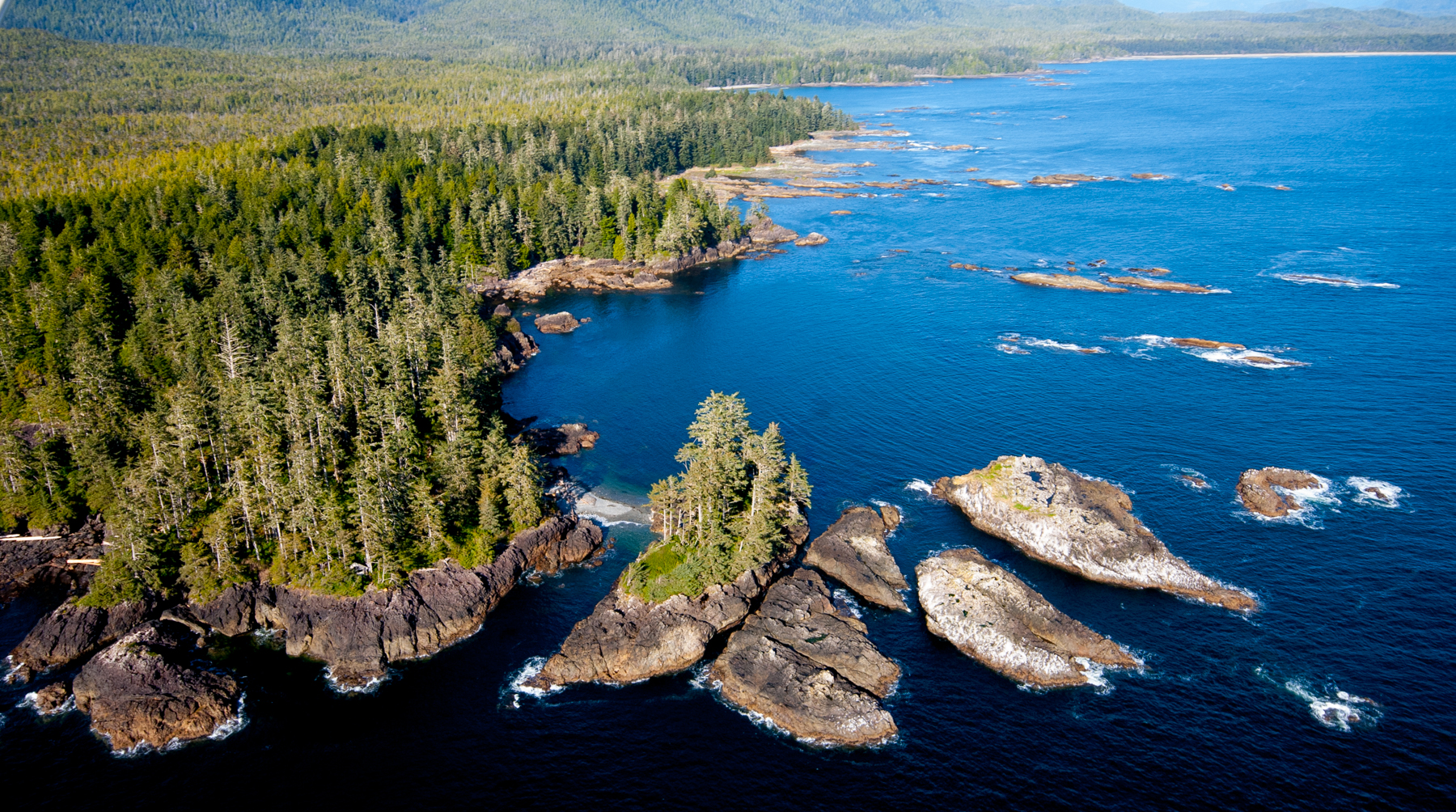
For just over a year I have been “on assignment” with The Nature Conservancy’s Emerald Edge program, leading our work with our First Nation partners in Clayoquot Sound. Over this time I have really come to understand what an important place this is for the world, for Canadians in general and for the First Nations, who call it home, particularly. Clayoquot Sound, situated on the coast in the center of Vancouver Island, is home to the largest act of civil disobedience in Canadian history, when thousands of Canadians converged on the small town of Tofino in the early 1990s to stand in solidarity with the First Nations of the area to protest old growth logging. The conflict resulted in substantial changes in forest management regulations, but it did not stop old growth logging or create a sustainable economic future for the First Nations of the region. Today Clayoquot Sound contains the last stands of unprotected old growth on all of Vancouver Island and the First Nations are continuing to strive for economic development opportunities that value their trees standing and their environment healthy.
The Conservancy is partnering with three First Nations—the Hesquiaht, Ahousaht, and Tla-o-qui-aht– to create a new vision for the future of the sound and will include establishing new conservation areas across more than 450,000 acres of old-growth forests and retiring a conventional timber tenure to give full management authority to the three First Nations. This partnership has been driven by the First Nations’ interests in regaining control of their natural resource management decisions to shape a sustainable future for their territory and people.
Over the last year, we have made tremendous progress with our First Nation partners in advancing our conversation past hopes and dreams towards timelines and outcomes. This spring TNC signed memorandums of understanding (MOUs) with each of the First Nations that detail how we will work together over the next 18 months to achieve their vision for their territories. Each MOU includes detailed activities that will ensure we develop a new land use visions that are supported locally and are ready to be negotiated and adopted with the Province of British Columbia.
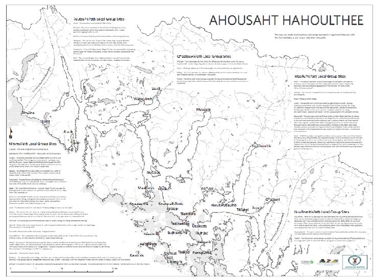
This summer we spent several months meeting with each community to do baseline mapping of their territories, which captured all the existing information known in each territory, particularly capturing information that had been done in the past mapping projects. Colin Shanley, a TNC GIS analyst from our Southeast Alaska program, volunteered to lead this effort and traveled to Clayoquot Sound several times to meet with us as we gathered all the information. One of my favorite maps that Colin helped to produce included some of the more important place names for the Ahousaht First Nation, and is written in their language.
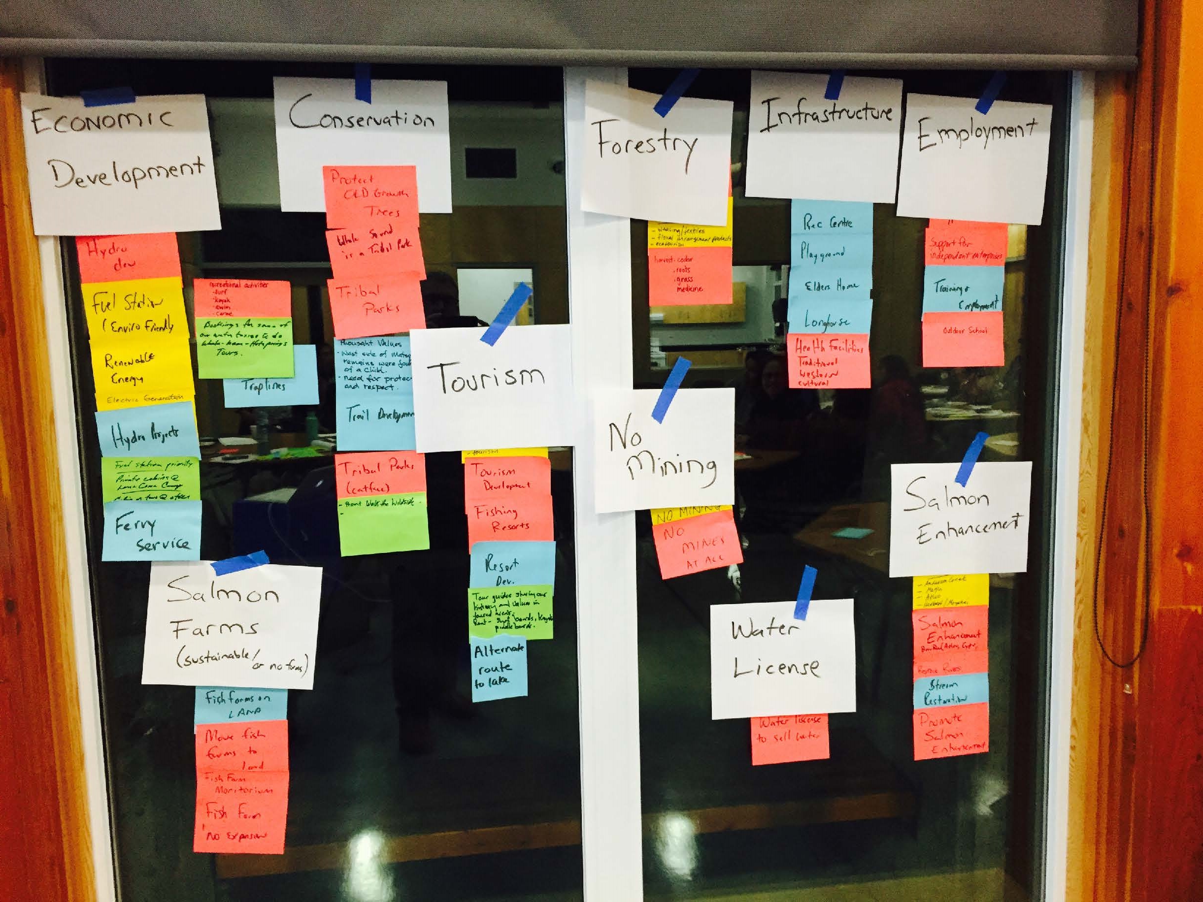
This fall we worked with each First Nation to host a series of community meetings in their home villages and also multiple other locations on Vancouver Island. The purpose of the community meetings was to discuss the project in more depth and to also capture the values and vision of each of the communities for the future.
This winter and early next year we will continue to meet with the local communities and iteratively develop their land use visions as we prepare to support the First Nations in their conversations and engagement with the Provincial government. We will also begin to collaboratively develop other components of the project including carbon financing and economic development.
Though we have more work ahead, I am encouraged by our progress over the past year. I am continuously inspired by the place and the people of Clayoquot Sound, and thankful that I can help TNC conserve this incredible land and seascape and do it in a way that is supported by and supportive of the First Nations that call it home.


