orting

Floodplains: Revisited

Written & Photographed by Robin Stanton, Media Relations Manager

I revisited two Floodplains by Designs sites on the Puyallup River – the Calistoga Reach project in the town of Orting, and the South Fork project a few miles north and downriver from there.

These were both projects designed to re-connect the Puyallup River with its historic floodplain, provide more salmon habitat, and reduce the threat of flooding to people.

The Calistoga Reach project was completed in November of 2014—a week later the river hit a flood stage that previously had sent thousands of people fleeing from their homes. This time, Building Official Ken Wolfe said, “We didn’t have to deploy even one sandbag.” The river rose again in 2015, and again the town stayed dry.

Today, you can see the reclaimed natural areas that in times of flood give the river room to rise, and also offer refuge to juvenile salmon and other wildlife and walking paths for people.

The South Fork project is a new side channel for the river, again giving the water places to go when the volume is high, along with great salmon habitat. It’s being completed in stages, and by the time it’s finished, it will be a mile-long side channel, the longest on the Puyallup River. Engineers Jeffrey Davidson and David Davis helped me scramble all over the site, Pointing out new channels created by the river, engineered logjams that are evolving as the river runs through, and new gravel bars and sediment deposits brought down from Mount Rainier by the power of the river. Salmon are using the site, and they’ve seen black bear and deer out there as well.

It's remarkable to see how nature can come back and revive when you give it a chance!


The Proof is in Our Floodplains

tumblr_nrf4blgqQc1tt4iu9o1_1280.jpg
tumblr_nrf4blgqQc1tt4iu9o3_1280.jpg
tumblr_nrf4blgqQc1tt4iu9o5_1280.jpg
tumblr_nrf4blgqQc1tt4iu9o4_1280.jpg

The multiple benefits of the Calistoga Project 

Written by Bob Carey, Strategic Partnerships Director, Skagit River Program
Photographs by Parametrix

The benefit of restoring our floodplains is becoming more and more evident each day.

Much attention has been brought to the flood control benefits of the Calistoga Reach project.  The project, which set levees back giving the Puyallup River more room to flow naturally, enabled the city of Orting to avoid a major flood last November and gave reason for the National Weather Service to more than double the flood warning levels for that area. It was a great win for the people of that community.

Now we’re also seeing proof of the very real environmental benefits also beginning to come to fruition.

The city of Orting’s top building official, Ken Wolfe, witnessed it firsthand seeing salmon returning as a result of the stream and floodplain reconnection work done in Orting. Giving rivers more room not only provides space for floodwaters to spread out and slow down, it provides space for side channels, wetlands and forests to form – and for salmon and other species to thrive.

Natural systems really are some of the most effective for clean water, preventing floods and protecting habitat. The more we can use natural systems, we can save money in the long-term, provide more clean water, fish and public safety.

Check out the Orting mayor’s opinion column on how it saved the city

Learn more about our floodplains work and Floodplains by Design

tumblr_nnl56bfaNA1tt4iu9o1_1280.jpg
tumblr_nnl56bfaNA1tt4iu9o2_1280.jpg

Orting Honored for Puyallup River Project

City receives the 2015 Municipal Excellence Award

Written by Tom Burgert, Government Relations Associate
Photography by Keith Lazelle

The Association of Washington Cities announced that the Town of Orting is a recipient of a 2015 Municipal Excellence Award. Orting is being honored in the Small City Success category for their groundbreaking work on the Calistoga Setback Levee through new, innovative Floodplains by Design grant program.

The new 1.6-mile Calistoga Setback Levee protects the City of Orting from flooding, widens the Puyallup River channel, restores natural habitat, and promotes salmon recovery.

You may remember that Orting was featured in the Seattle Times last fall. Orting Mayor Joe Pestinger wrote:

“We broke ground on the $17 million project in March 2014. On Nov. 25, the new infrastructure was tested as the Puyallup rose to the same flow that flooded our town in 2009. But this time, the new levee held. It was tested again in December and in January. It worked. The benefits to people are obvious and immediate: safety, community well-being, economic security.”

Read the whole piece here

In the same breath of commending the town of Orting, it is also critical to note that this successful project would not have been possible without the Floodplains by Design program, which funds local projects that substantively reduce flood risks and restore habitat, and that may also improve agricultural viability, water quality and recreational access.

Funding for Floodplains by Design is being considered by the state Legislature right now. The State House proposed $43 million for 12 top ranked projects around the state. The State Senate proposed not funding the program.

Visit our take action page to learn more about how you can get involved in restoring funding for this important program so that more towns like Orting can celebrate successes for public safety.

Restoring Nature to Protect People

tumblr_nk8k7lzwHo1tt4iu9o1_1280.jpg
tumblr_nk8k7lzwHo1tt4iu9o2_r1_1280.jpg

By Bob Carey, Strategic Partnerships Director
Photography by USGS, Bridget Besaw

Many people know that healthy rivers and associated wetlands support a large array of fish and wildlife, and that their worldwide degradation is a driver in the loss of biodiversity – including the declines of the Pacific Northwest’s iconic salmon runs. Fewer know that restoring rivers can also help protect people from the hazards of flooding and climate change.

Pierce County and the City of Orting, however, are an exception. After decades of costly and unsuccessful efforts to “control” the Puyallup River through the construction of riverbank levees and revetments, the County and City are pioneering efforts to work with nature – restoring the river and its floodplain, and reducing flood hazards as a result. Earlier this month, the National Weather Service formally acknowledged the success of this work by more than doubling the river flow volume at which it issues Flood Warnings on the Puyallup River.

For the last several years Pierce County and the City of Orting have been working to give the river more room – by voluntarily acquiring property in high risk areas, setting levees back from the river edge and reconnecting side channels, wetlands and other flood prone lands. Some of this work has been assisted by an innovative new funding program spearheaded by the Department of Ecology, Puget Sound Partnership and The Nature Conservancy called Floodplains by Design.

The National Weather Service’s decision came after monitoring flood risks during recent high flows. This winter the Puyallup River experienced multiple flow volumes which historically would have led to evacuations, large sandbagging efforts and potentially significant human and financial damages. This year, those costs were avoided. That’s a big deal.

What’s more is that through their efforts to give the river more room they have not only reduced the costs associated with flooding, they have restored critical salmon spawning and rearing habitat and created new riverfront greenways for public recreation. More benefits, fewer costs.

Now that’s success.

Welcome to Flood SeasonWritten by Julie Morse, Regional Ecologist, The Nature Conservancy in WashingtonPhotogrpah by Andy Porter, Northwest PhotographerIt’s flood season here in Western Washington. That’s nothing new of course. Puget Sound rivers ha…

Welcome to Flood Season

Written by Julie Morse, Regional Ecologist, The Nature Conservancy in Washington
Photogrpah by Andy Porter, Northwest Photographer

It’s flood season here in Western Washington. That’s nothing new of course. Puget Sound rivers have reached flood stage over 1400 times in the last 20 years. It’s just part of life here.

Albeit, a very stressful part of life. Especially for floodplain managers whose jobs it is to minimize the damage caused by swelling rivers that naturally want and need to jump their banks – wreaking havoc on people’s homes and businesses, undermining transportation corridors, and putting lives and our economy at risk.

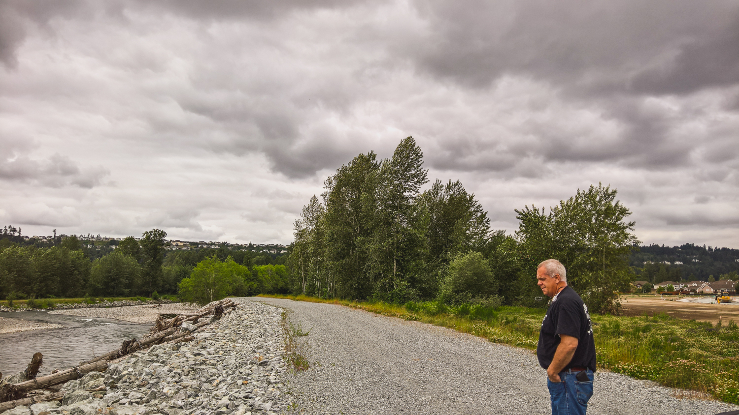
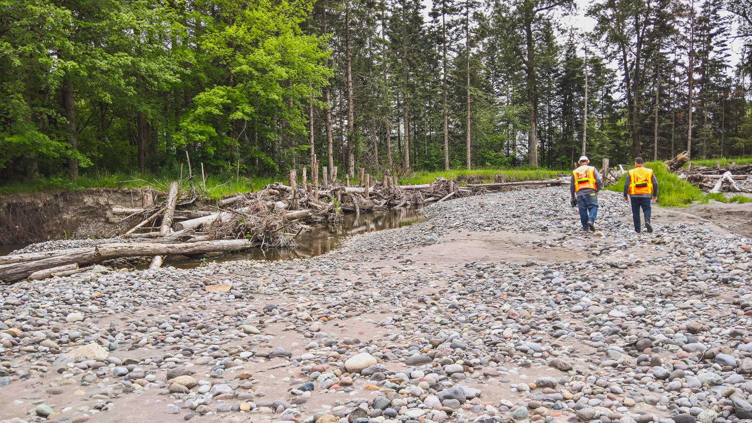
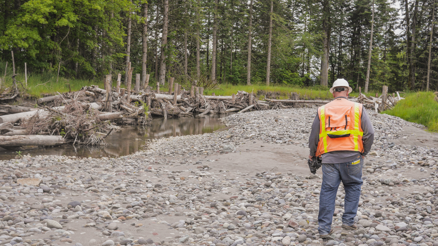
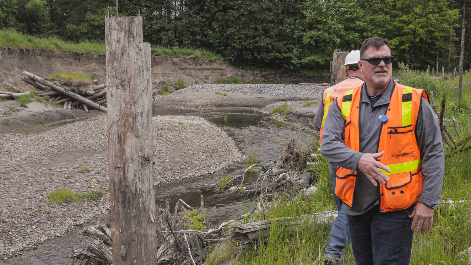
Ken Wolfe has one of those unenviable floodplain manager jobs. He is responsible for safety of the City of Orting which sits on the Puyallup River -one of the most flood prone rivers in the State. So it’s strange to see him walking around with a big smile on his face this time of year.

Last week a “pineapple express” or what the weathermen call an “atmospheric river” moved through our region bringing heavy rains. These storms are common here and can result in flooding, especially in the fall when there’s little snowpack in the mountains to absorb all that rain or when it warms rapidly after snowfall so rain and snow melt create a double whammy. The Puyallup River was raging and peaked at over 16,000 cubic feet per second.

The last time the river got that high was in January 2009, when it broke through the levee and caused 26,000 people to be evacuated in the Puyallup River Valley, in and around the City of Orting It resulted in one of largest urban evacuations in the State’s history. Despite the fact that it was the 4th highest flow ever recorded on the Puyallup, this year only a handful of residents voluntarily evacuated.

And instead of overseeing the chaos of filling 17,000 sandbags as he did in 2009, Ken Wolfe is smiling.

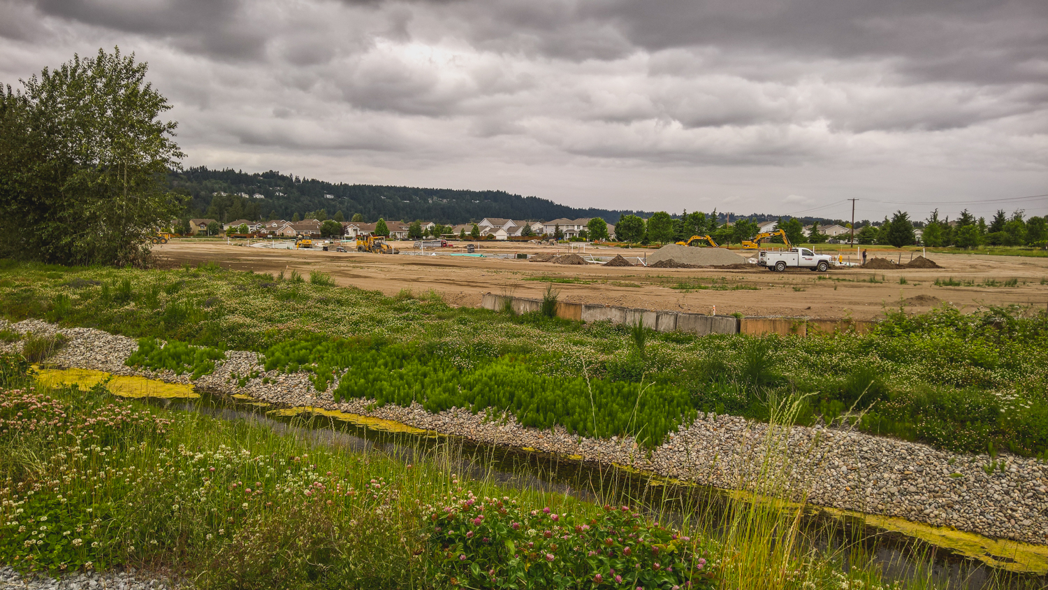
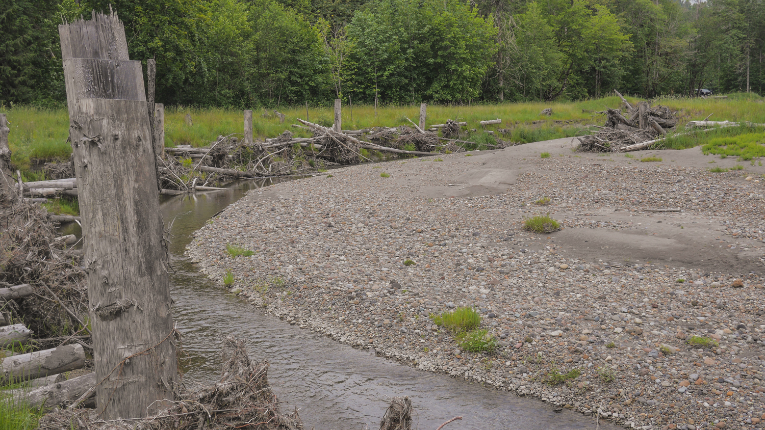
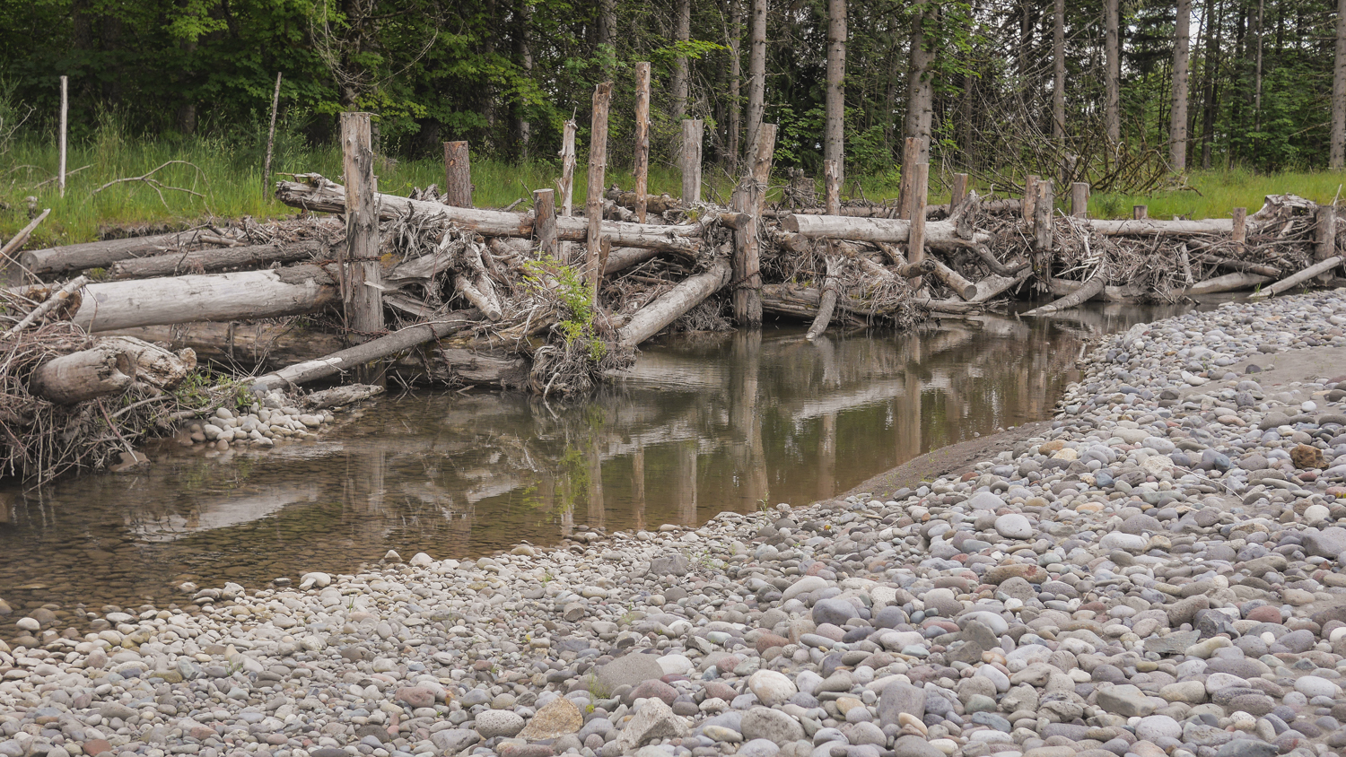
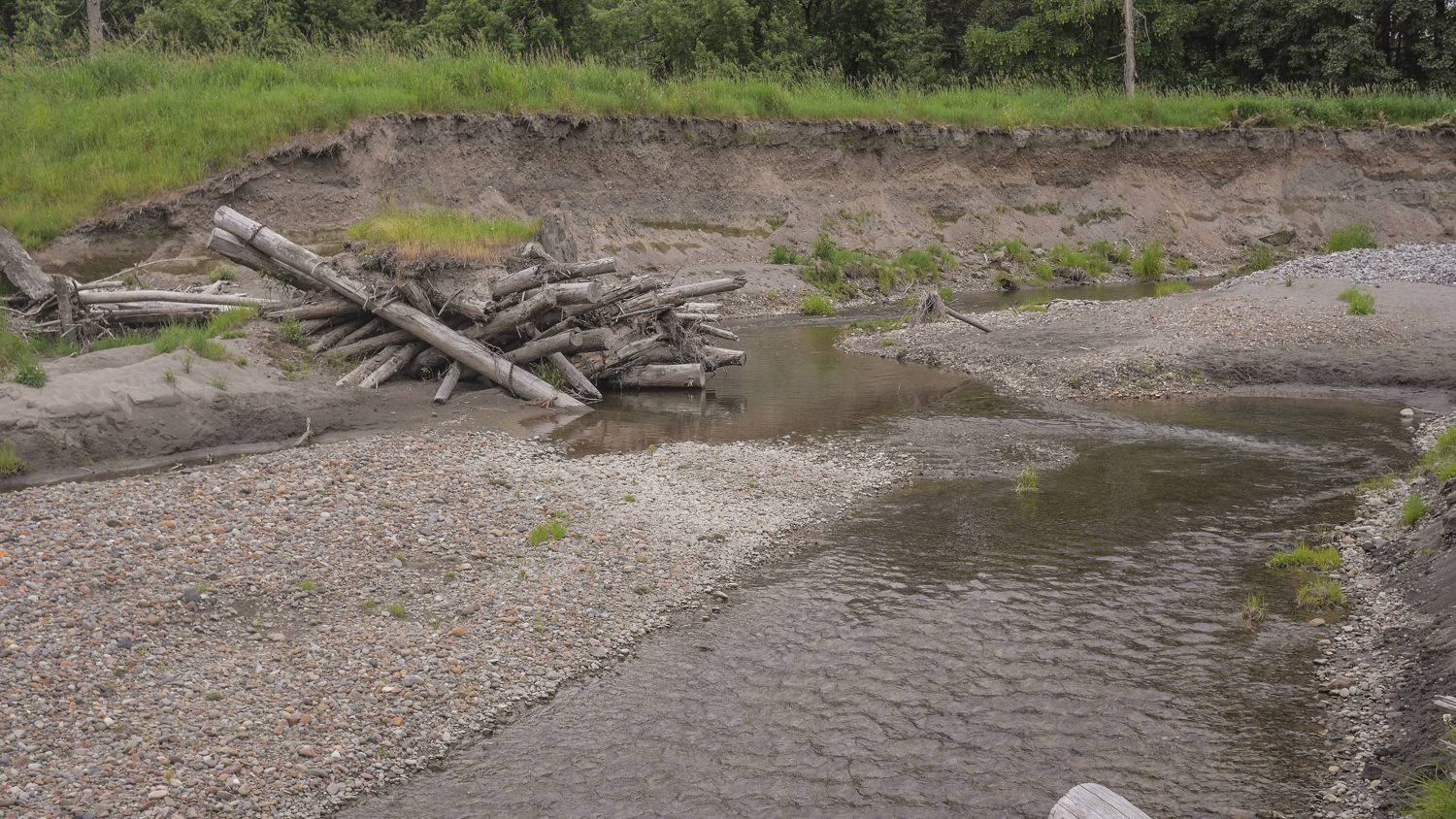
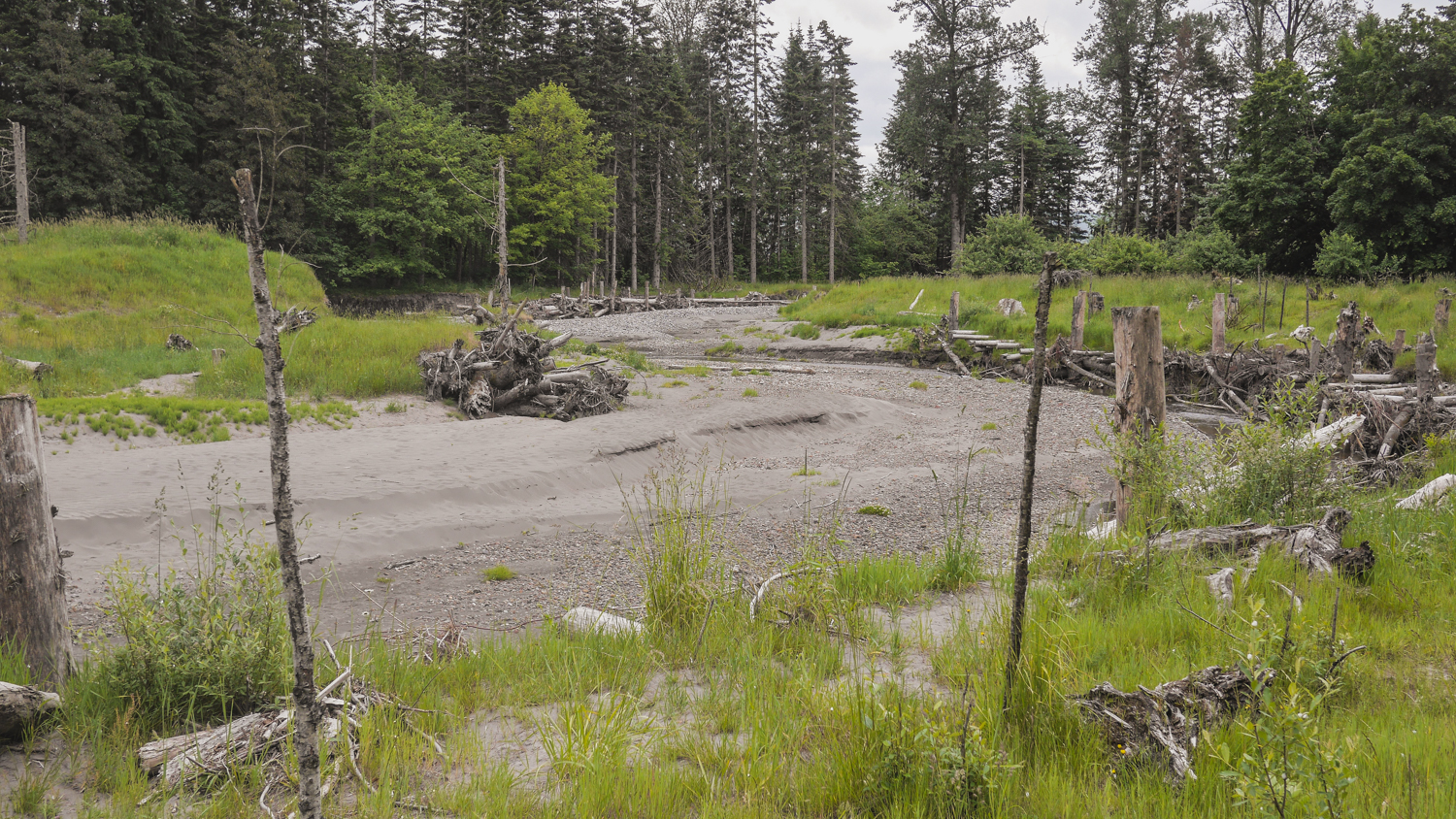
Just last month major phases of the Calistoga Reach Floodplains by Design Project was completed.

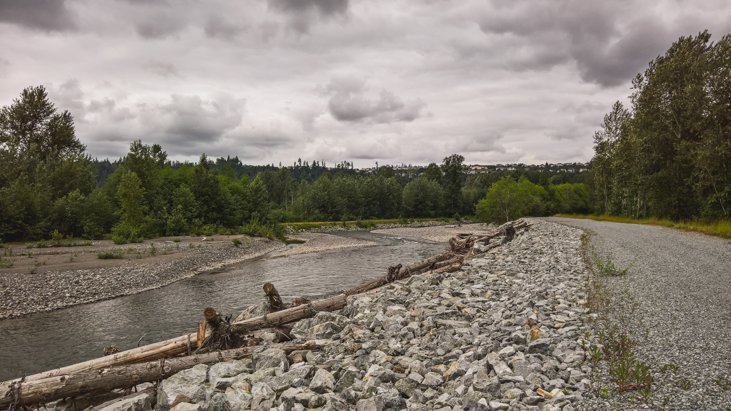
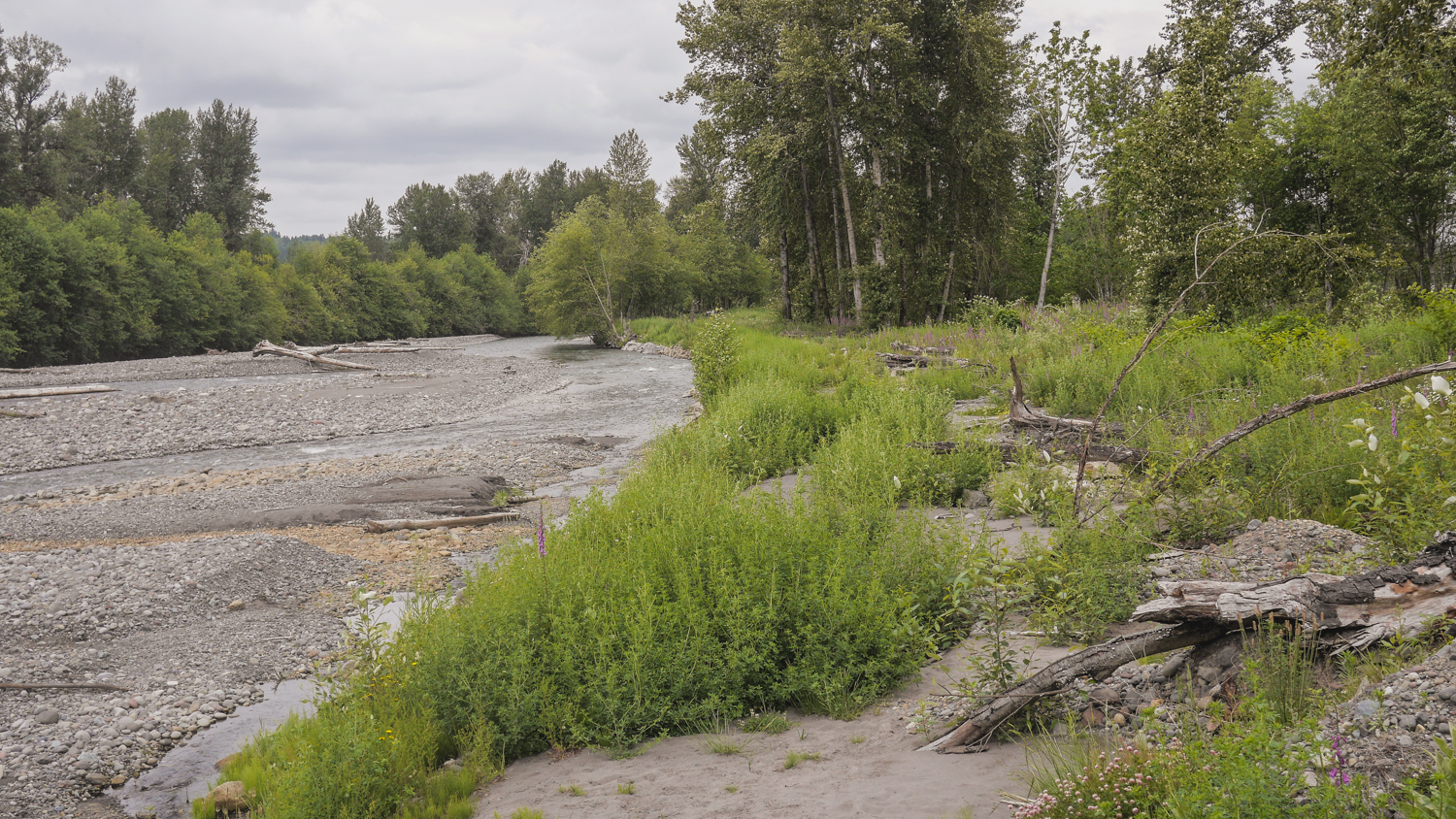
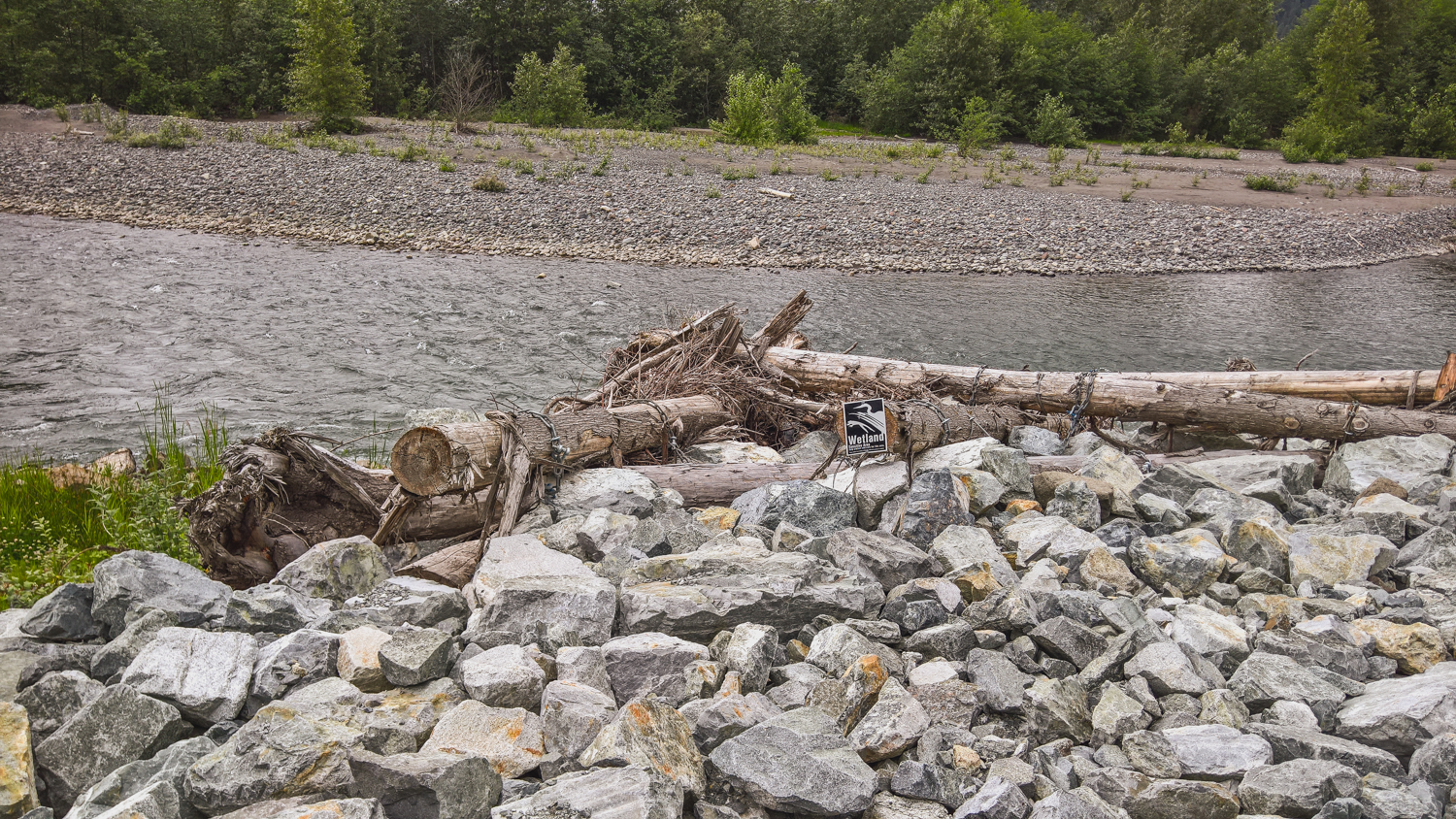
In Orting, the City moved 1.5 miles of the levee back to expand the width of the river corridor by up to 4 times - giving the river more room to spread out and slow down. Clearly, it worked, and has helped dramatically reduce the flood risk for this community.

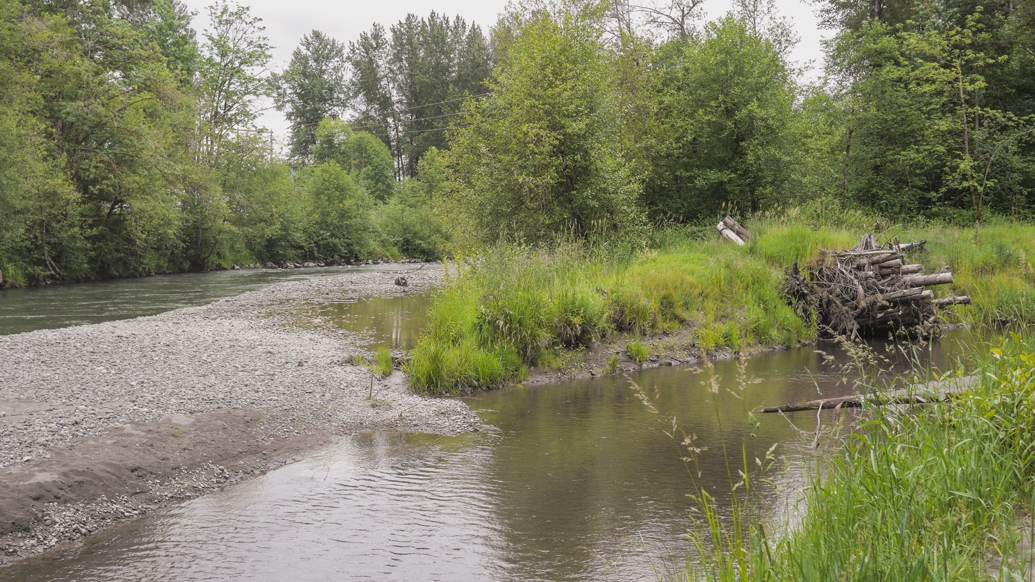
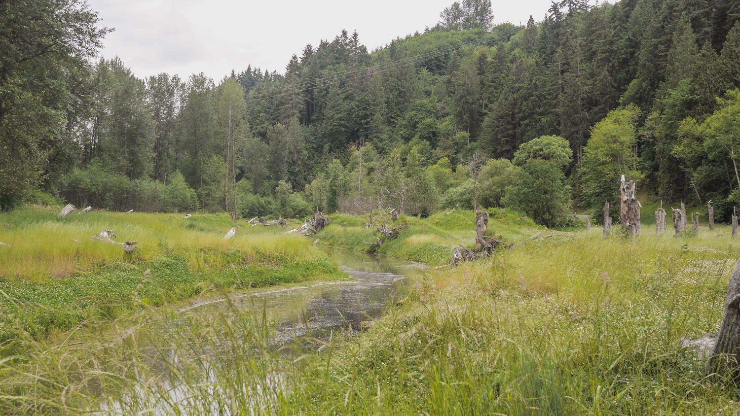
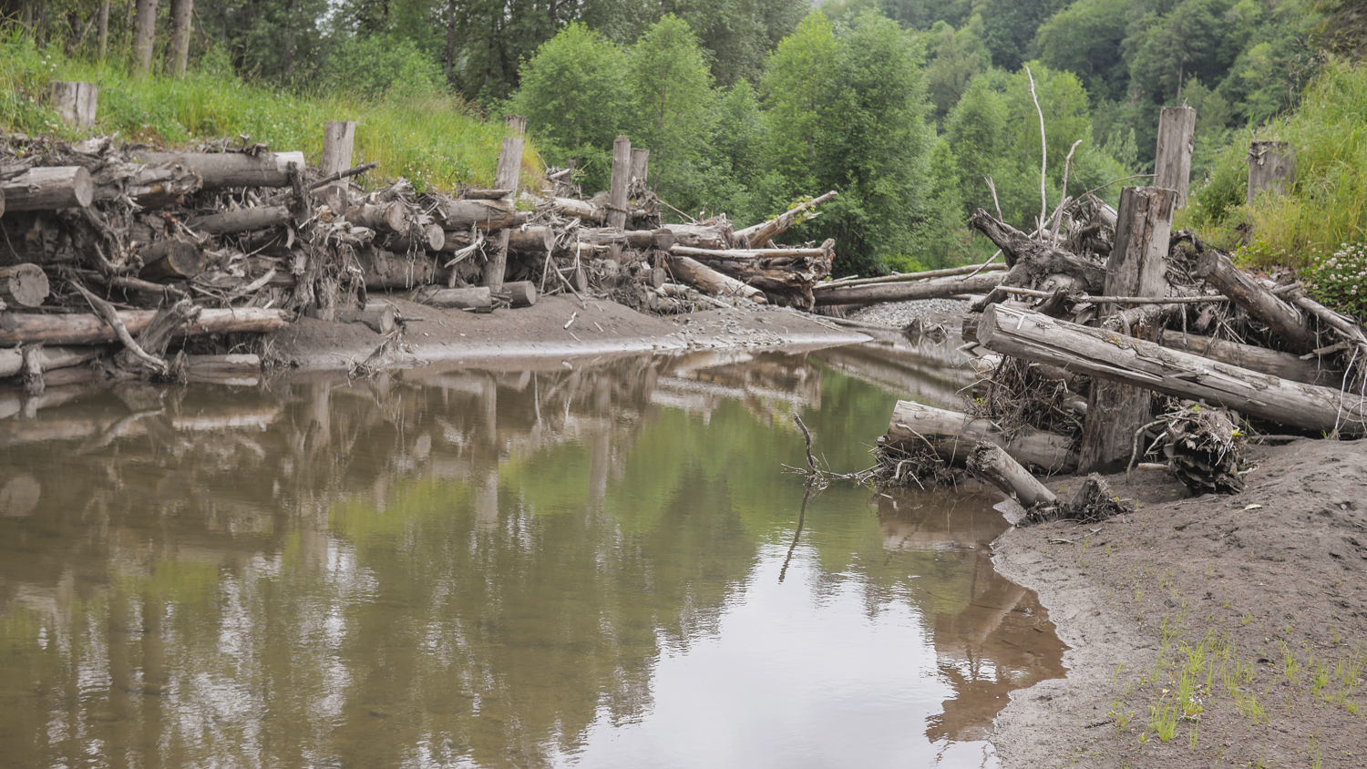
Meanwhile, just downstream, this summer Pierce County completed an effort to reconnect about 150 acres of floodplain and carve a new side channel to the river. During last week’s high flow, this new channel took about 30% of the flow out of the mainstem Puyallup, dramatically reducing pressure on riverbank levees that protect a large subdivision.

The project in Orting is one of the first Floodplains by Design projects to be completed, and the first to stand the test of a big flood. What’s more, in addition to the dramatically reduced flood risks in this area, these projects are also providing other important community benefits. The side channels and reconnected floodplains provide critical salmon spawning and refuge habitat. And when the waters recede, city and county residents are left with about 2 miles of scenic riverfront open space.

The City of Orting and Pierce County deserve kudos for working together on a large stretch of river to implement projects that combined, reduce flood risk, restore critical habitat for salmon and improve the quality of life for residents of the area. This is exactly what Floodplains by Design program is all about – working together to implement big projects that produce big results.

Related Blog Posts

Farms, Fish & Floods Initiative

Welcome to Flood Season

Fisher Slough & the Flood