Nature Conservancy Forester Brian Mize got a first look at our property that burned in the Central Cascades.
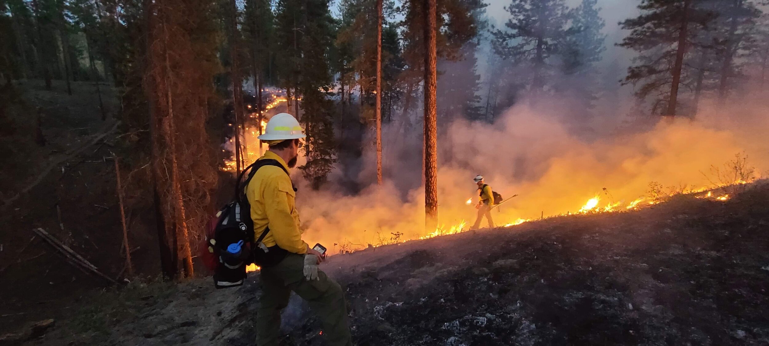
Devastating forest fires continue to burn across our state and across the west. But we’ve now had our first look at roughly 1,800 acres of Nature Conservancy land above Lake Cle Elum that burned in the Jolly Mountain Fire.
We’ll need to spend more time in the area to fully understand the impact of the fire. But an initial look shows a mixture of areas that experienced low severity fire, along with areas where more than 90 percent of the trees burned in a higher severity fire.
Here’s some of what we saw:
The "Morgan Unit," which was thinned winter 2016-17. High severity burn. Morgan Creek housing development is seen below. Photo © Brian Mize/TNC
This is the "Morgan Unit," which was thinned winter 2016-17, looking toward leave strip below the road. Moderate to high severity burn. Photo © Brian Mize/TNC
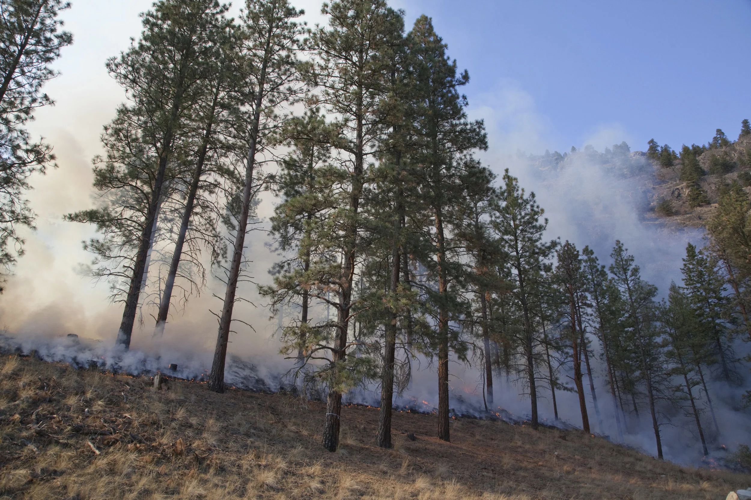
View toward Hex Mountain and headwaters of Newport Creek. Mixed severity burn in timber and high severity in tree plantations. Photo © Brian Mize/TNC
The Hillside above Morgan Unit, partially thinned winter 2016-17. High severity burn. Photo © Brian Mize/TNC
Looking west toward upper Bell Creek drainage. Tree plantation below road experienced a high severity burn. Areas in bottom had mixed severity. Ridge line with smoke is the top of larger Morgan thinning unit. Photo © Brian Mize/TNC
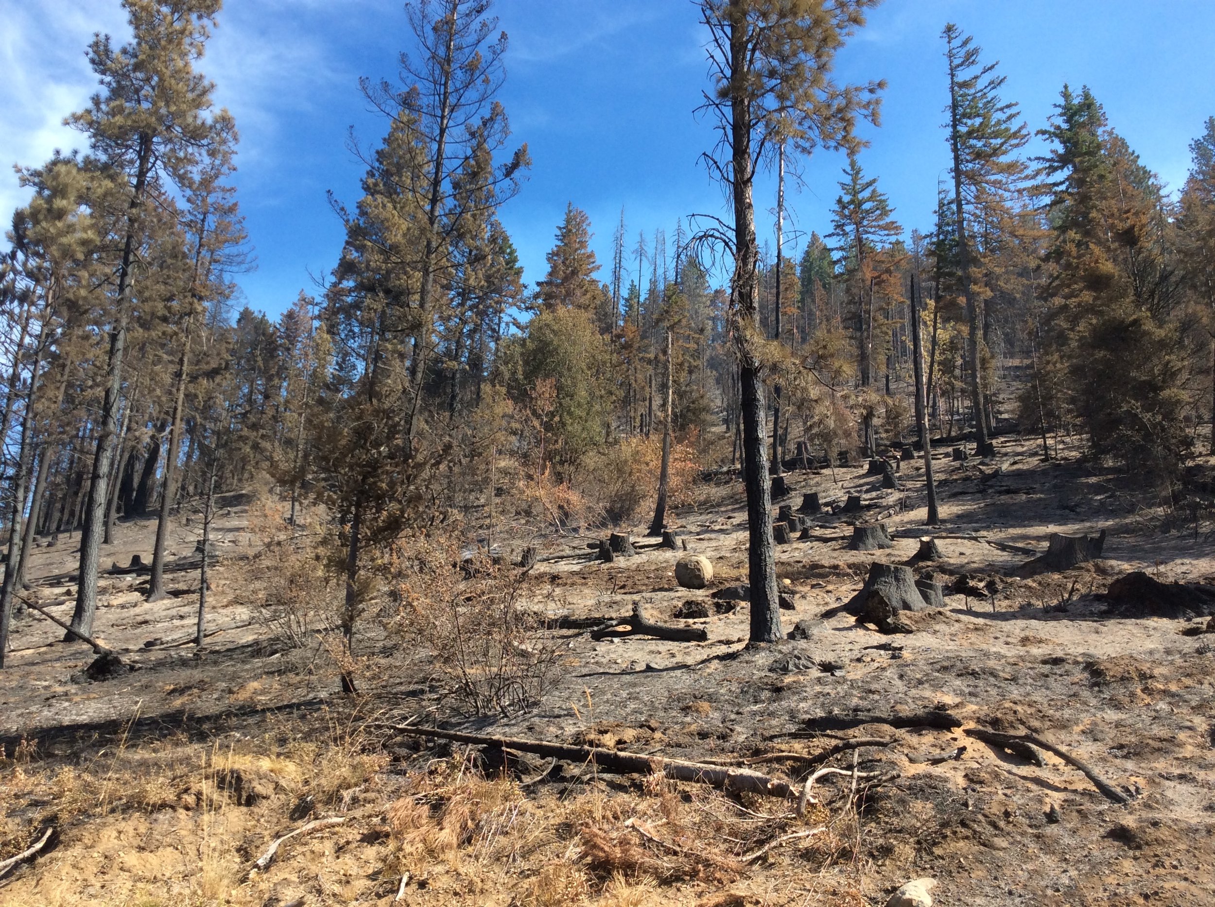
Looking north toward Red Mountain. Plantation below road and stand above road (Morgan unit that was not thinned) experienced high severity burn. Photo © Brian Mize/TNC
This area of the Morgan Unit thinned summer 2016 experienced a high severity burn. Photo © Brian Mize/TNC
A burned Hex Mountain Trail sign. This area experienced a mixed severity burn, with a large area below this sign experienced high severity. Photo © Brian Mize/TNC
As of Sept, 14, the Jolly Mountain fire is 25% contained and has burned more than 34,000 acres.