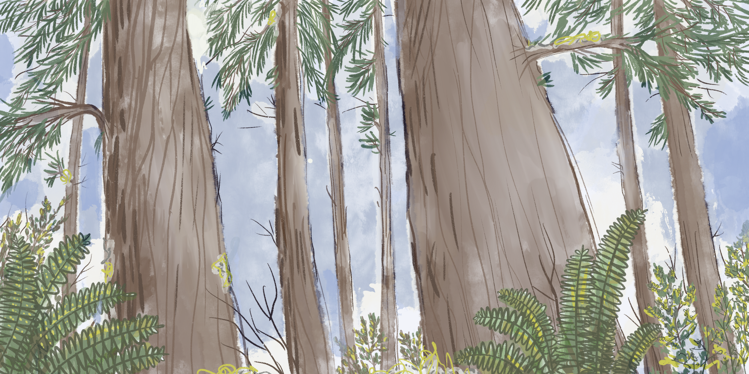
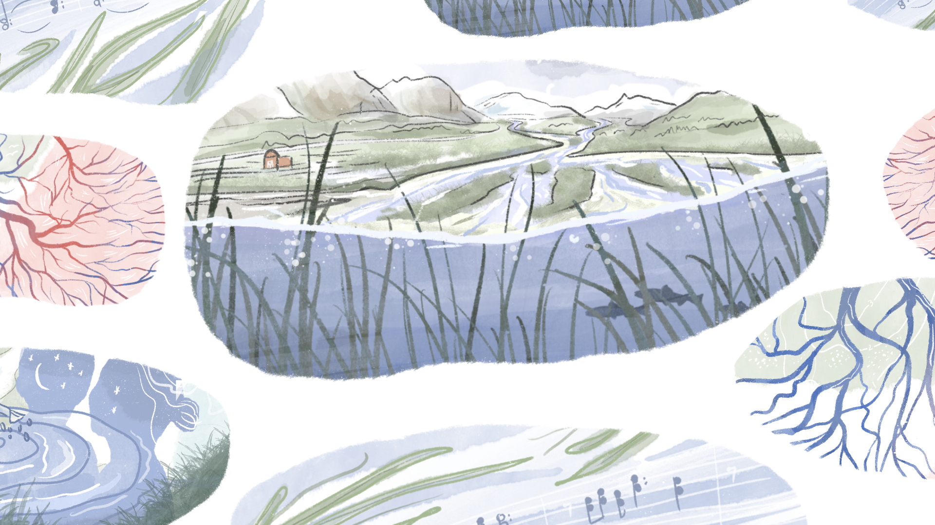
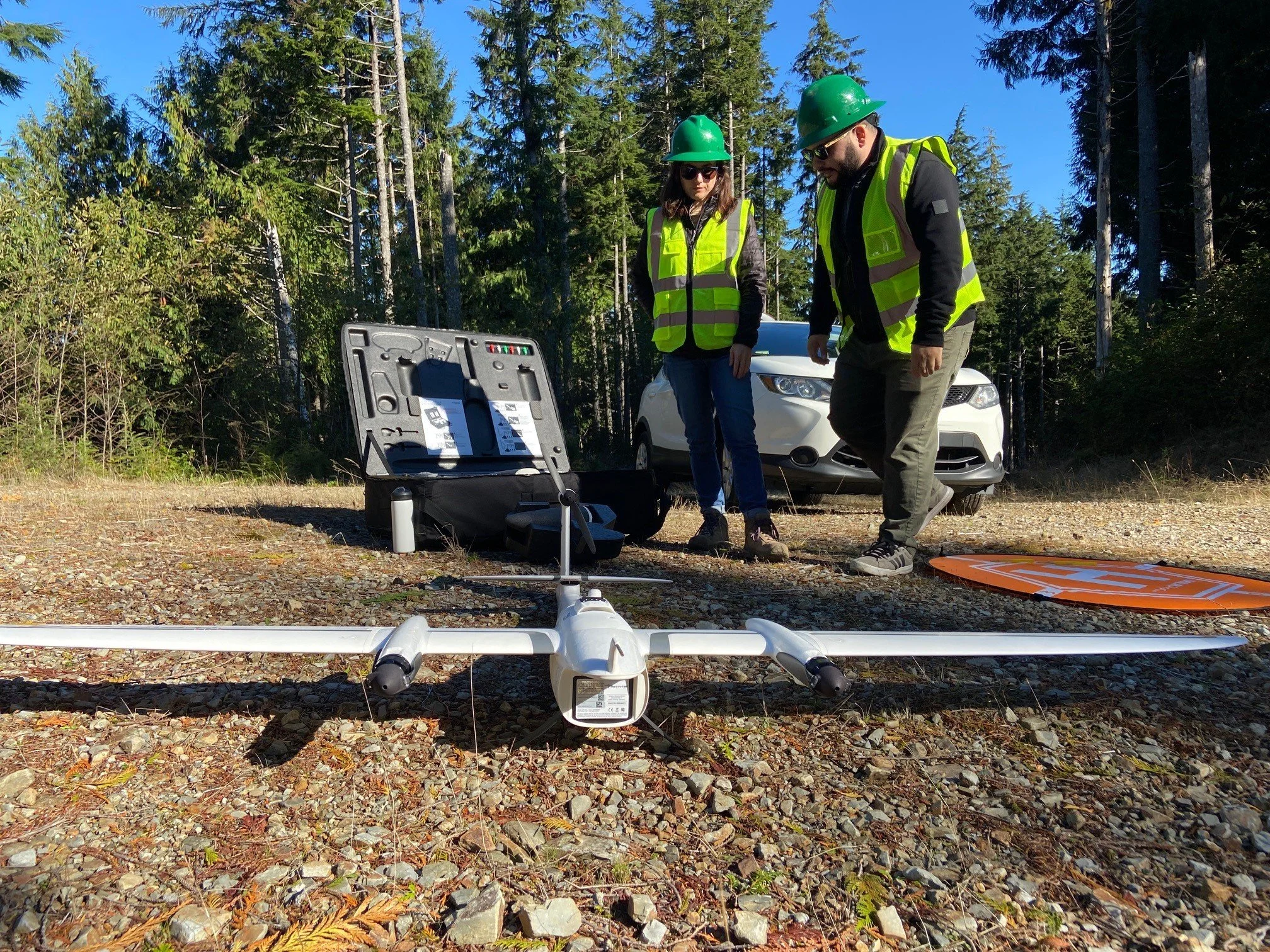
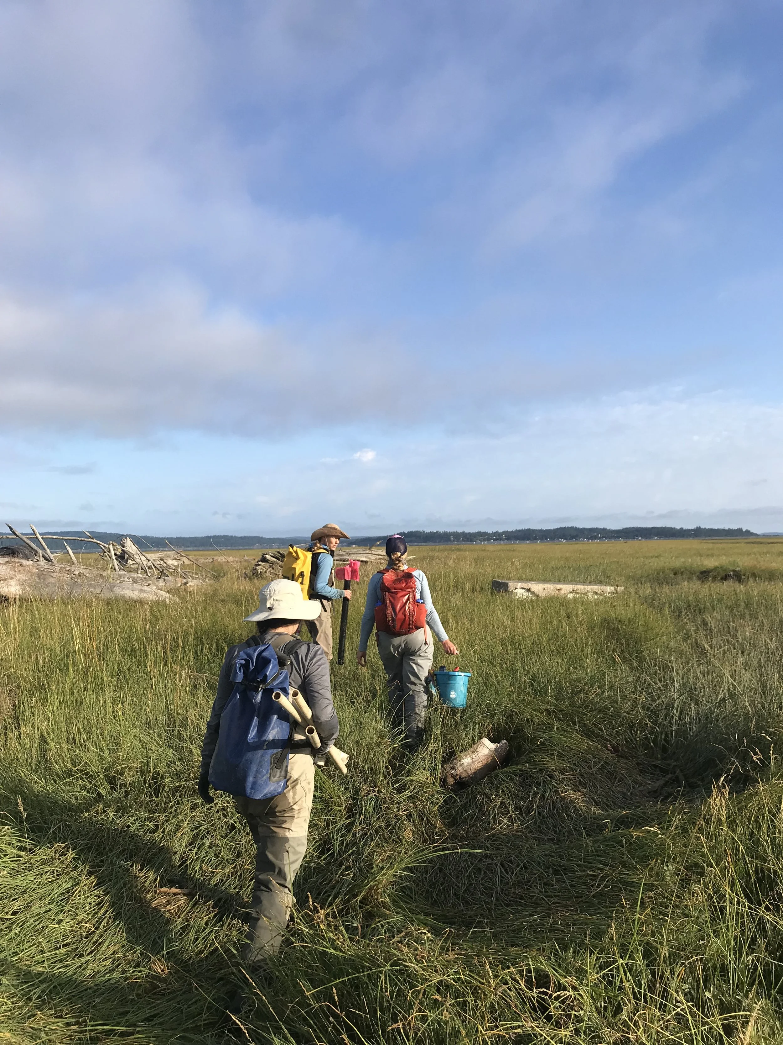
Here in Washington, we depend on our rivers and the adjacent lands — the floodplain — as they are some of the most naturally and economically productive ecosystems on the planet. But they also pose risks to us in the form of floods, which could become more damaging as our climate changes.
Civilizations first began in the fertile river valleys of the Tigris and Euphrates, the Nile, the Indus and the Yellow rivers because they are obvious transportation corridors. Today is no different, and communities continue to live, farm, fish and build in floodplain areas.
The Two-Minute Takeaway
A quick explanation of scientific terms and concepts we use regularly in conservation
These flat, low-lying lands in Washington now contain built towns and cities, schools and hospitals, along with our most productive farmlands and much of the last remaining salmon habitat.
That’s why we’re focusing so much of our work in Washington to ensure that rivers and floodplains are managed in a way that people and nature can thrive. The Floodplains by Design program maximizes the many benefits our rivers and floodplains provide to people in Washington while minimizing the costs and risks.